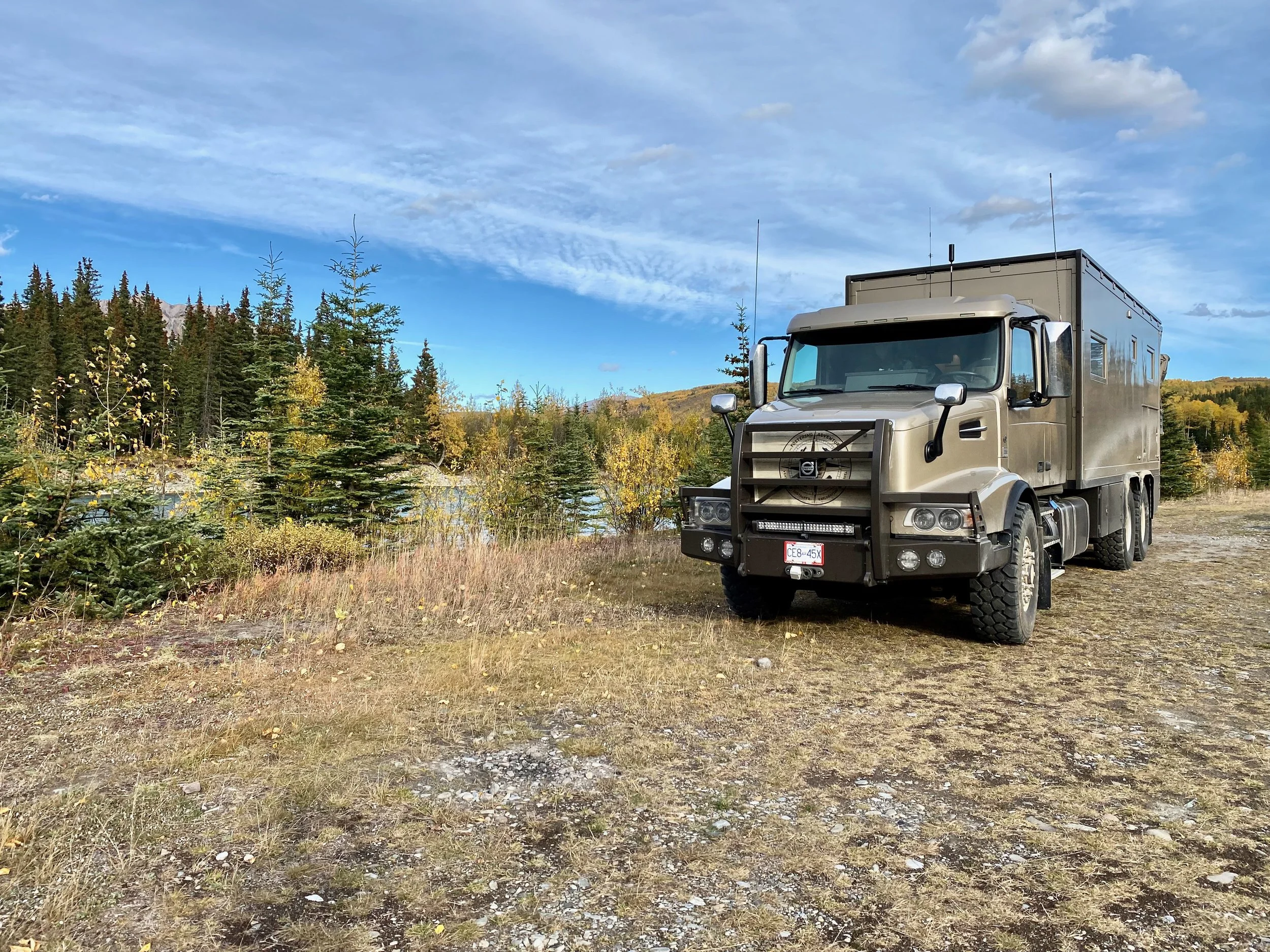
autumn Slendor And The 60th Parallel
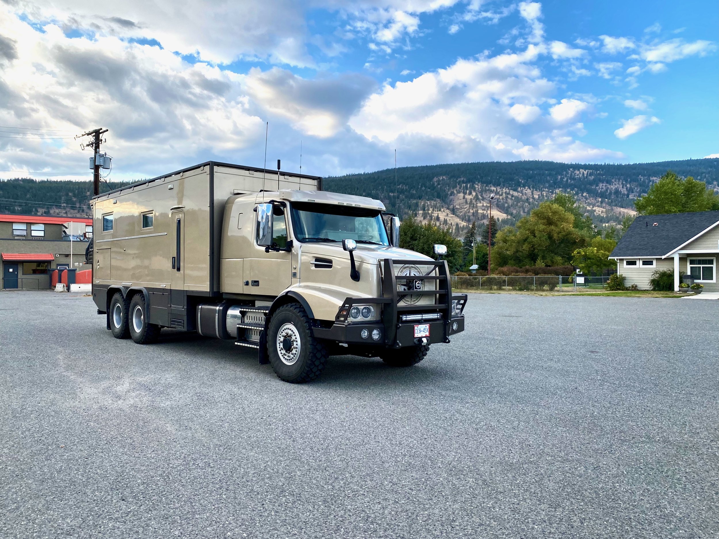
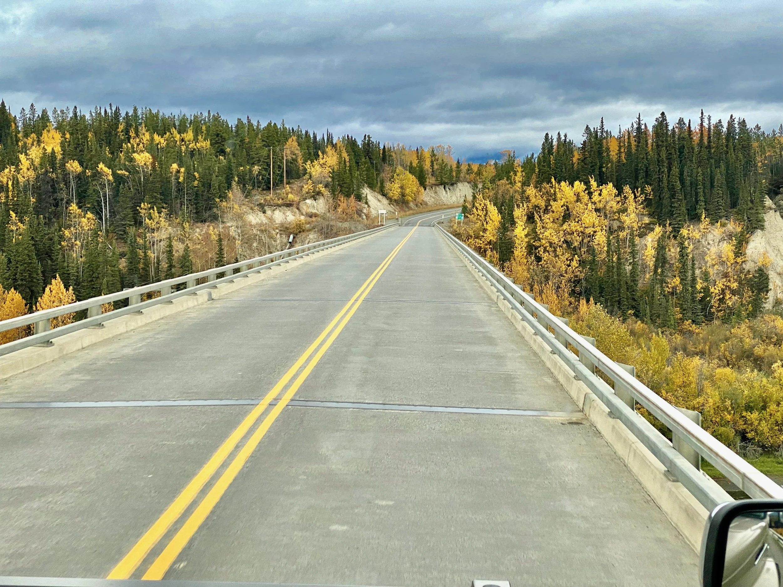
The Long Road Home
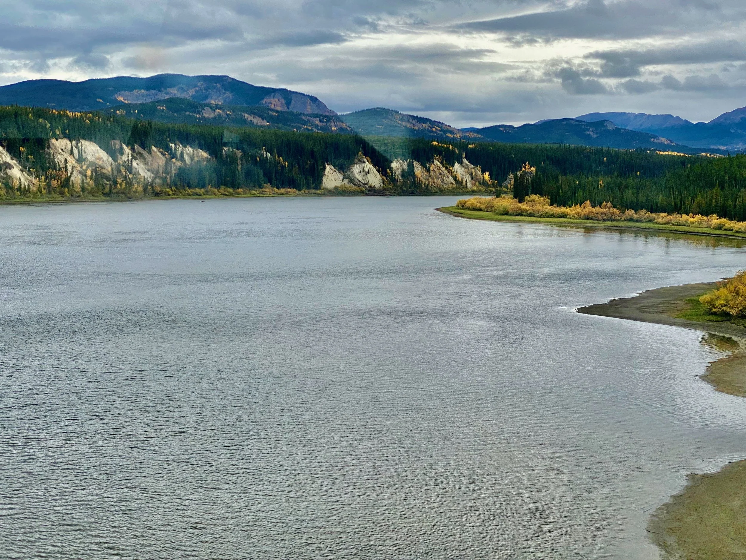
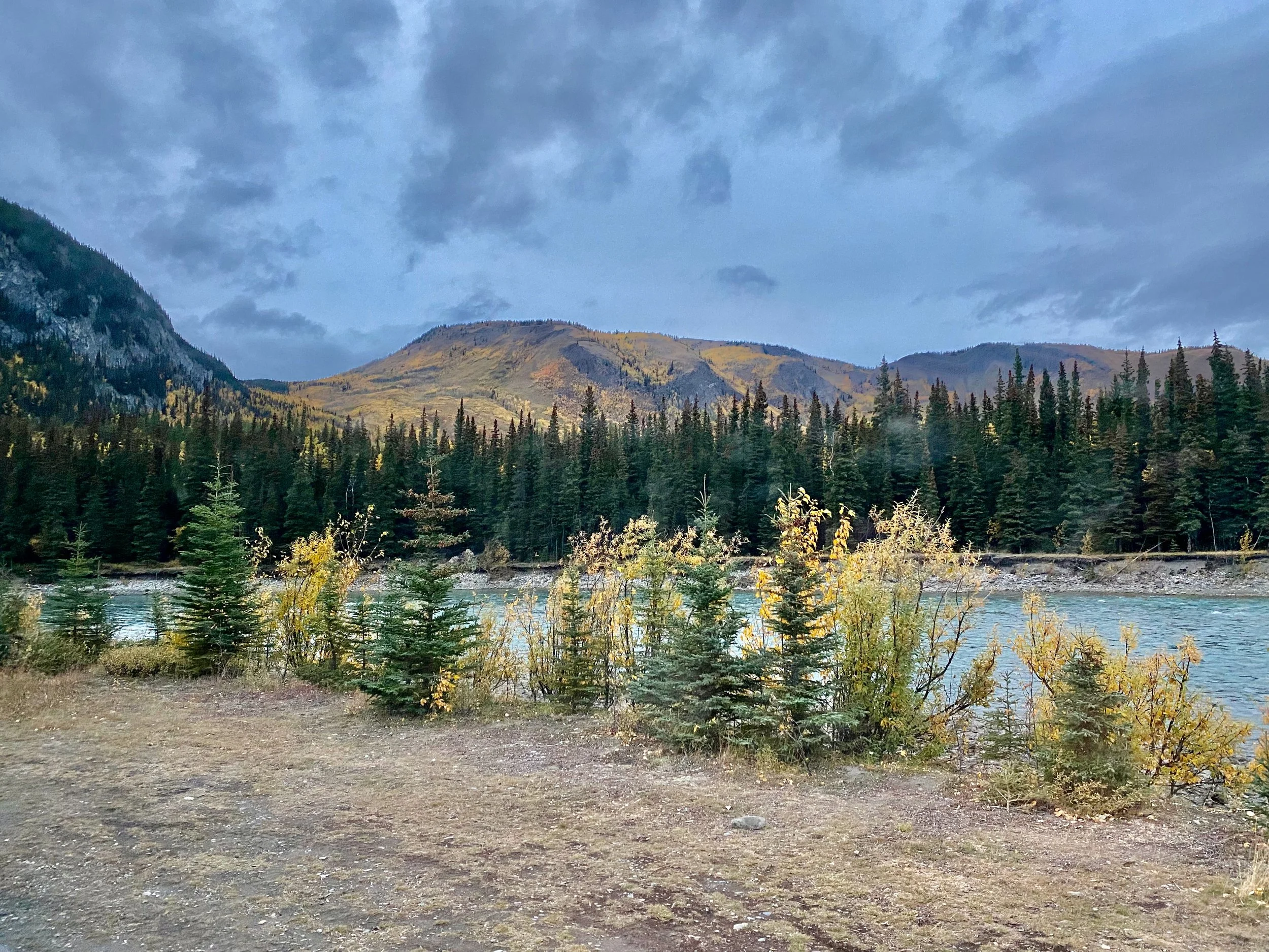
Another beautiful scene near Muncho Lake.
Disappointed, Yet Grateful
Despite being disappointed about not getting to the Arctic Ocean once again, we did feel grateful for all the amazing scenery that we saw in full autumn majesty. We were also grateful for the unbelievable weather that we had during the 18 day journey, not to mention the weeks of summer like weather that we had once we got back home. Truly, it’s been an autumn for the record books.
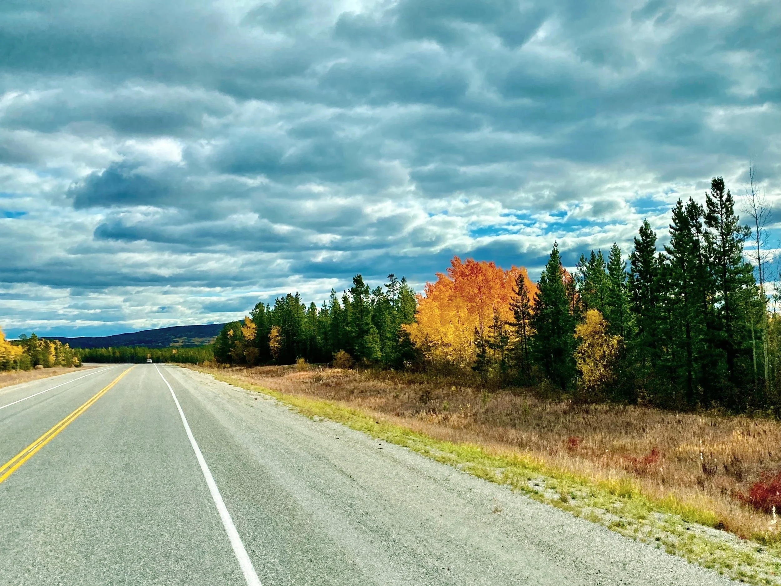
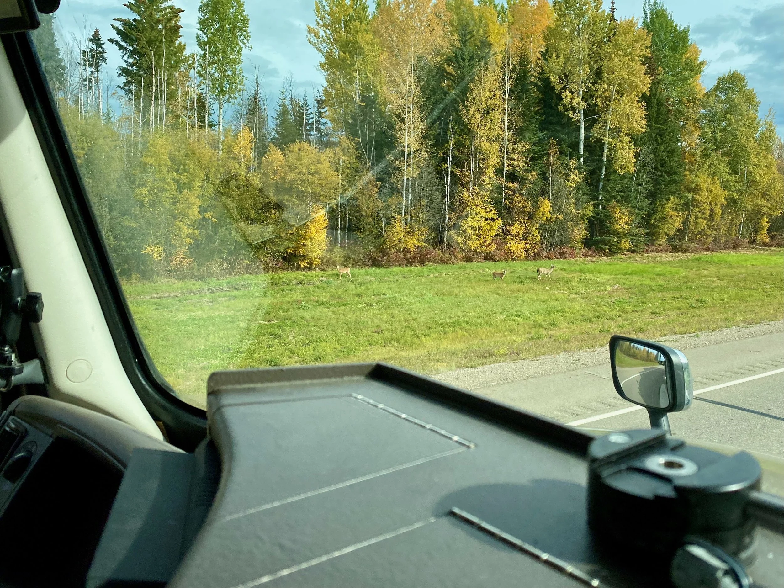
Although our journey didn’t make its planned terminus, it would continue to provide us with many more brilliant autumn scenes on our 2,400 kilometre drive back to Vancouver.
Whitehorse to Fort St. John


Heading out of Whitehorse almost as fast as we arrived, we backtracked our previous route until we reached Fort Nelson. We’d already checked to see that the bridge south of Fort Nelson that was damaged, and prevented us from crossing it two weeks earlier, was now able to sustain our weight. We needed to know this before leaving Watson Lake, as this was where the decision had to be made whether to take the eastern route south, or the western one. Our preference is the eastern route, as it’s a much safer highway and more likely to have fine weather.
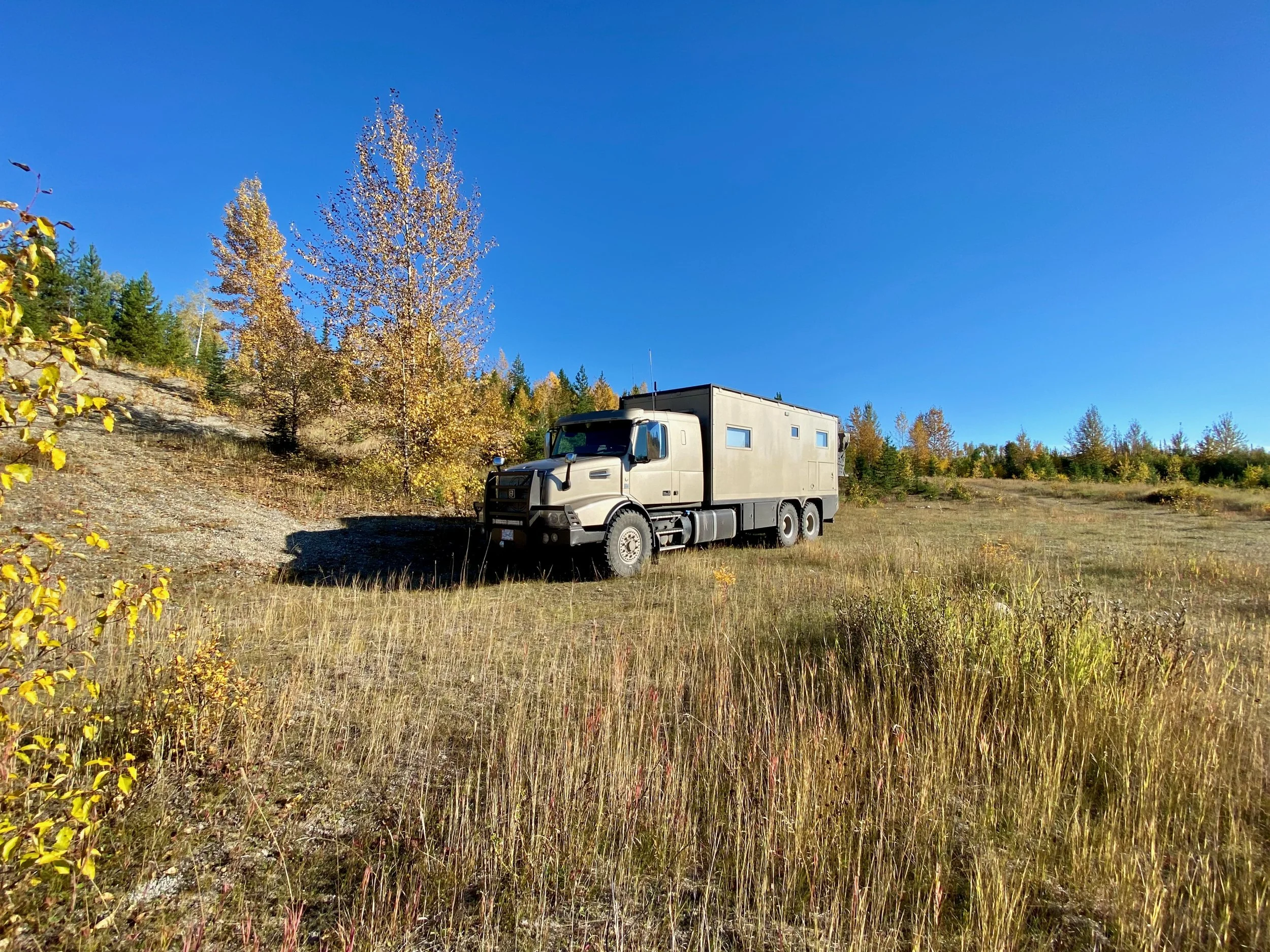
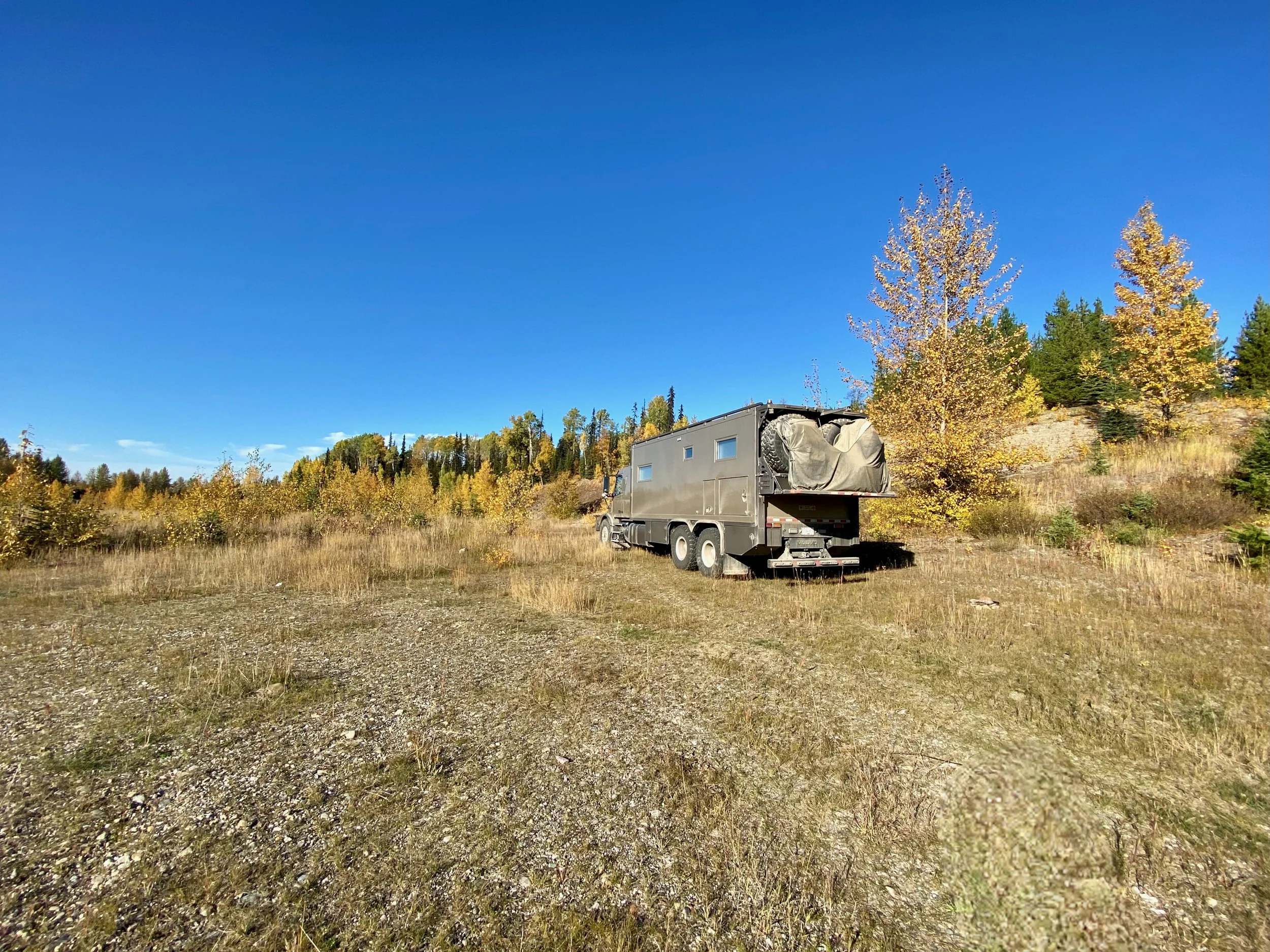
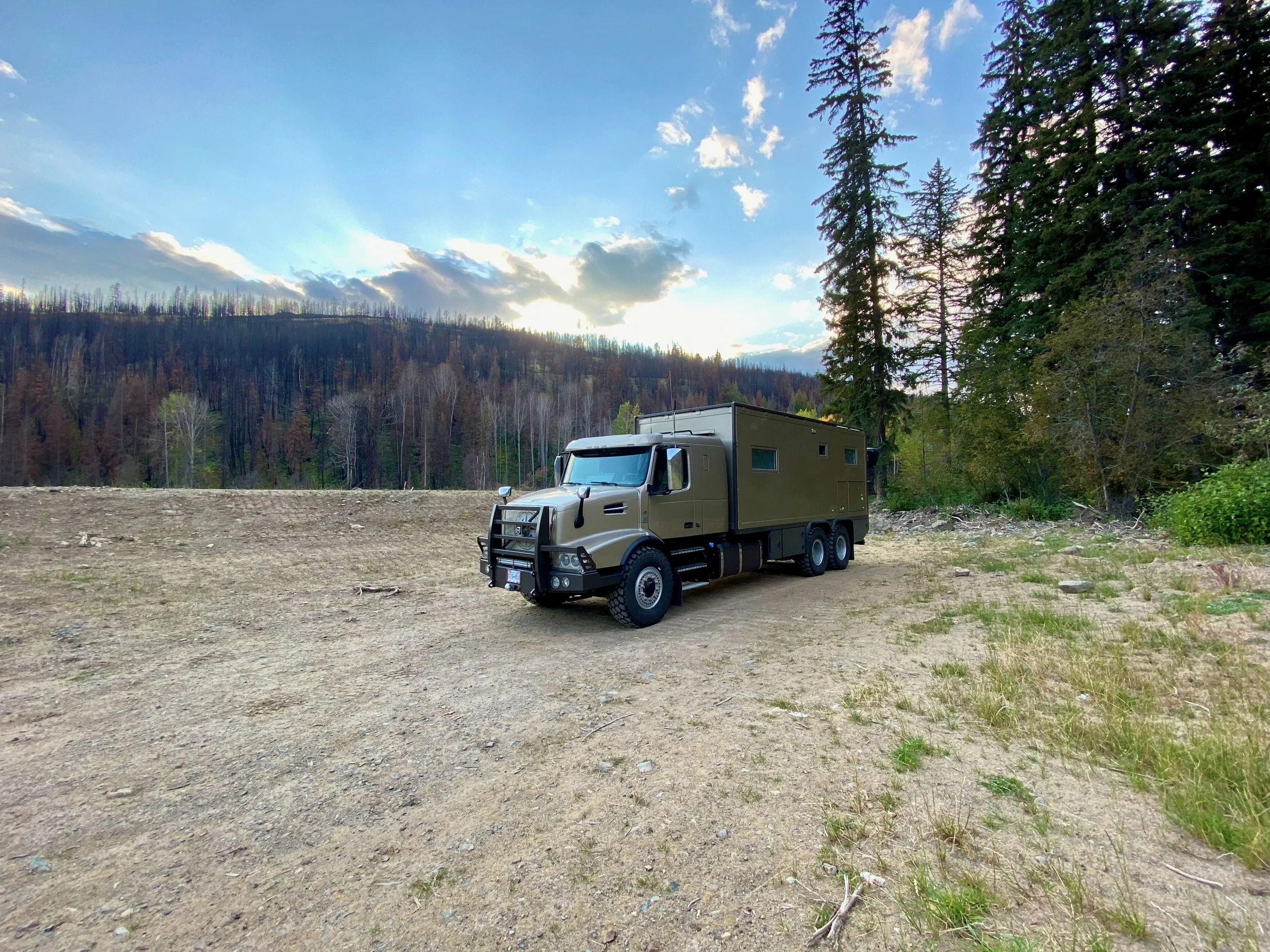
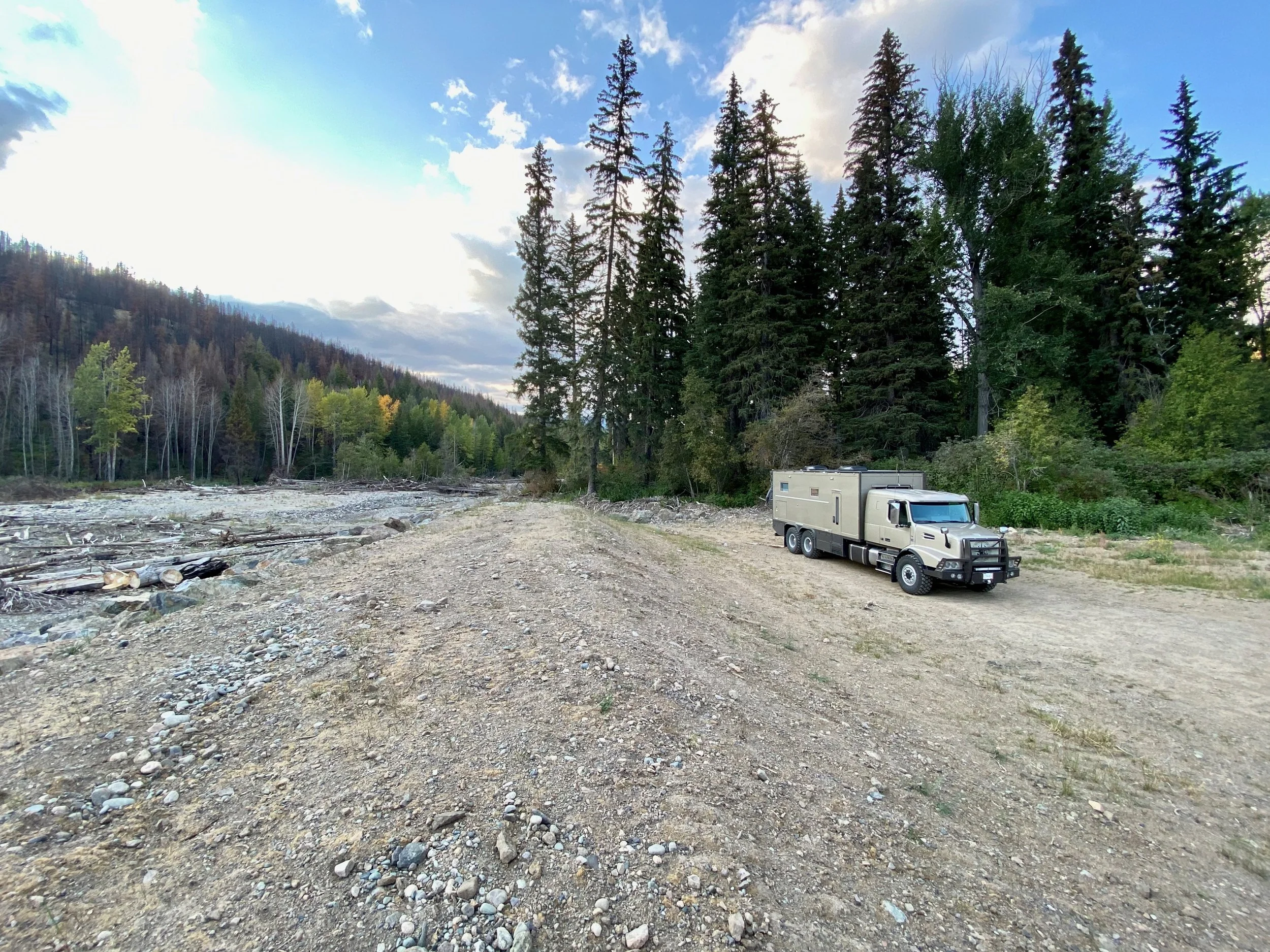
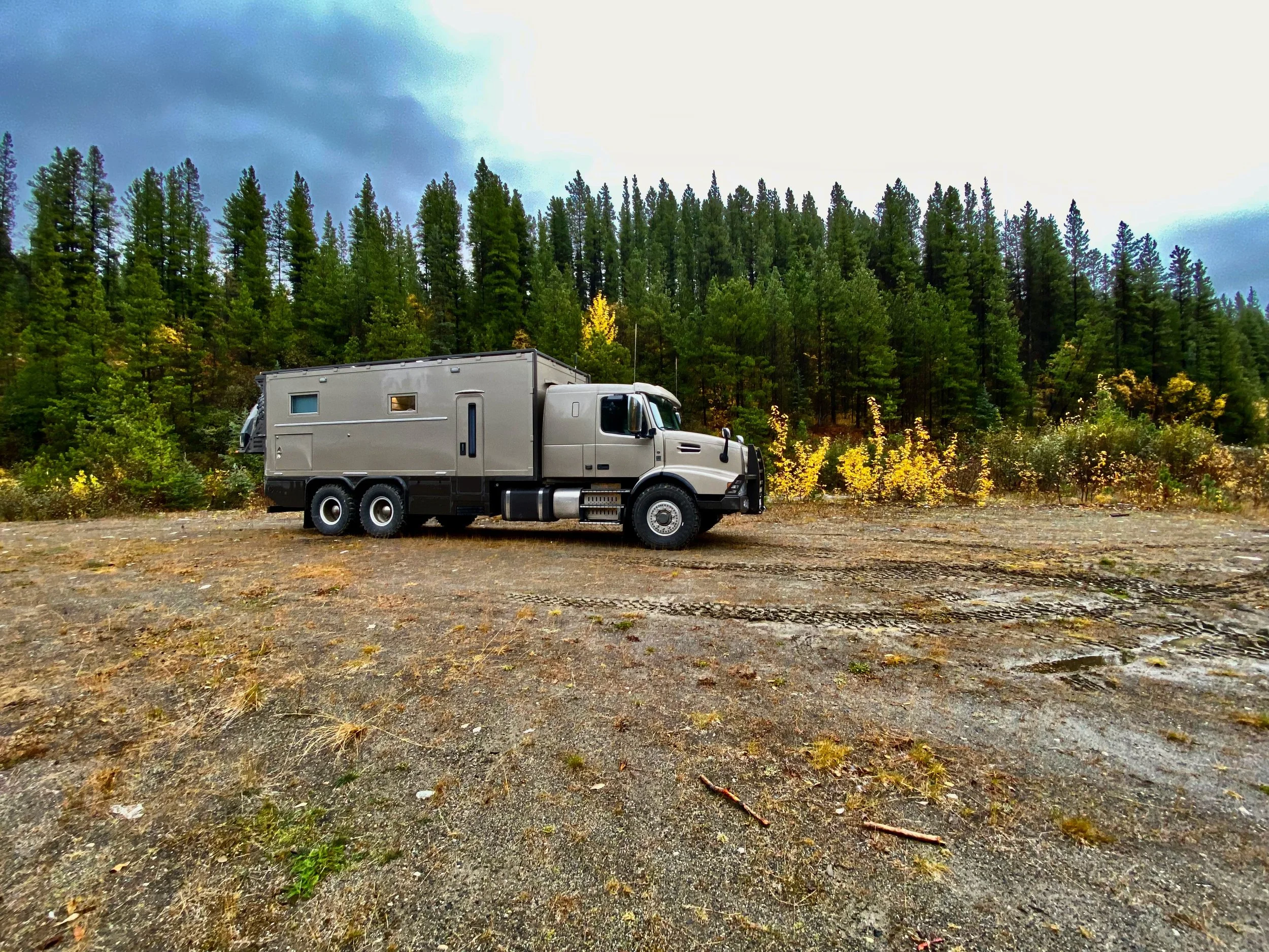
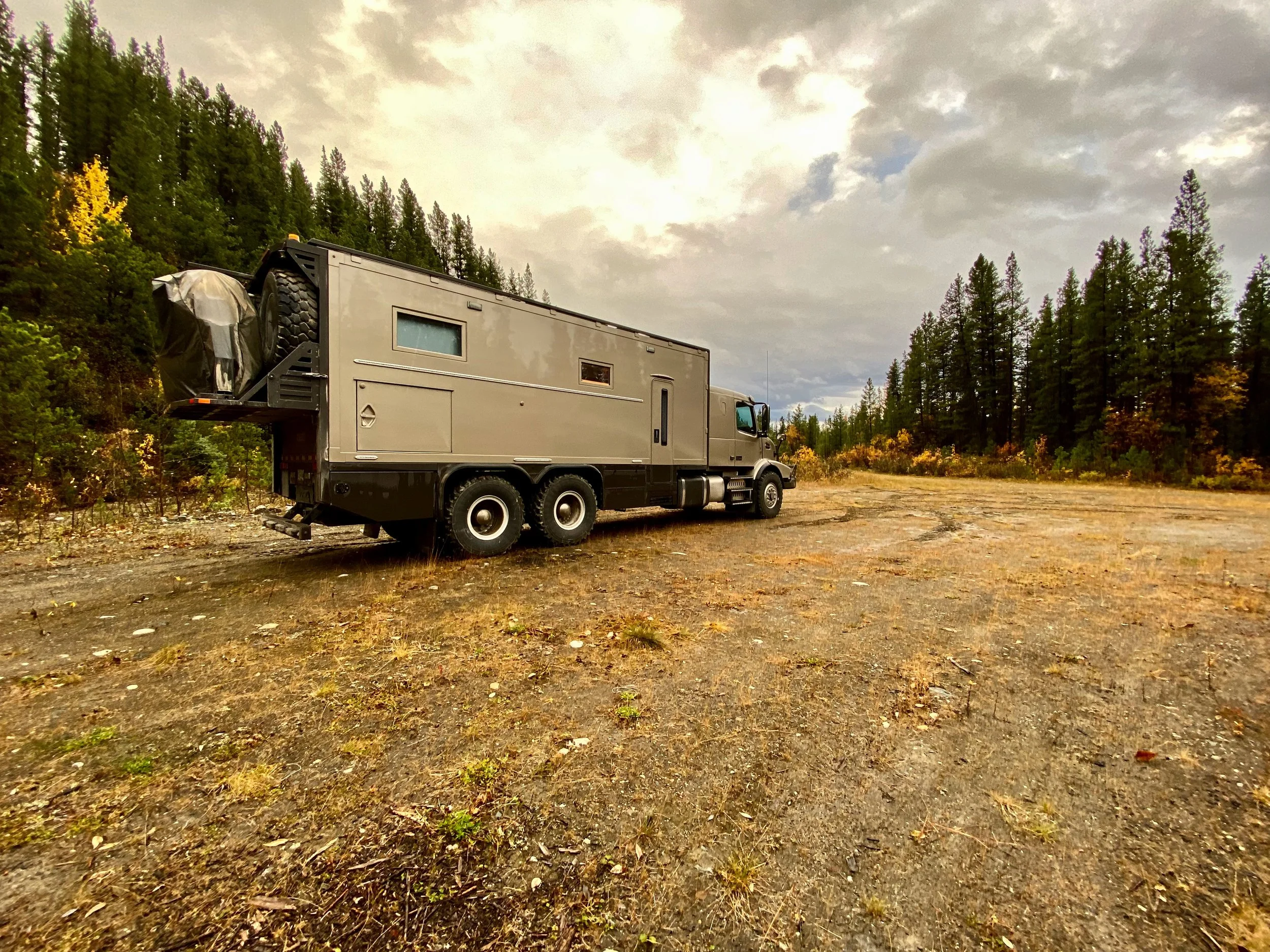
Since it was already after lunch by the time we left Whitehorse, we knew we’d need a camp spot before we hit Watson Lake. Conveniently, this came just after Swift River hidden from the road on a side clearing.
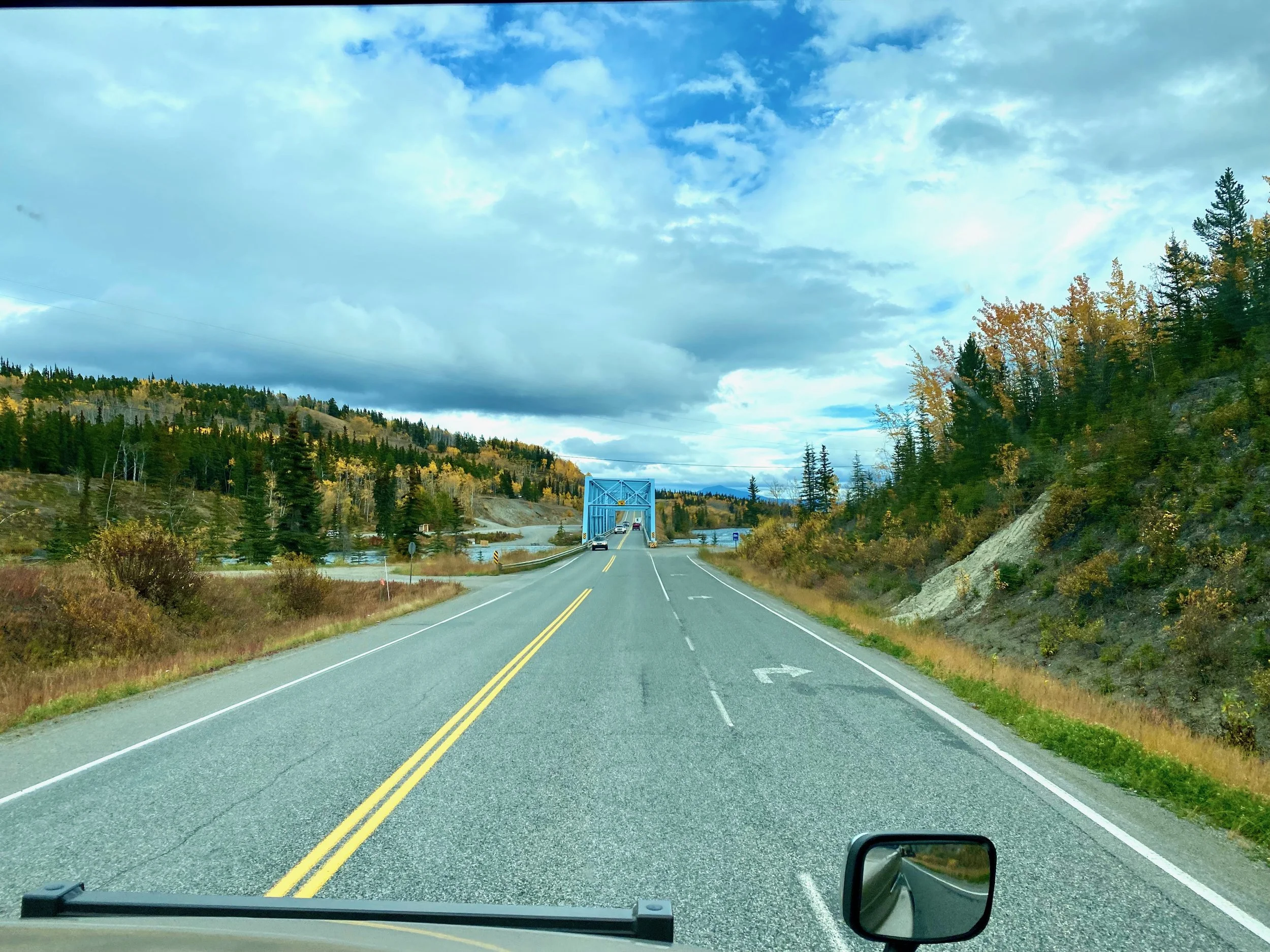


Once back at Watson Lake we stopped briefly at the Signpost Forest to check on our sign, and take our morning coffee break. Then just before 11:00 we continued our way south toward Fort Nelson and beyond.
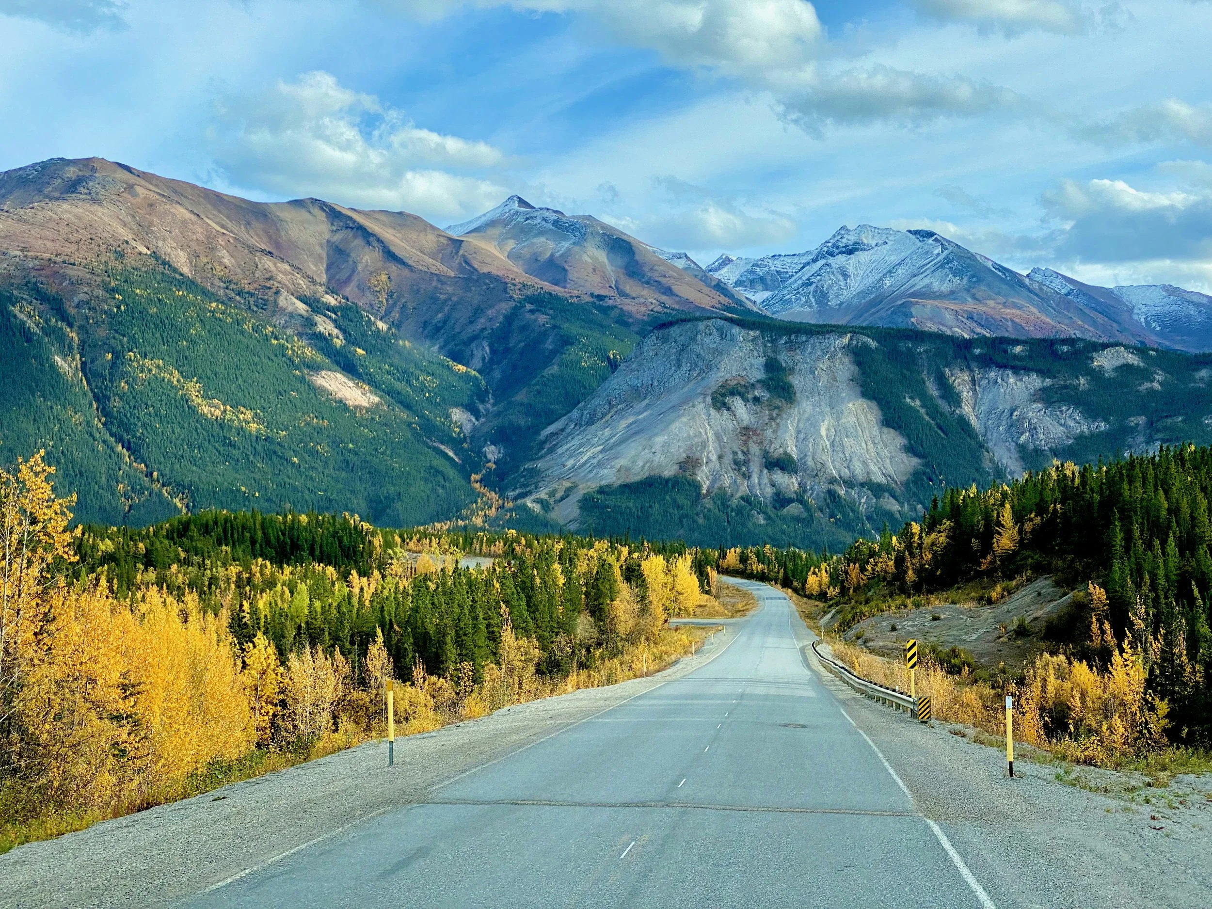
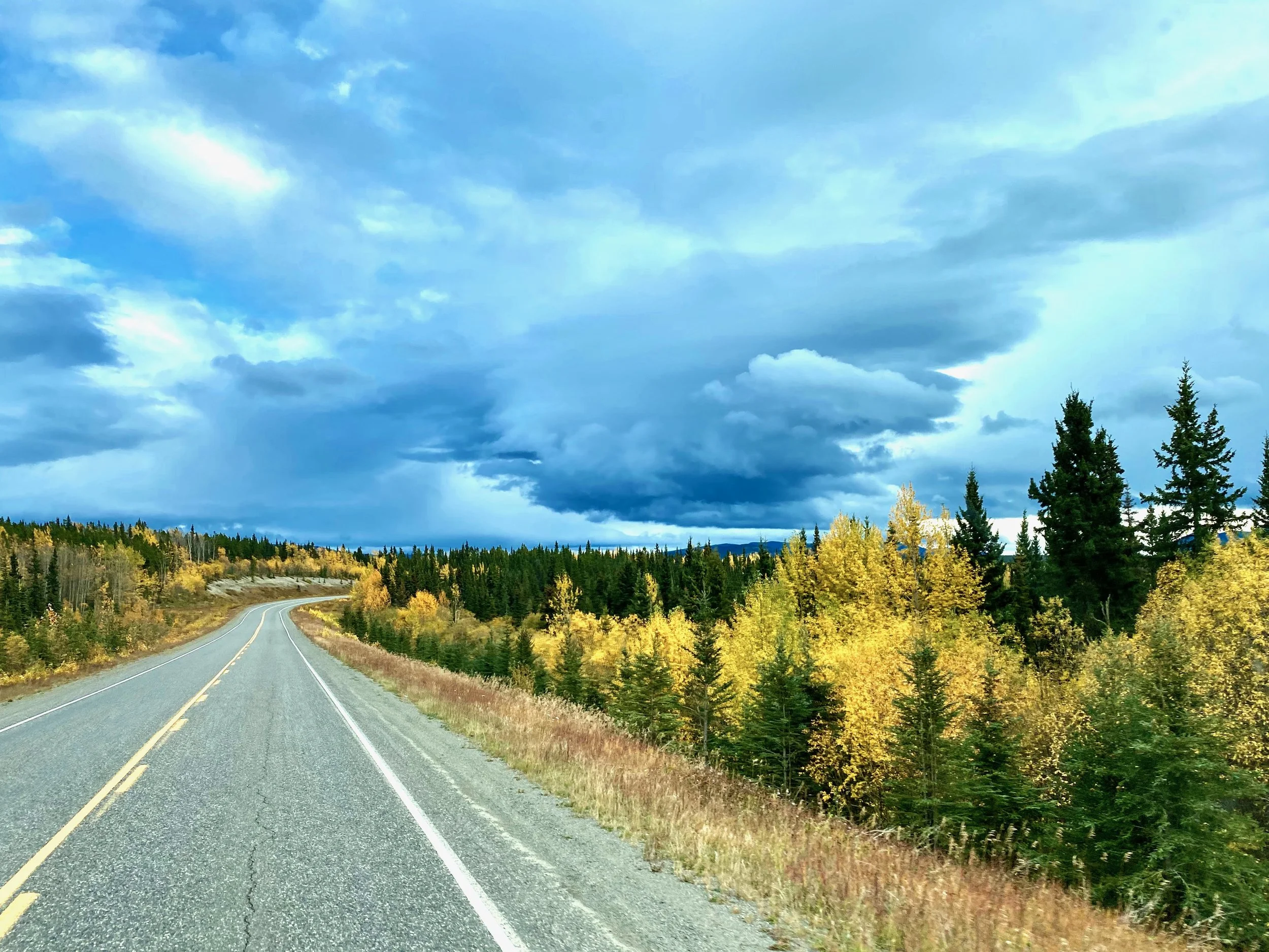
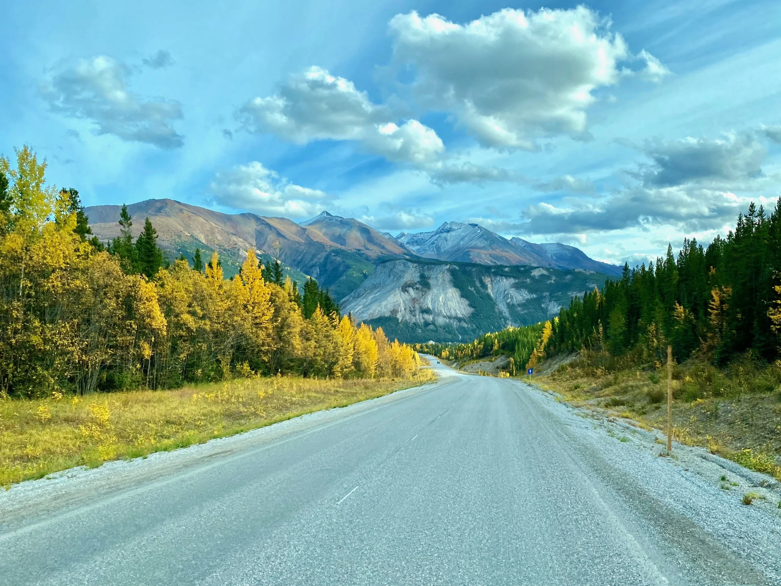
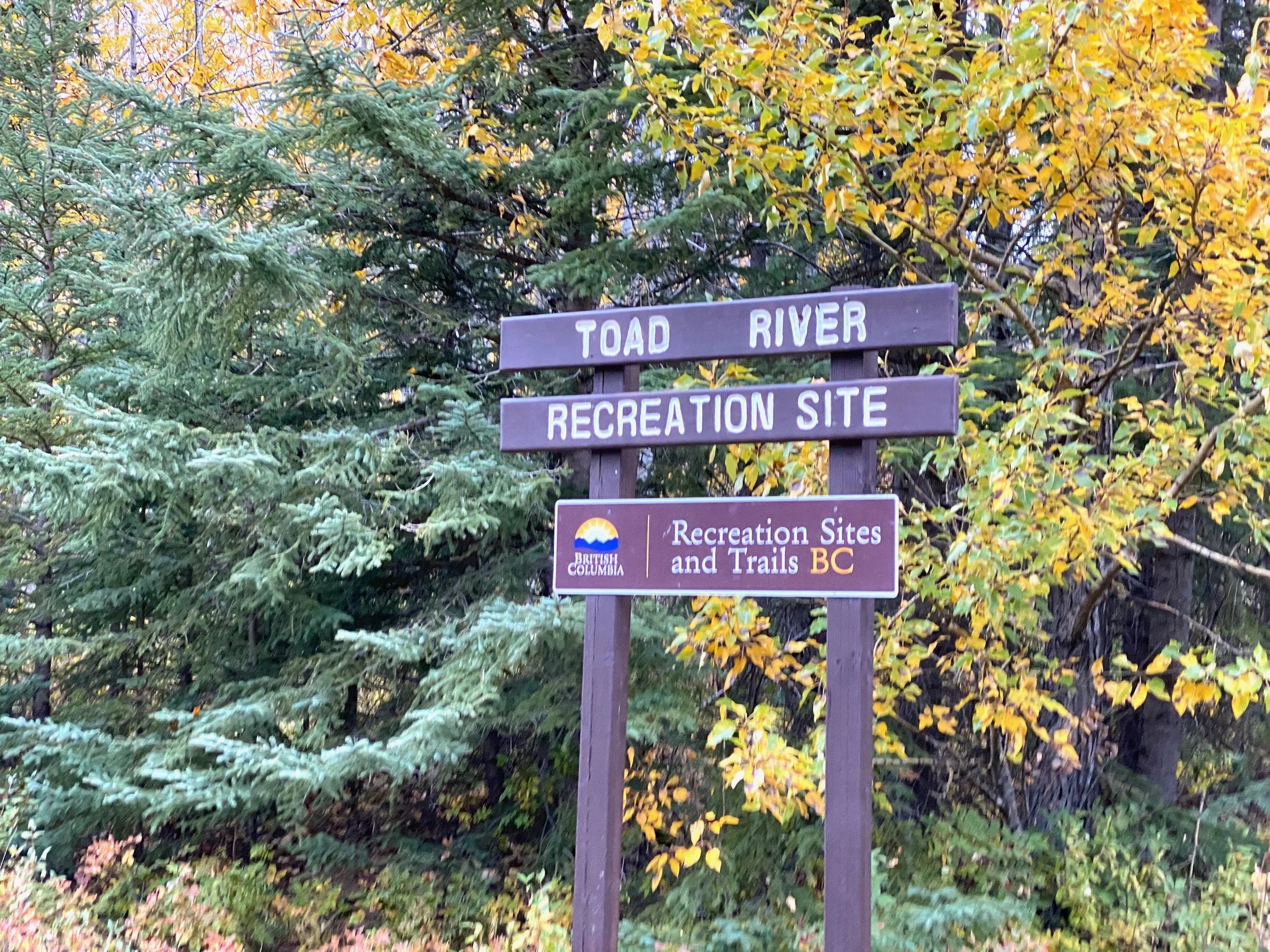
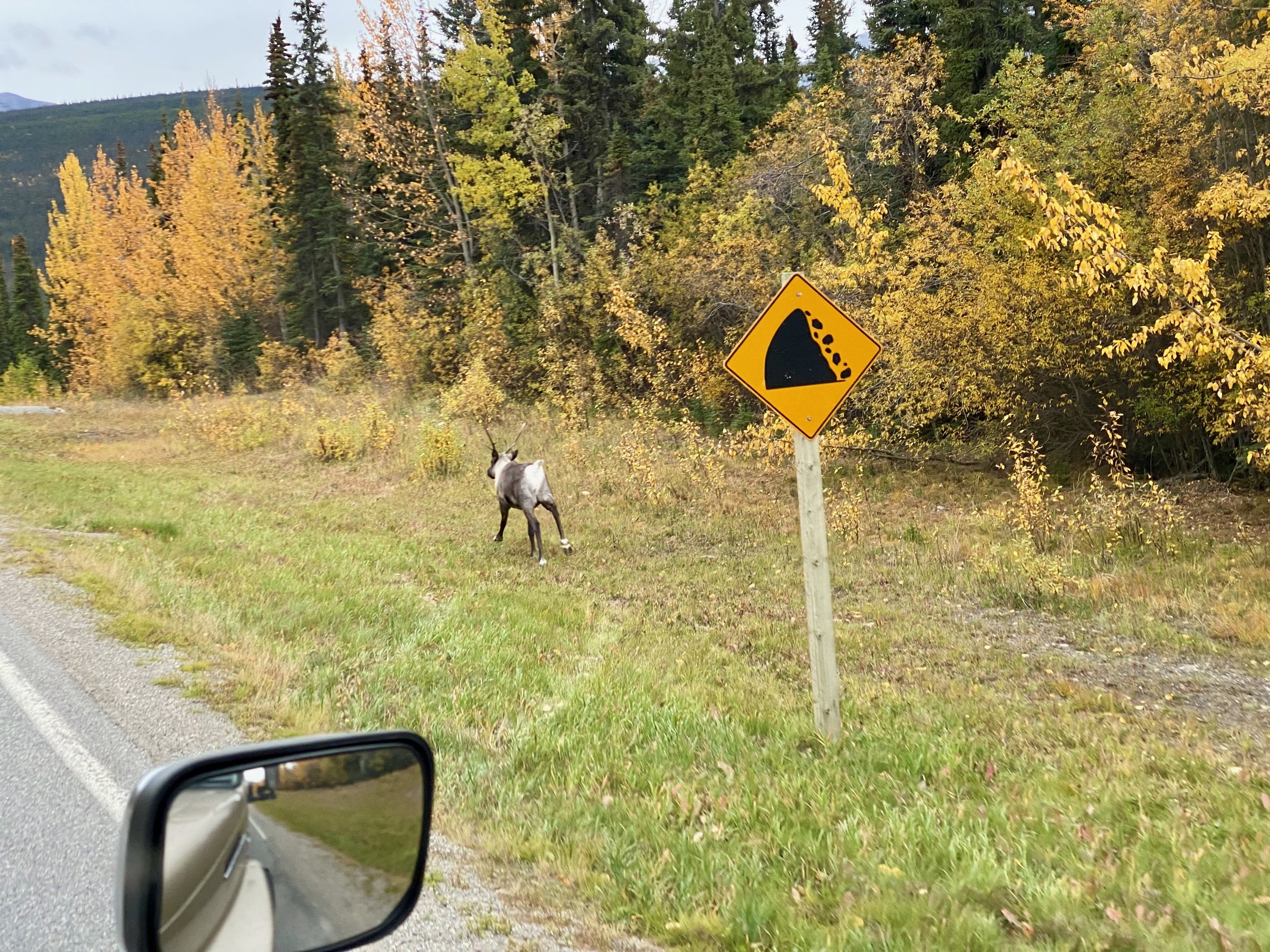
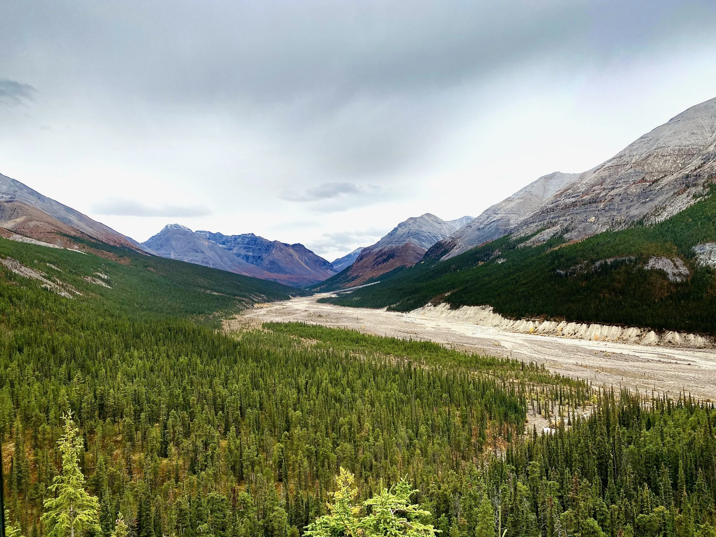
We knew we wouldn’t make Fort Nelson this night, as it was over 500 kilometres away, but we hoped we would find something between Muncho Lake and Toad River. With the sun breaking through the clouds above us, we knew we were in for some terrific views of the Northern Rockies.
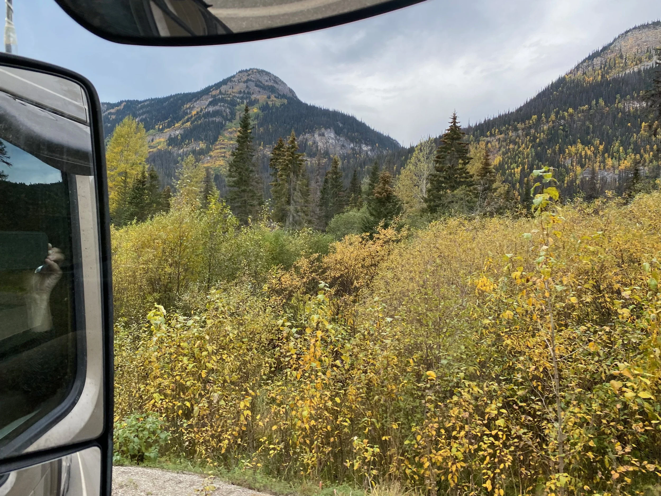
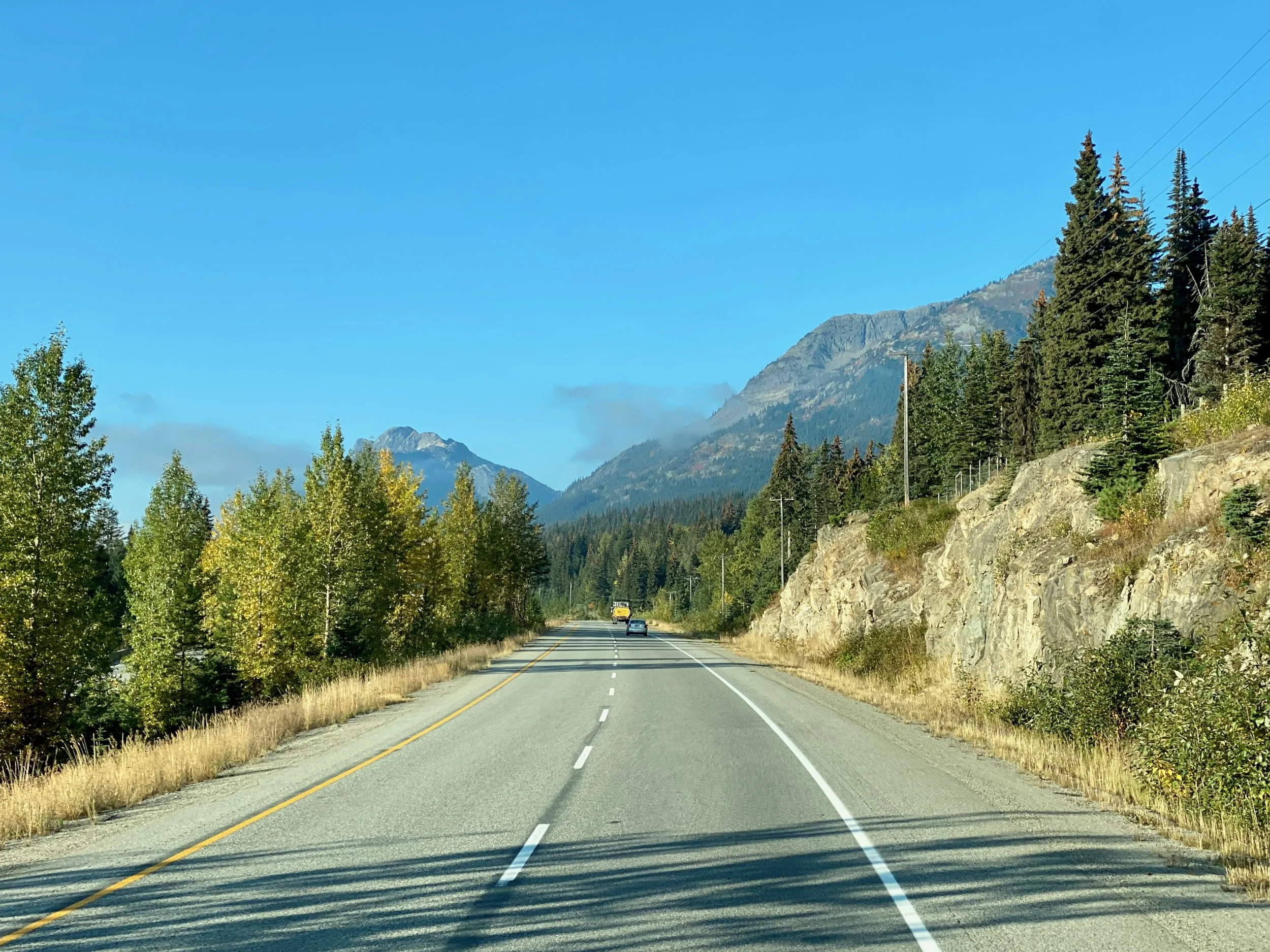
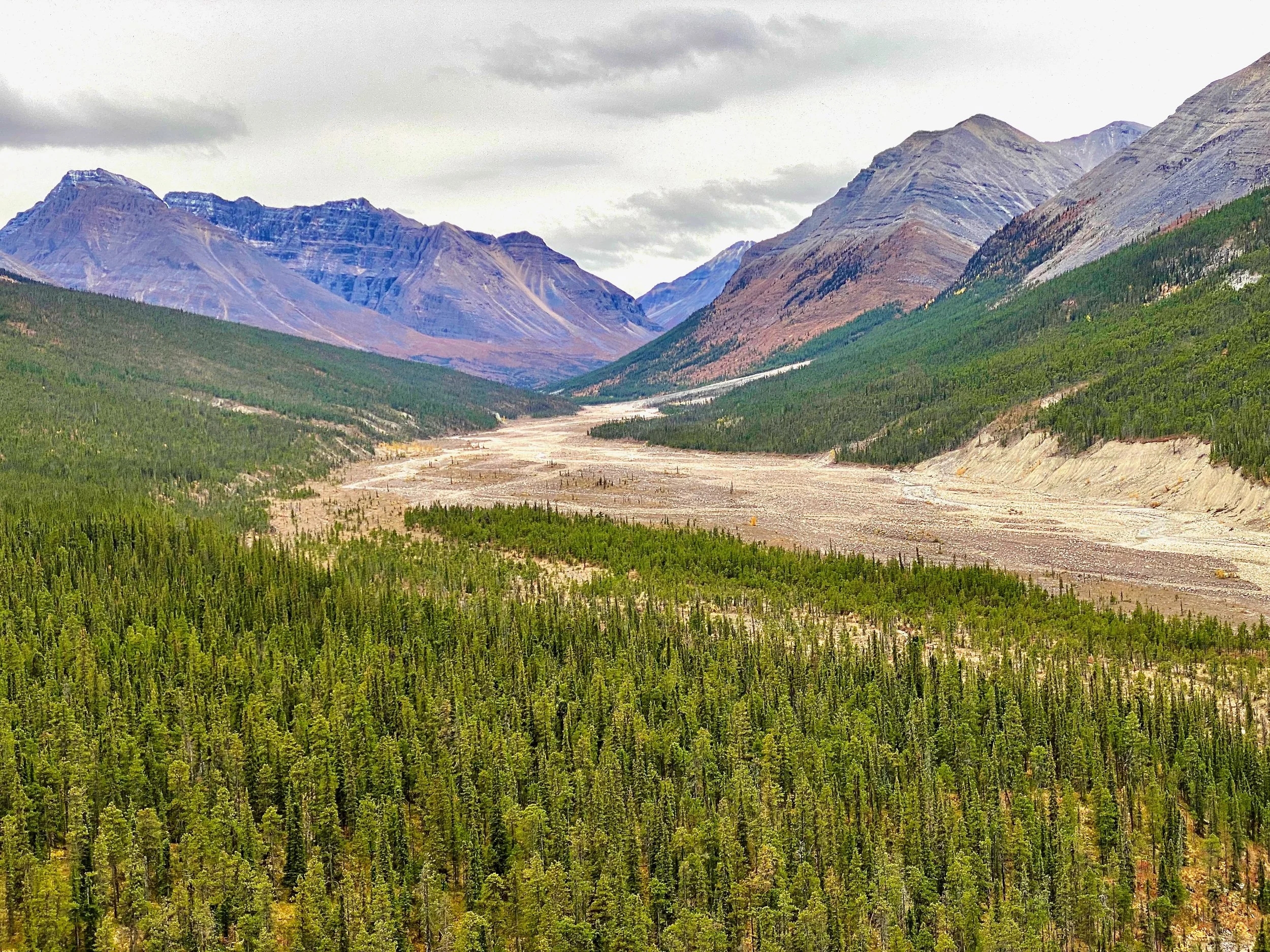
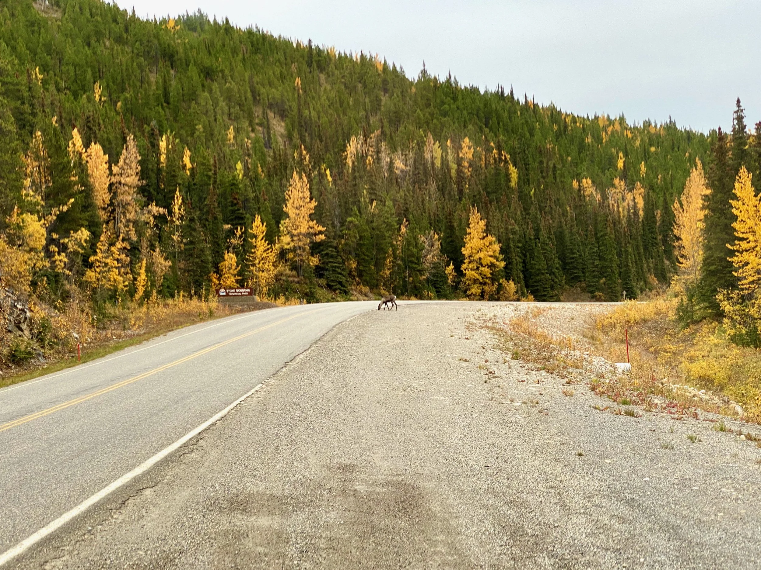
Passing Through Muncho Lake & Stone Mountain Prov. Parks
We passed through these two parks on the way north to Watson Lake, but driving in this direction provides a different perspective.
Driving alongside Muncho Lake in Northern British Columbia.
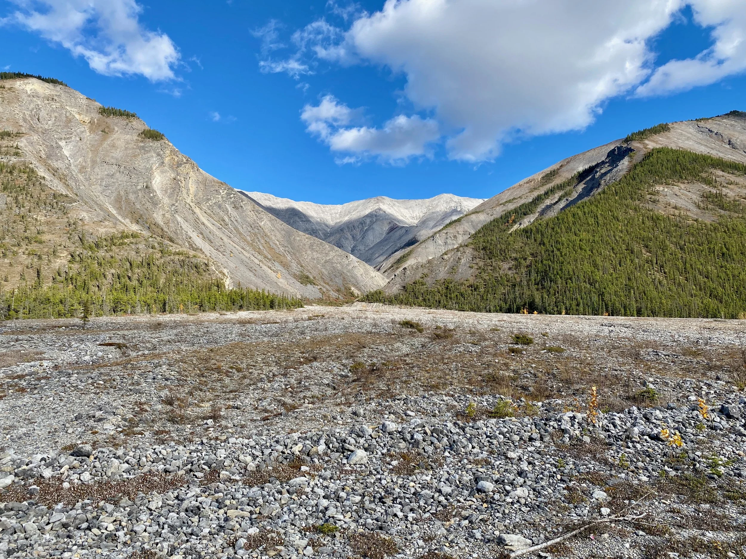


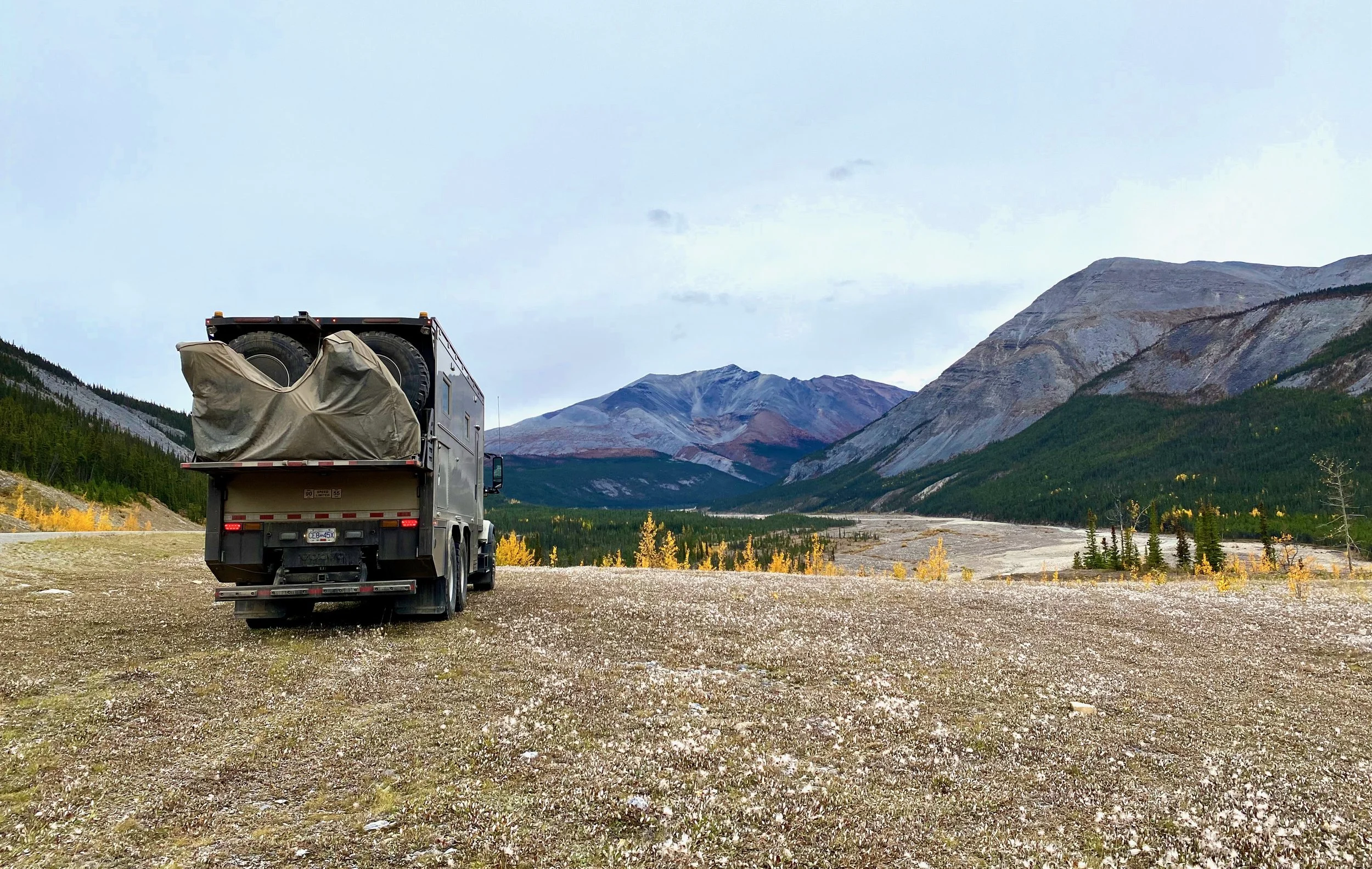
The park is aptly named. The mountains through here are mostly bare rock.

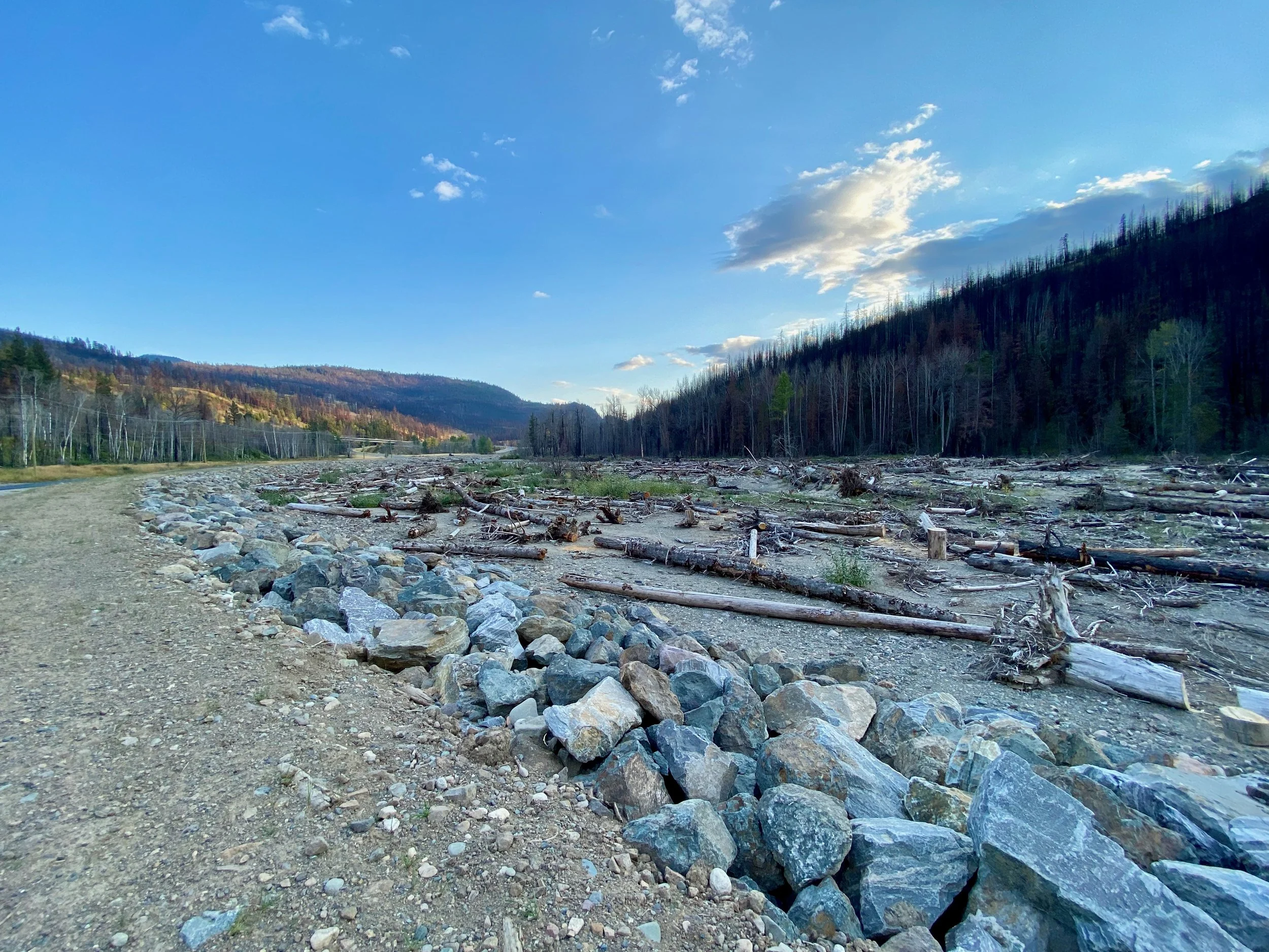
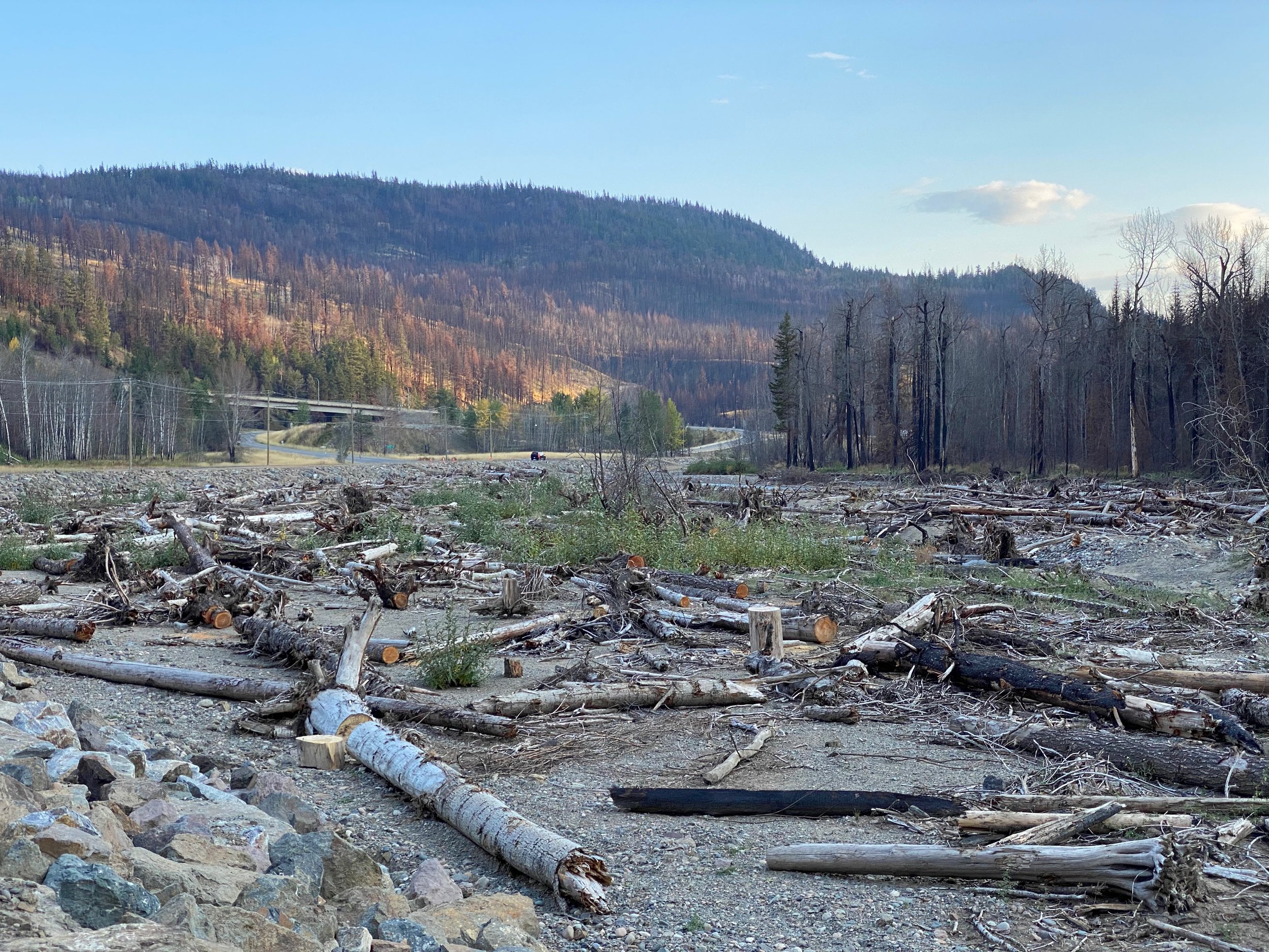
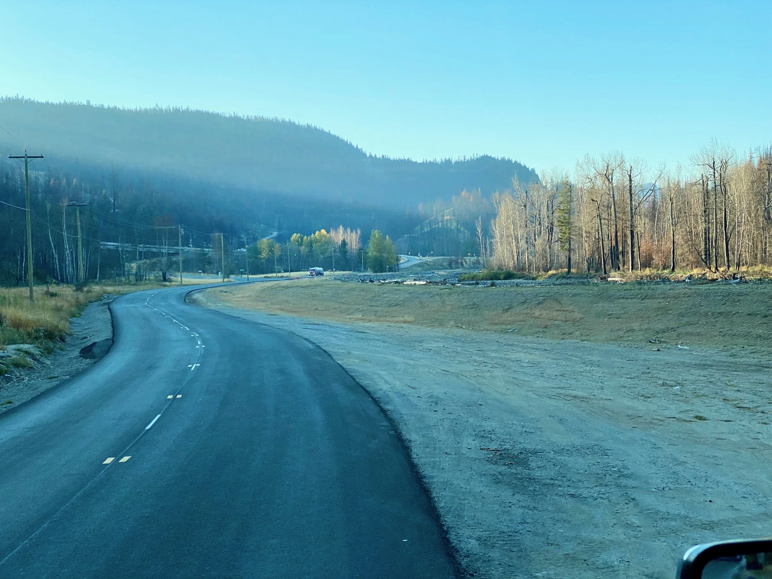
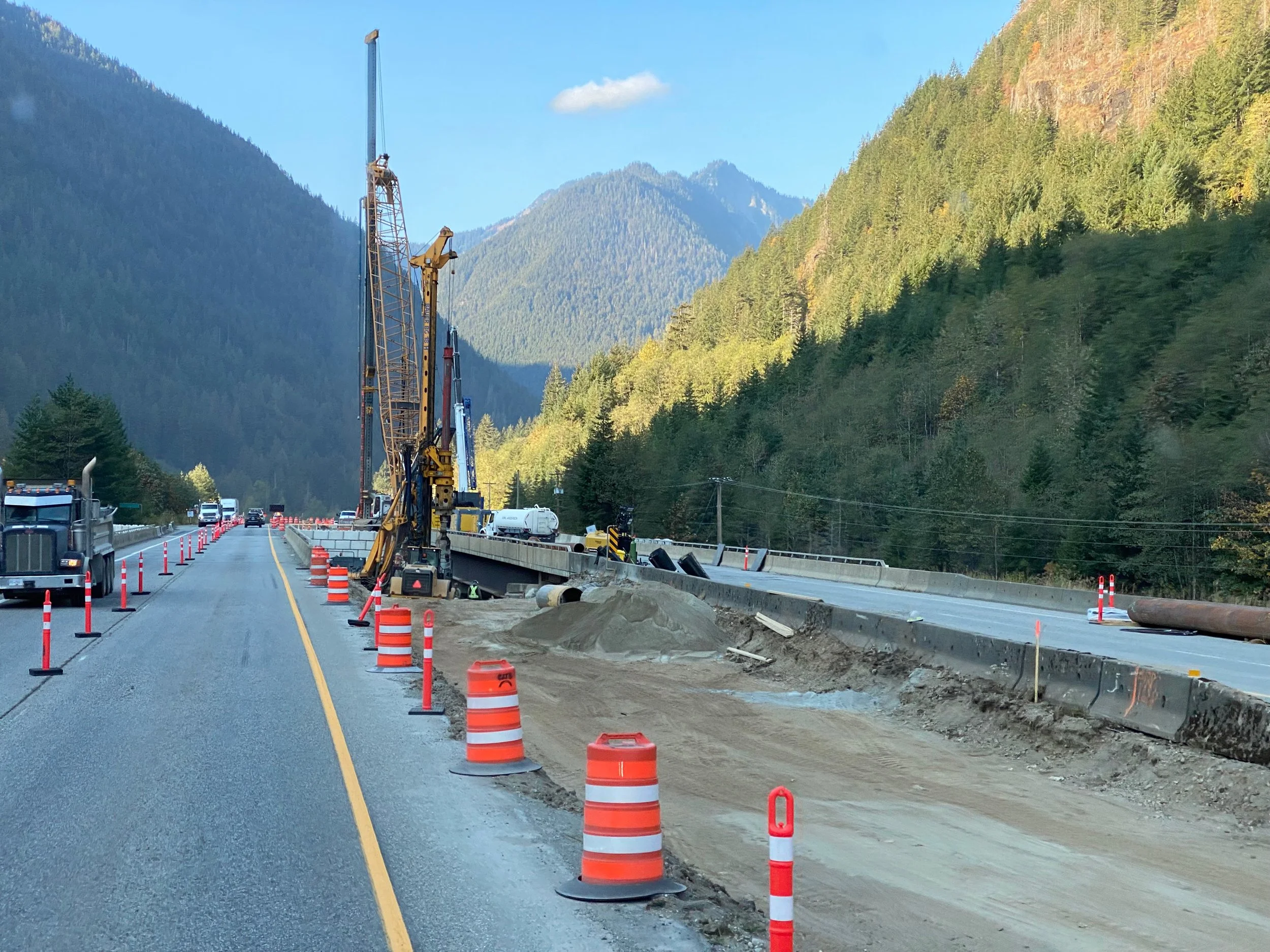
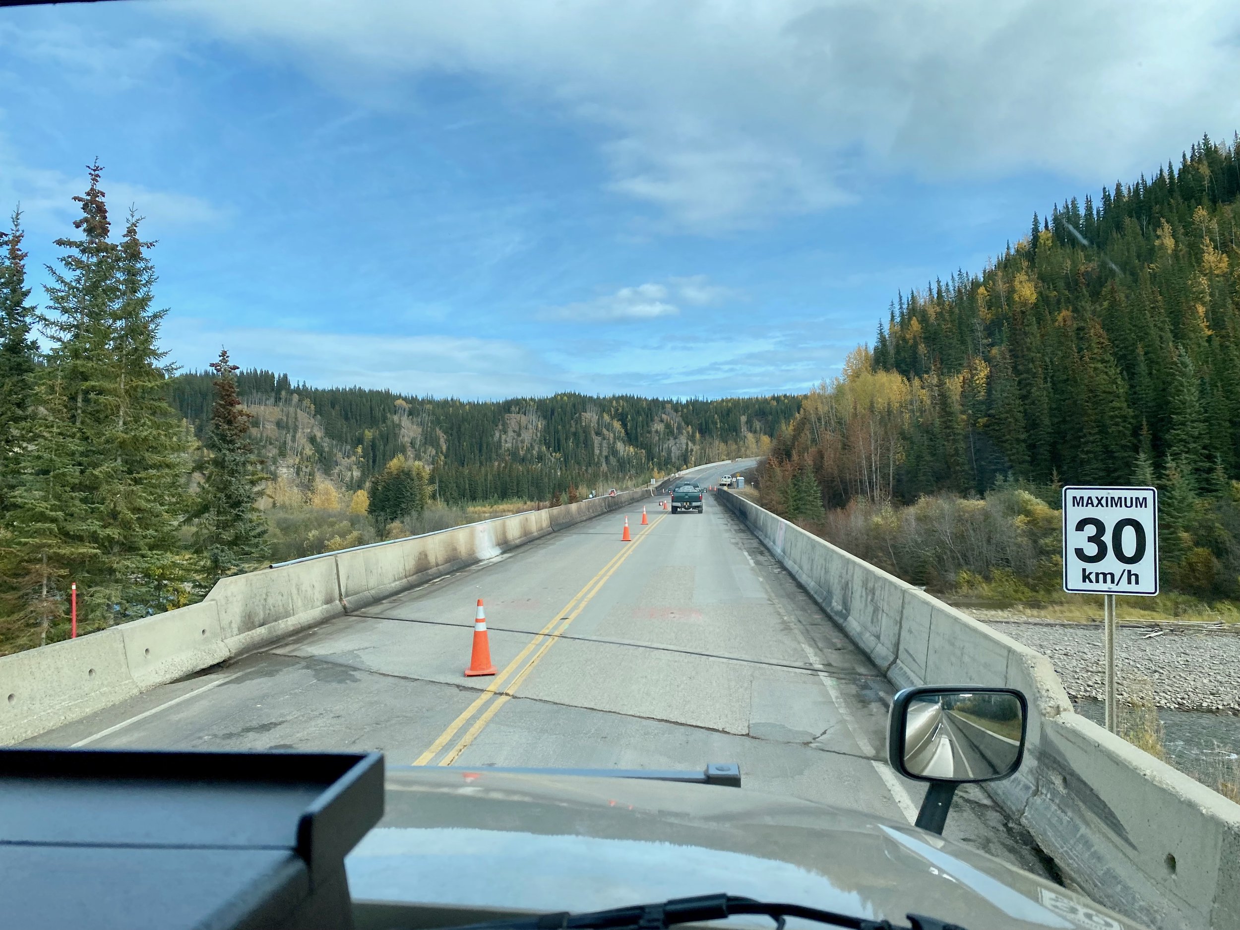
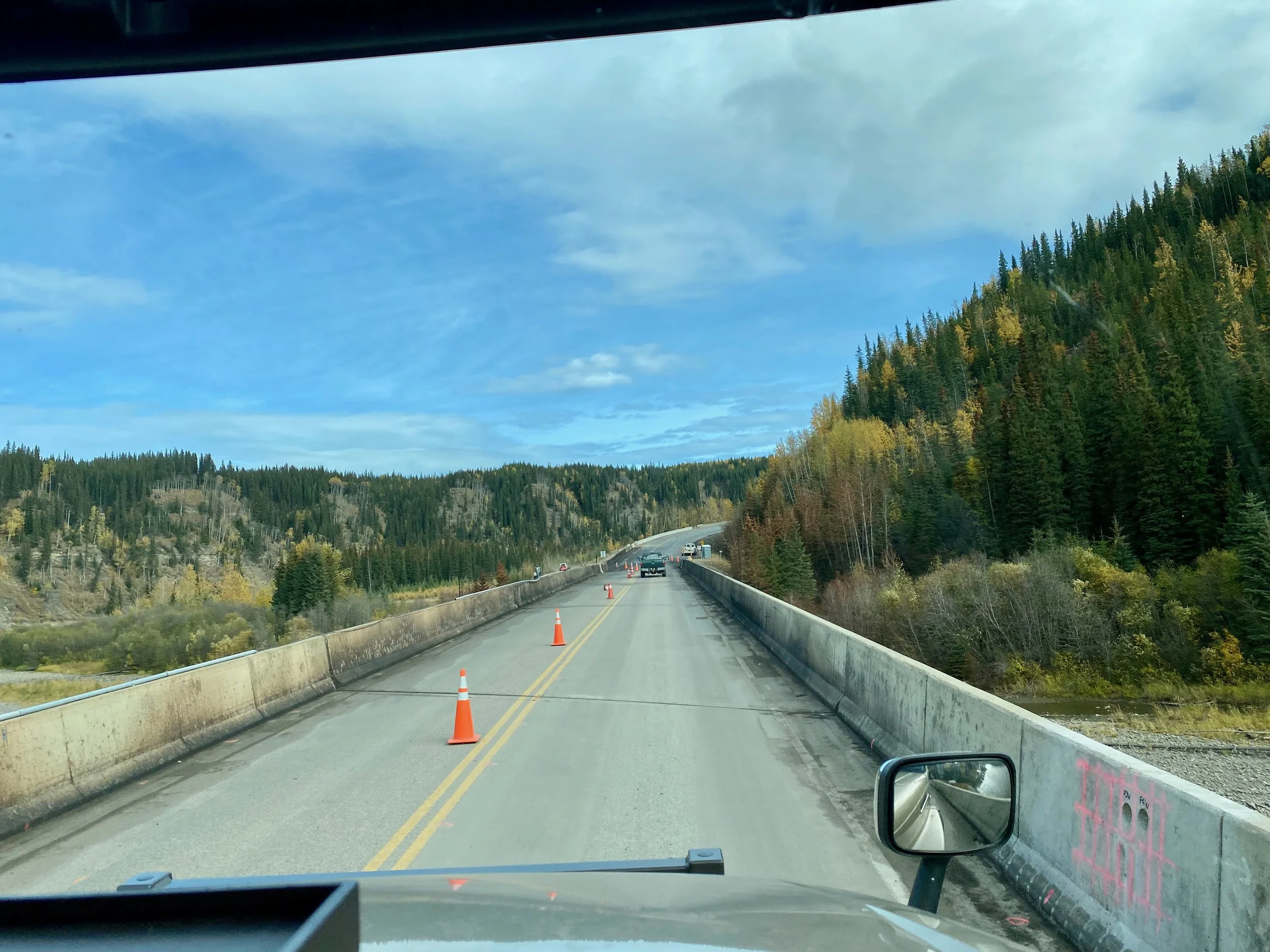
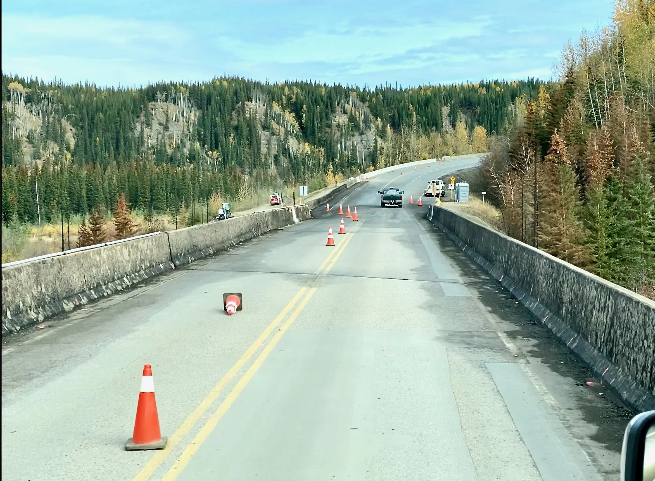
Sikanni Chief River Bridge Crash


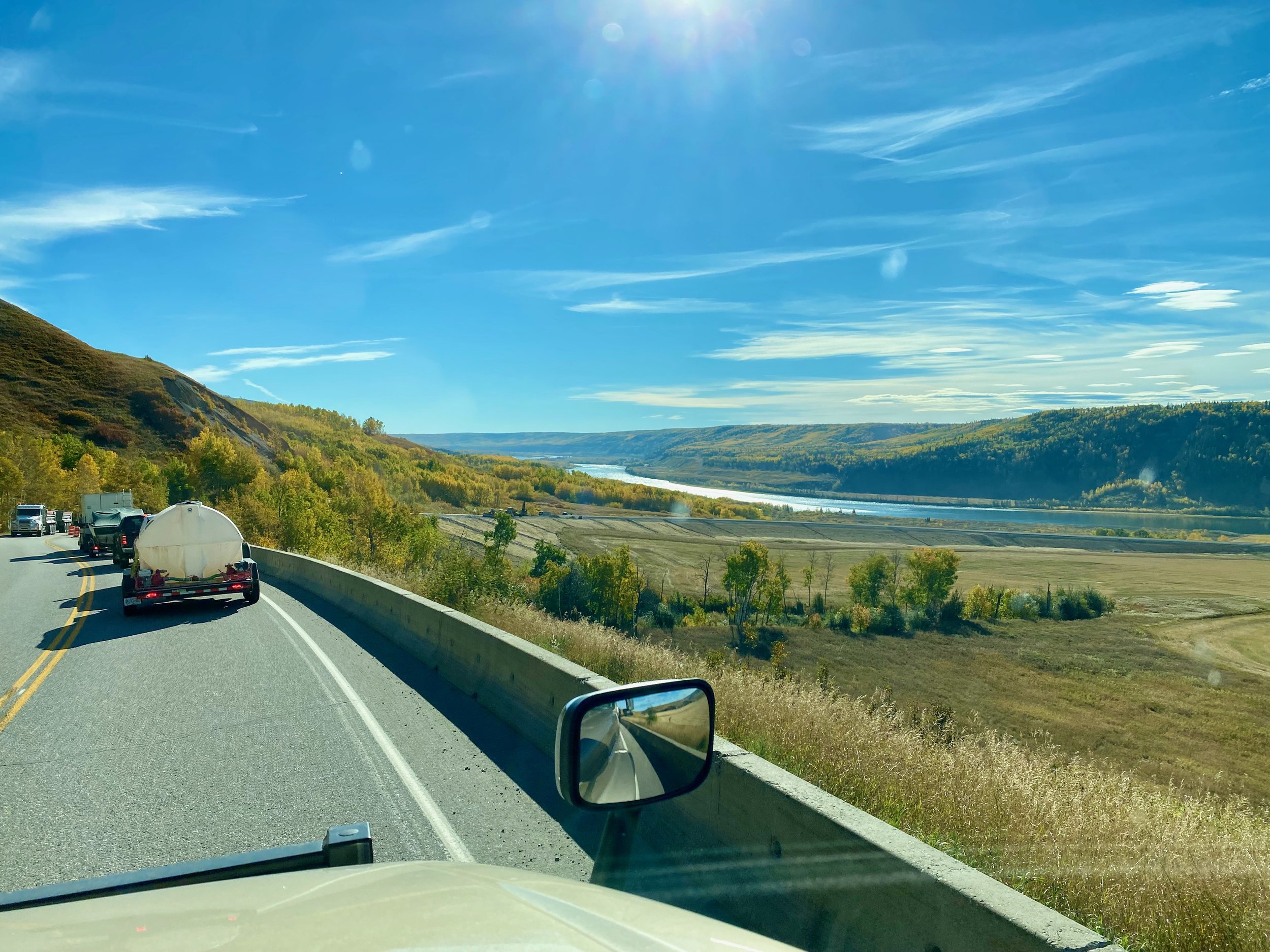
After passing through the parks, and Fort Nelson, we continued south. Eventually we reached the bridge that had been denied to us on our trip north. Now open to vehicles up to 45,000 kilograms, our 20,000 kilogram truck could now pass over the river without concern. But in doing so, we could see why it had been closed, and then open to a much lower weight rating for so long. The bridge had obviously been exposed to a great fire from a tanker truck coming down the steep hill on the opposite side, and hitting the bridge abutment. It crashed and burst into flame. Most of the bridge sides were charred, and there were burnt trees on either side at the south end. It must have been a frightening event for those staying in the RV park on the opposite bank of the river.

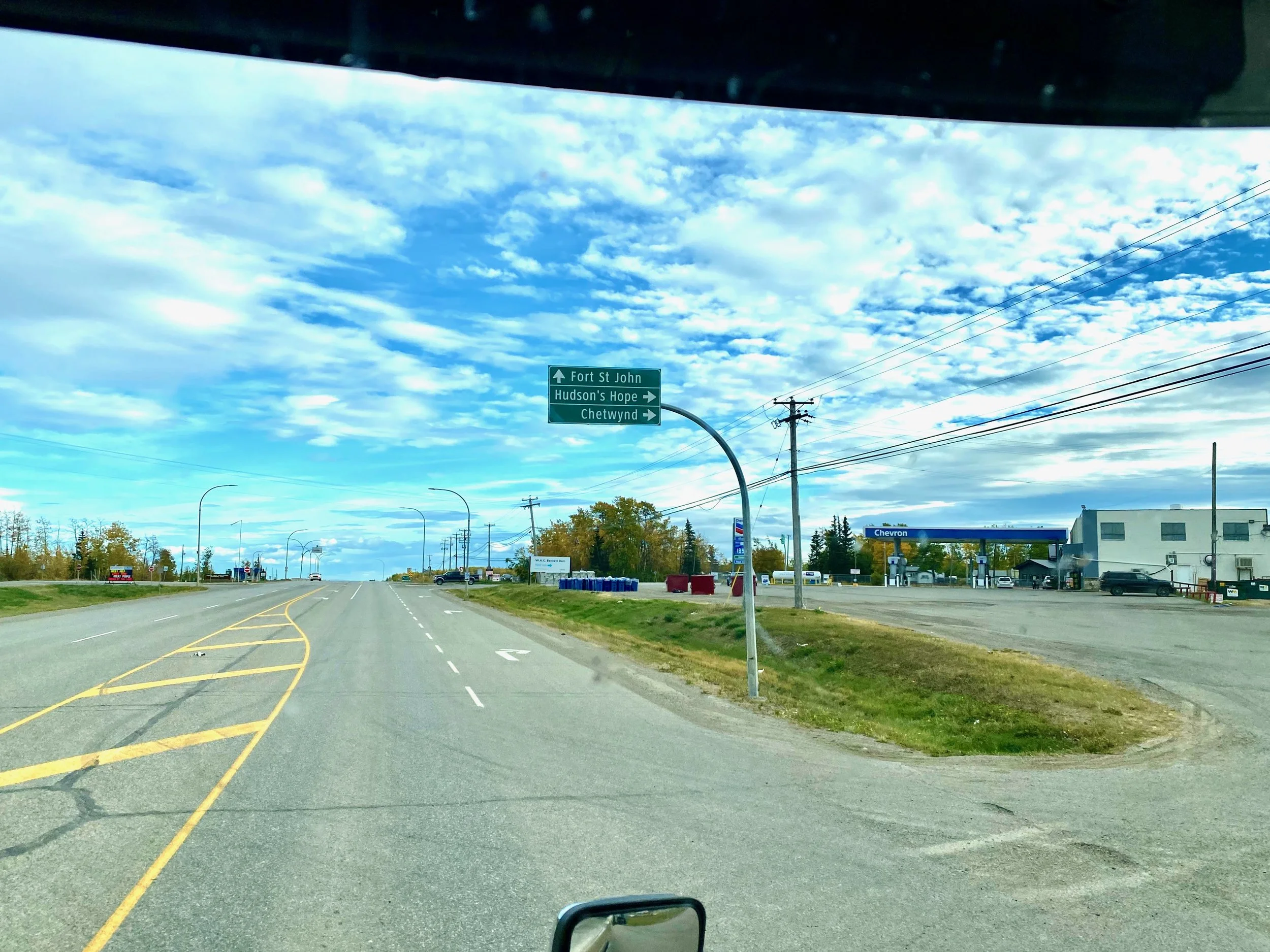
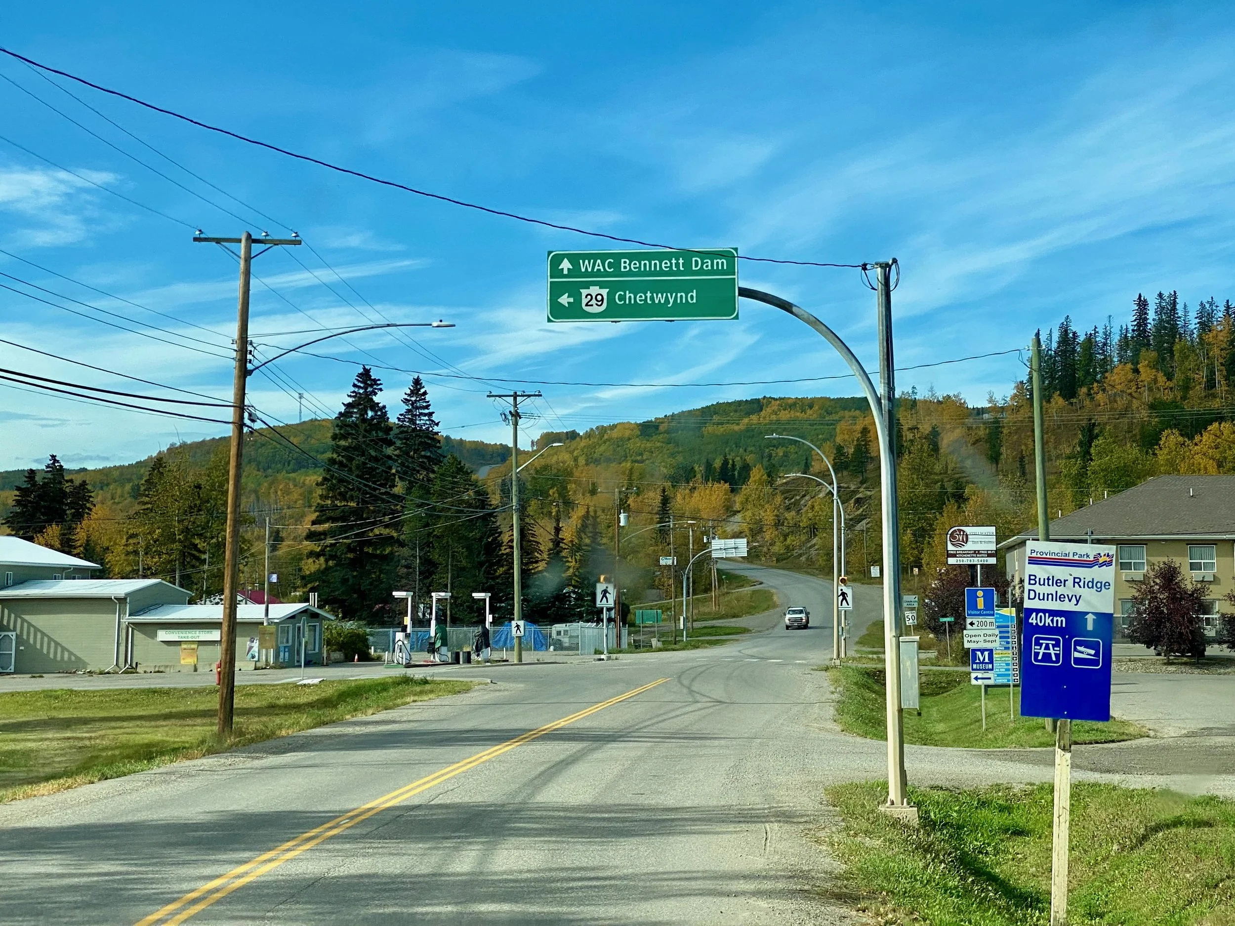
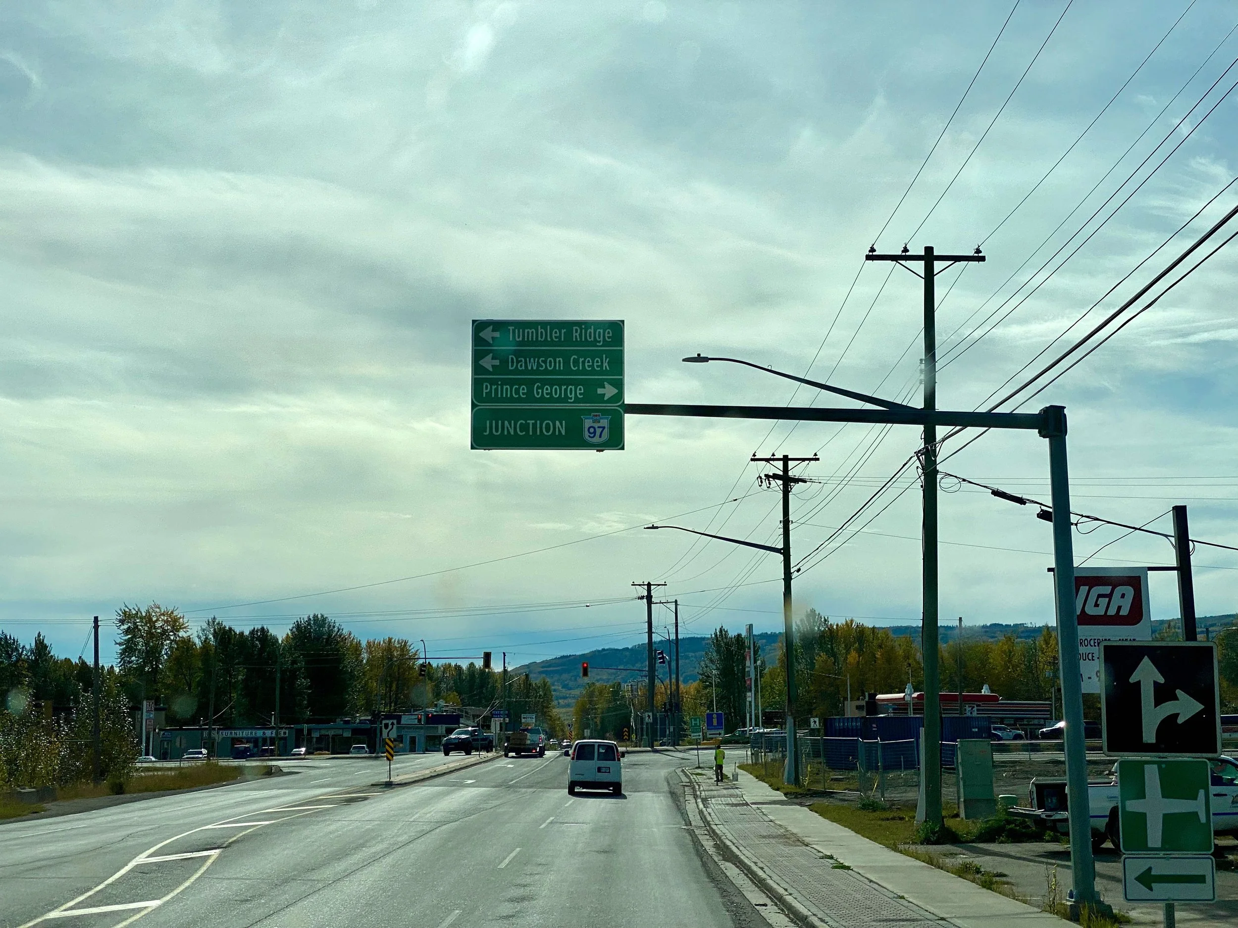
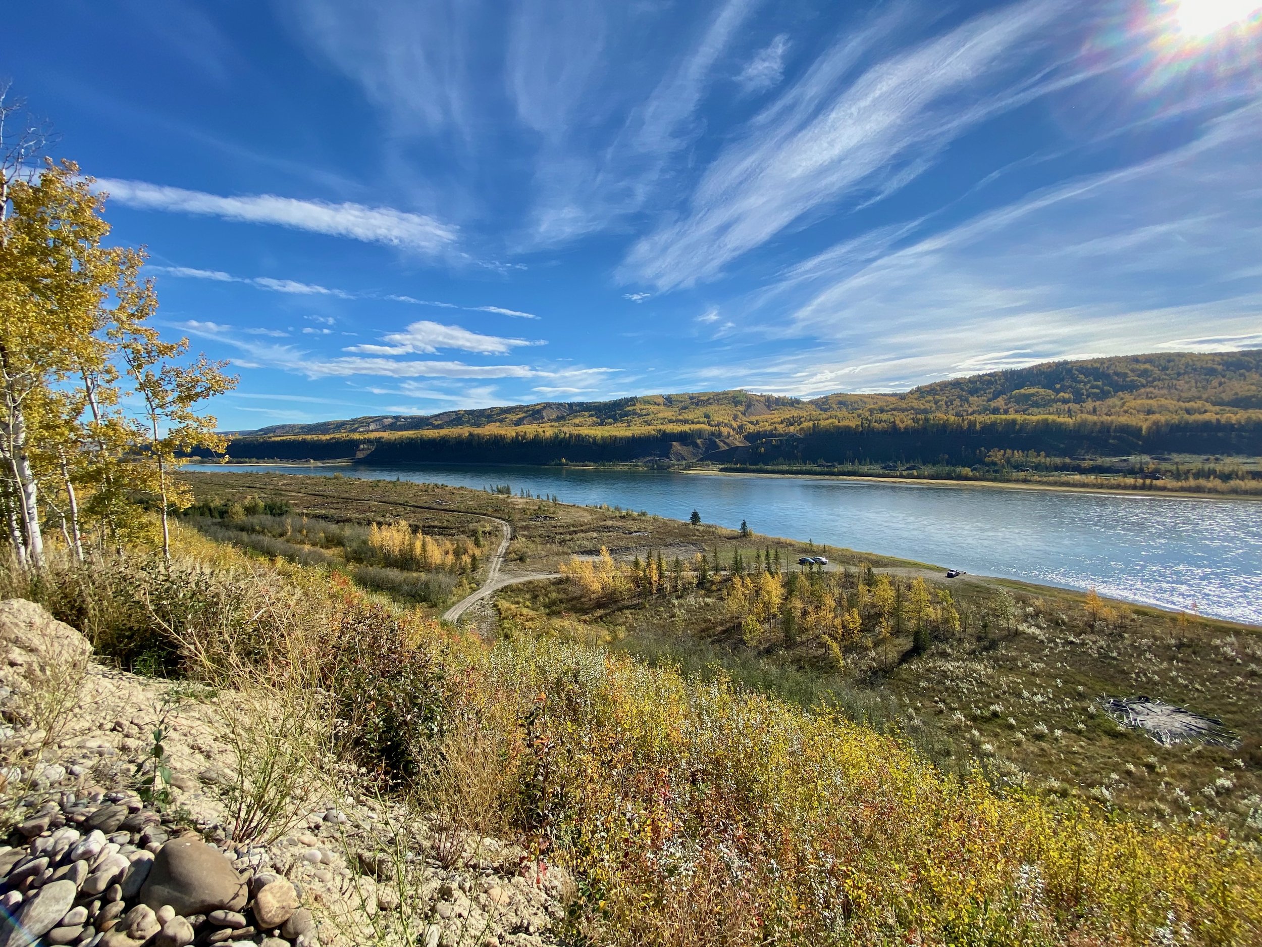
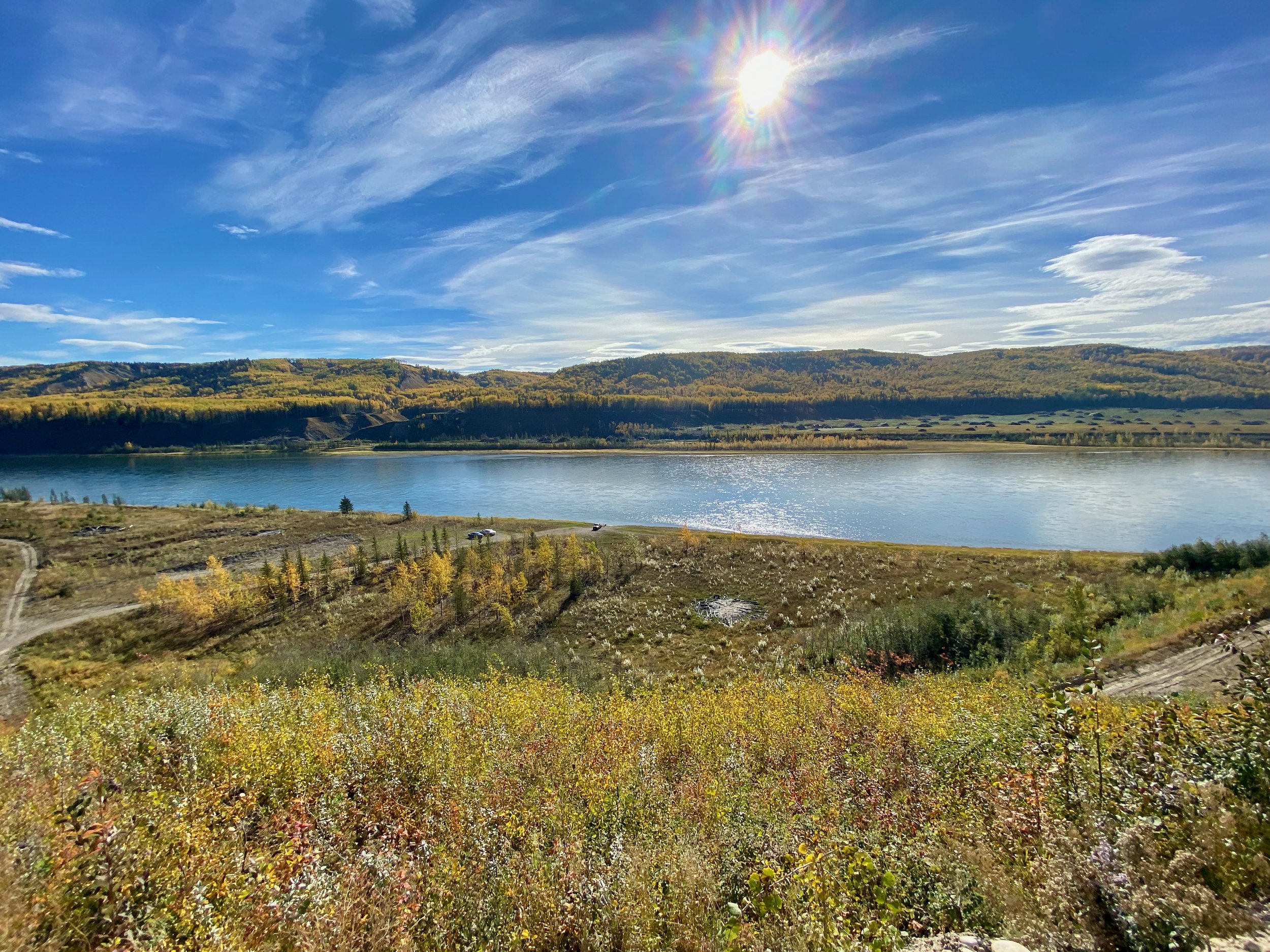
Fort St. John & Peace River Country
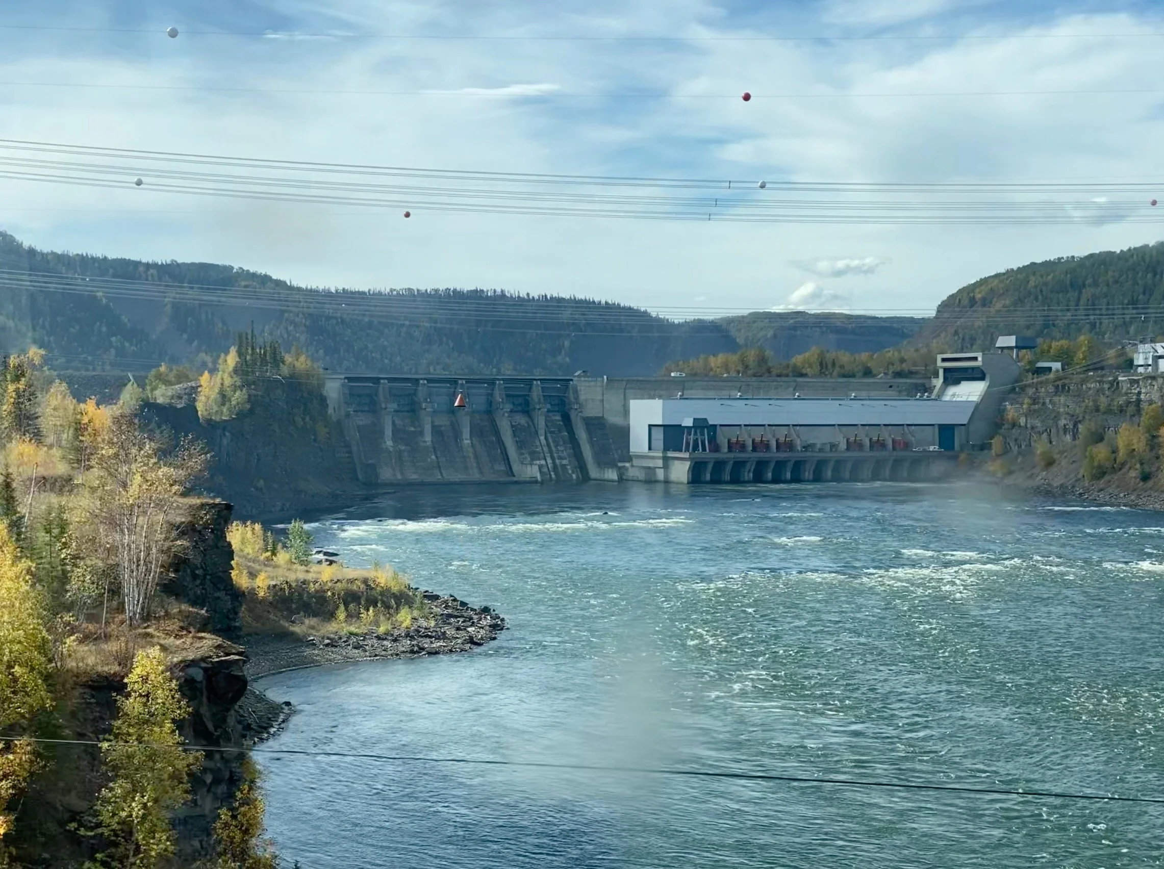
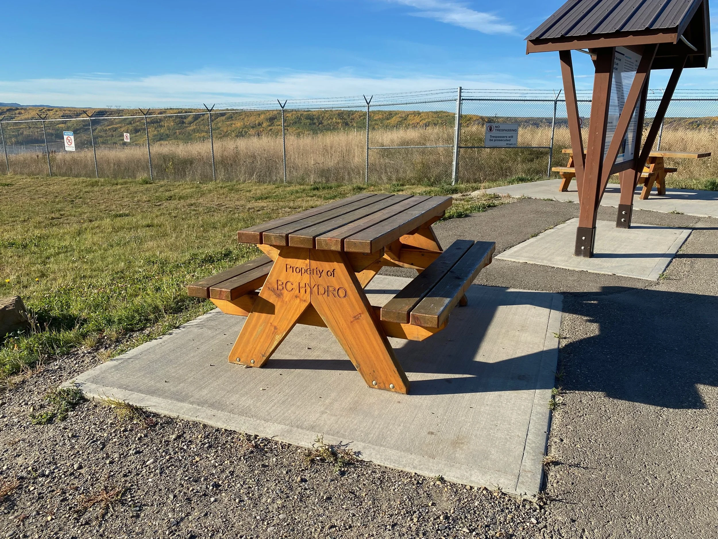
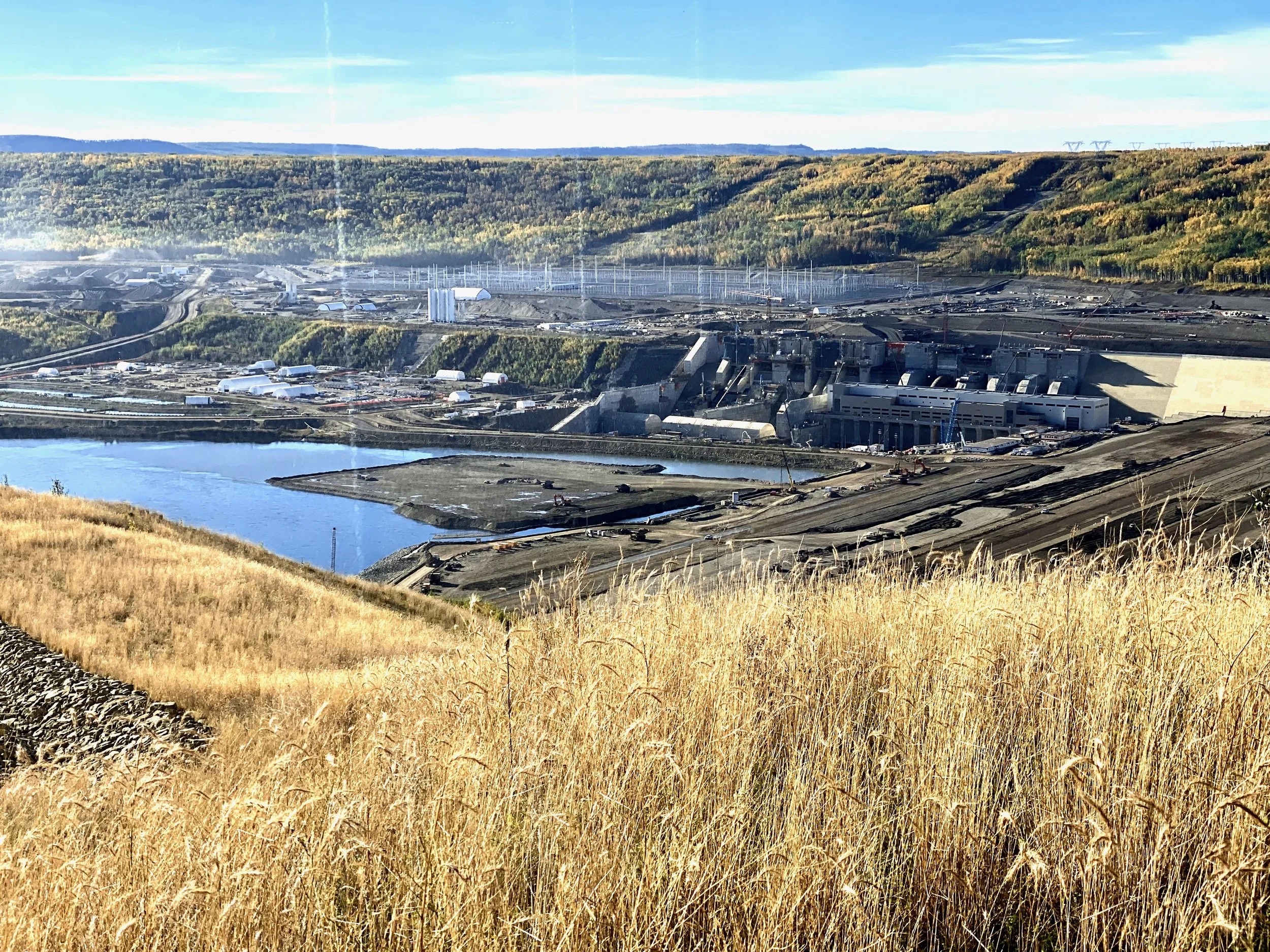
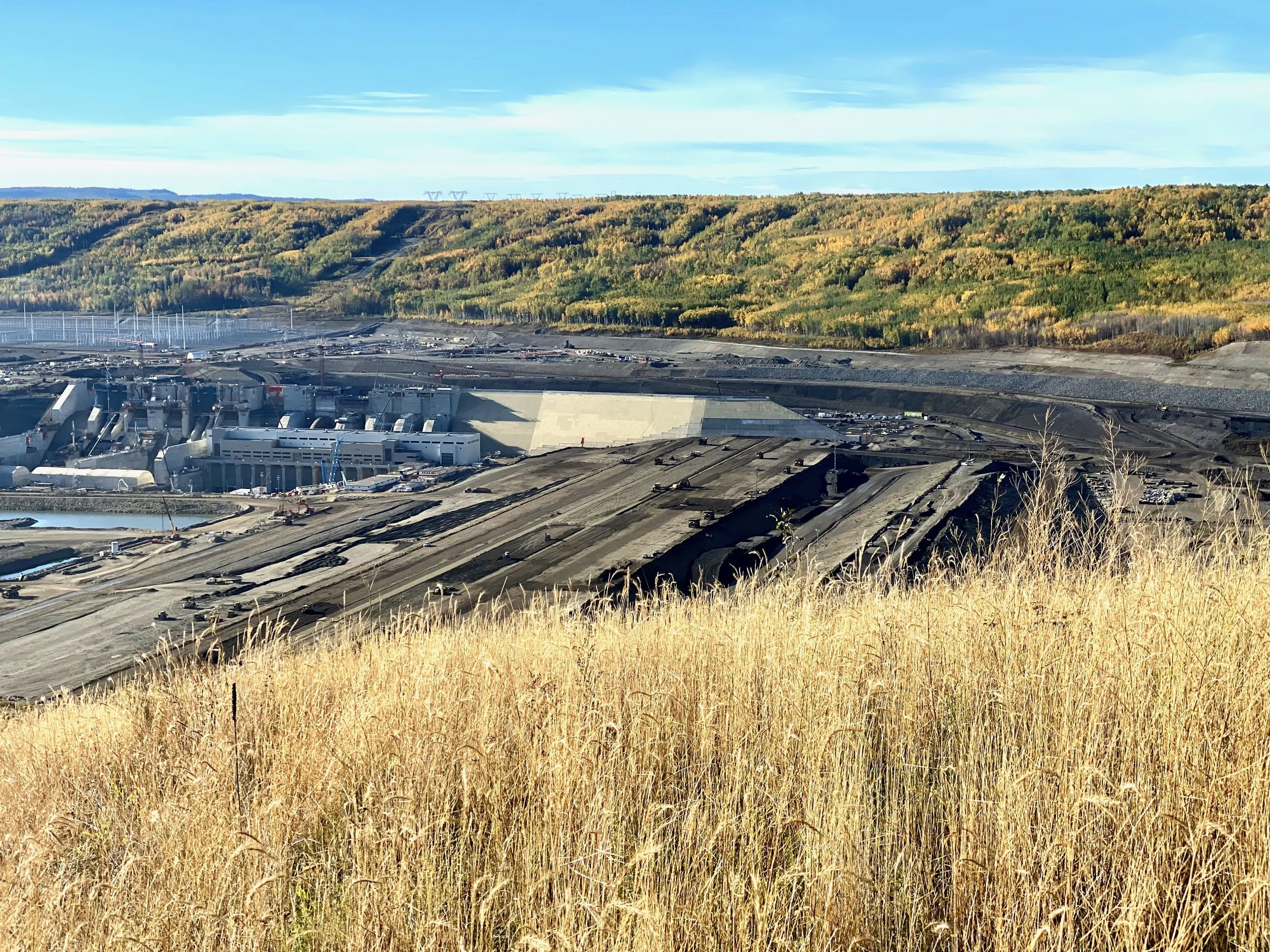
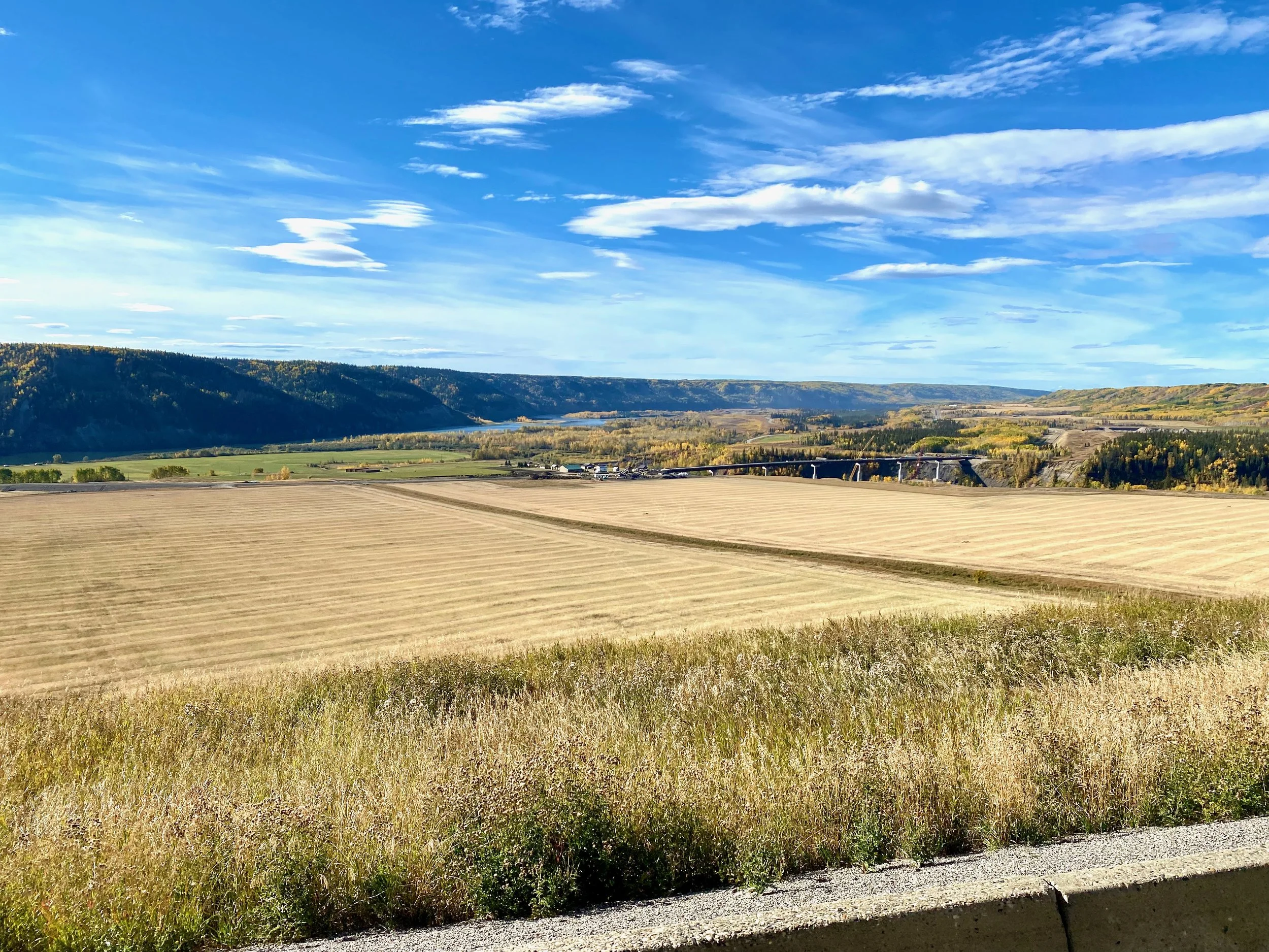
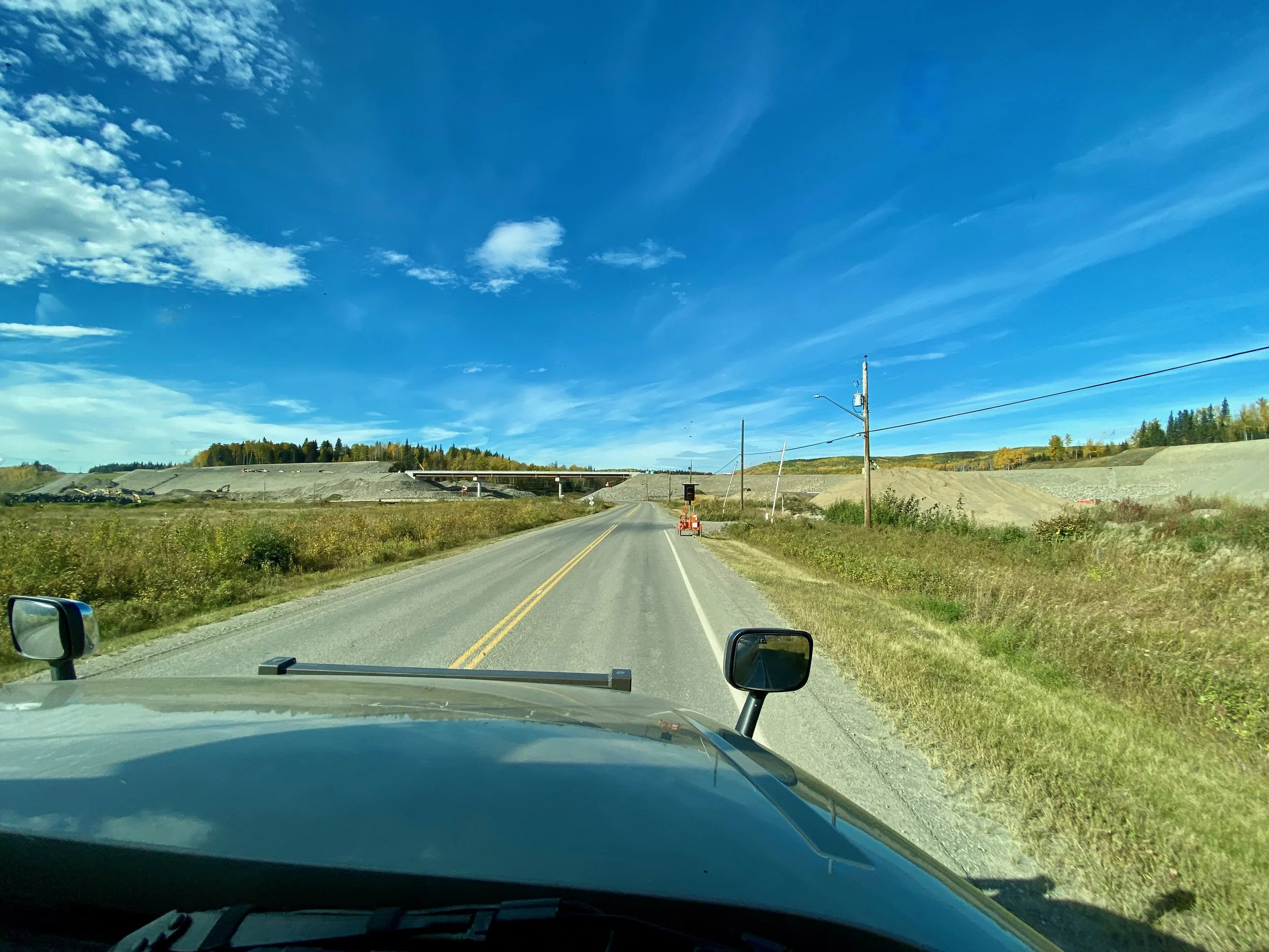
We hadn’t been in Fort St. John since the beginning of March, 2020. We were there heading north to the Yukon when Covid hit and we had to terminate the trip and head home for obvious reasons. We knew our way around here as we’ve been here a number of times, but we were expecting some changes since the last time we were here was before the Site C dam project was really underway. That project brought a lot of jobs to the area, and subsequent development as well. A welcome change since the downturn in the oil industry had stifled the region.
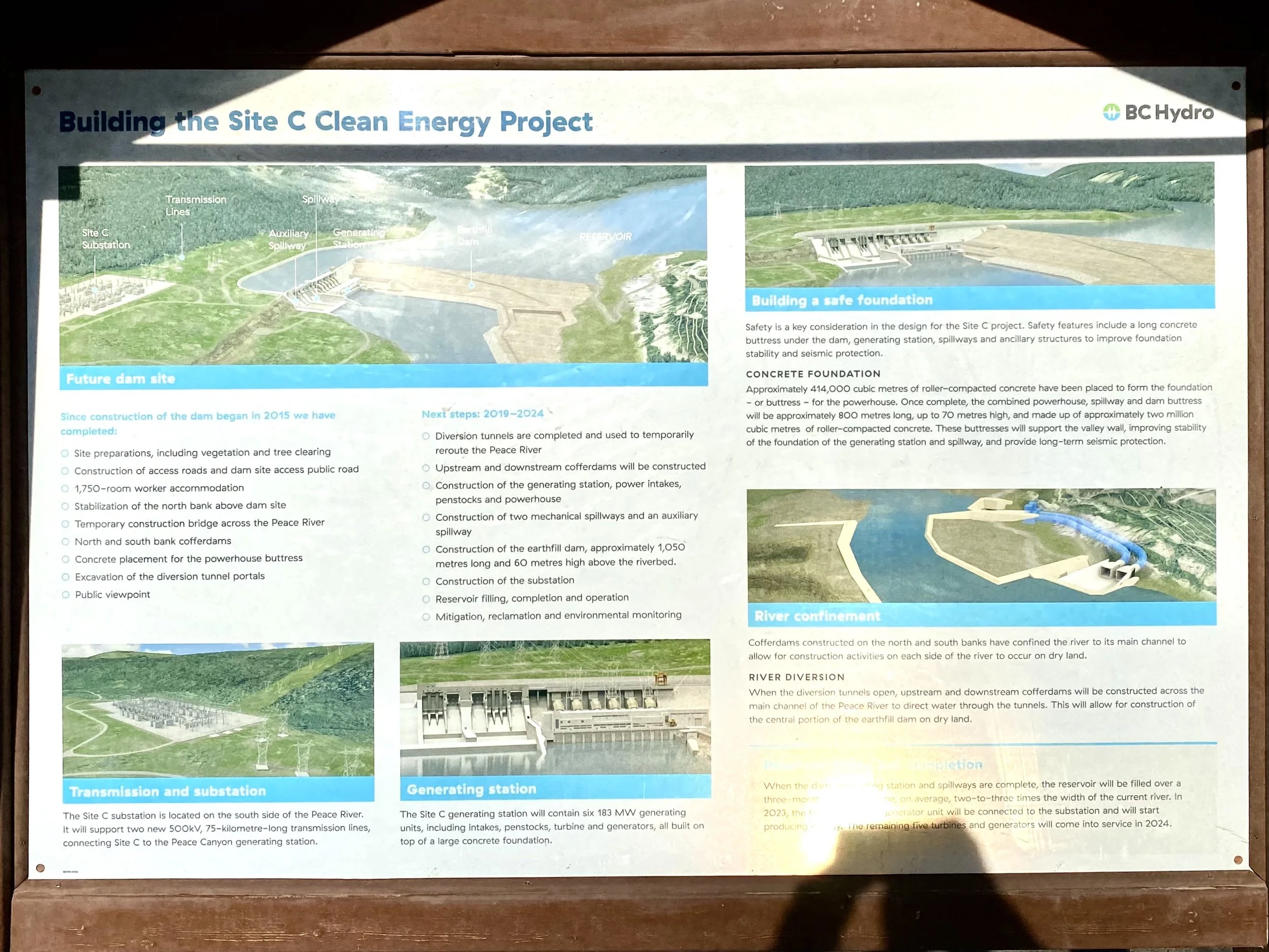
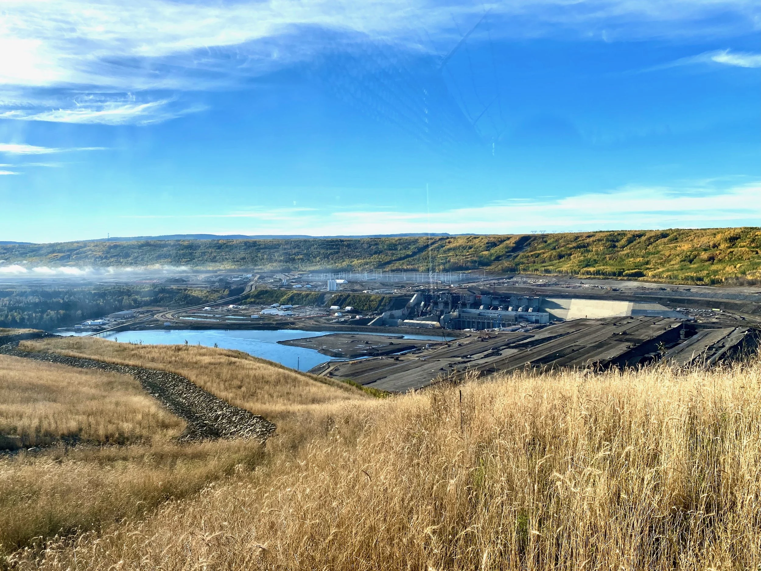
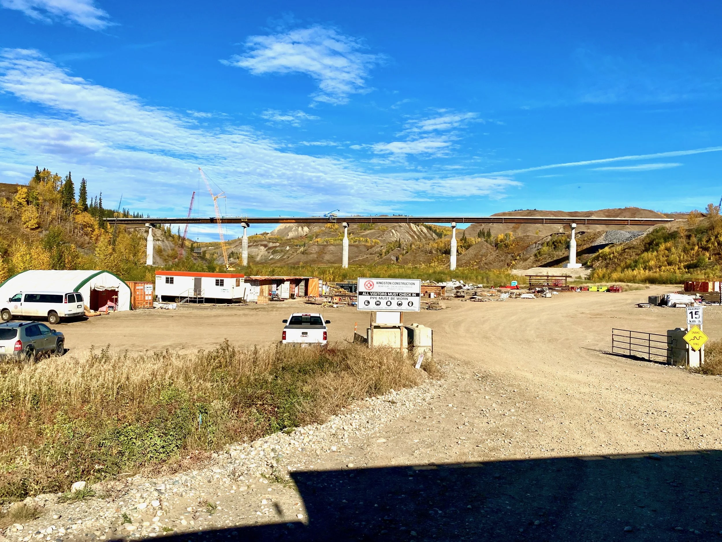
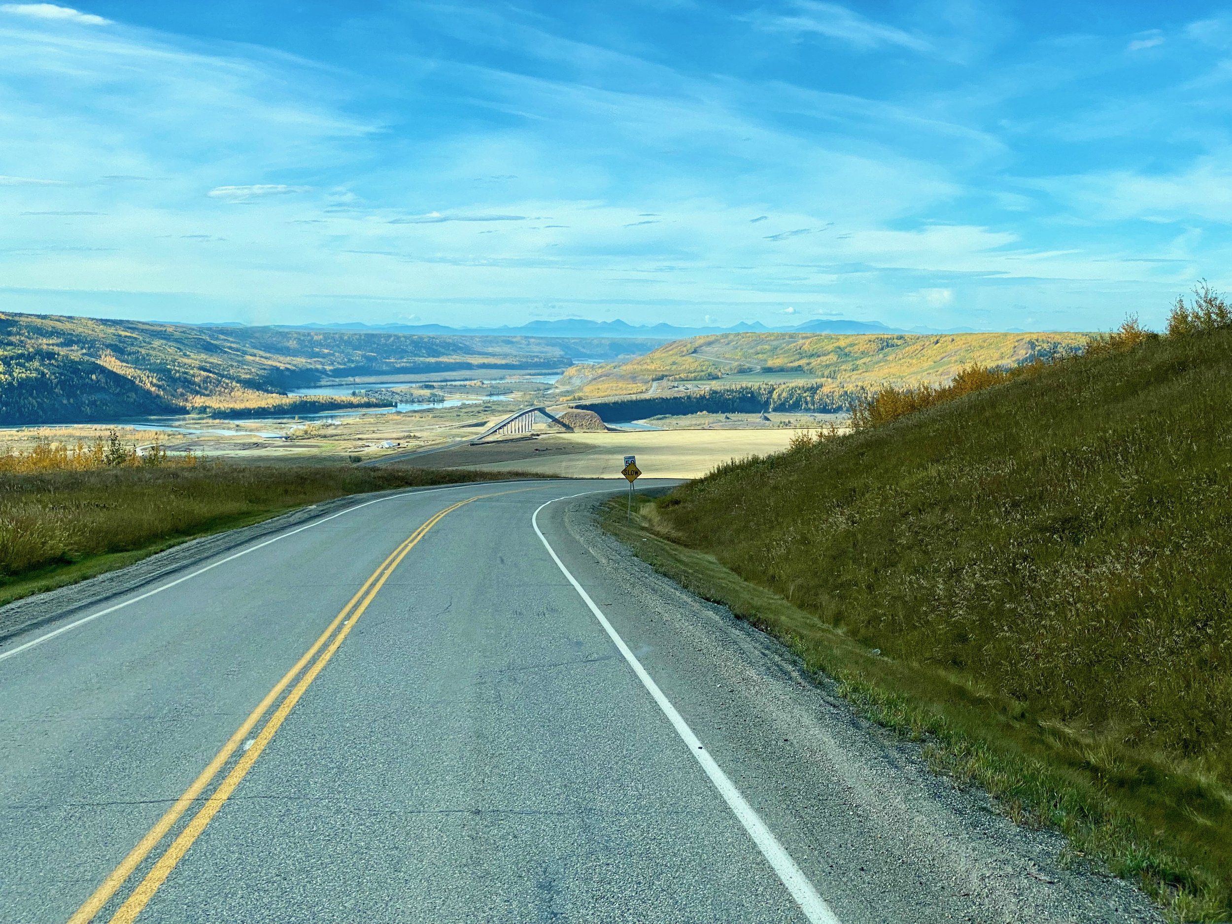
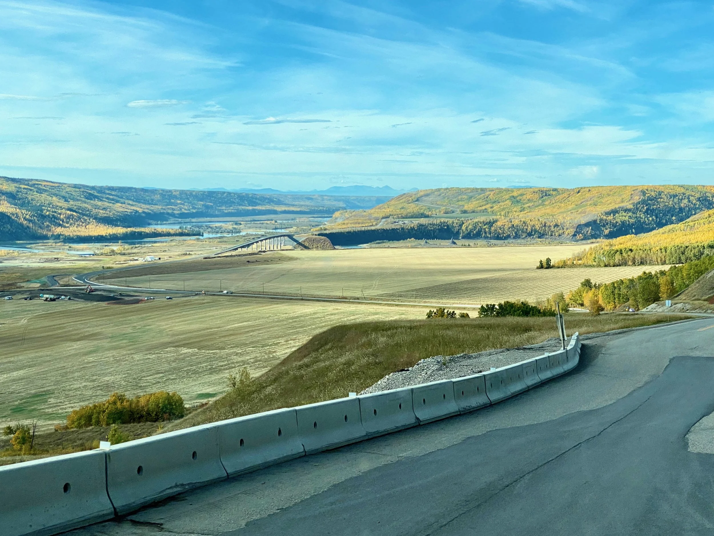
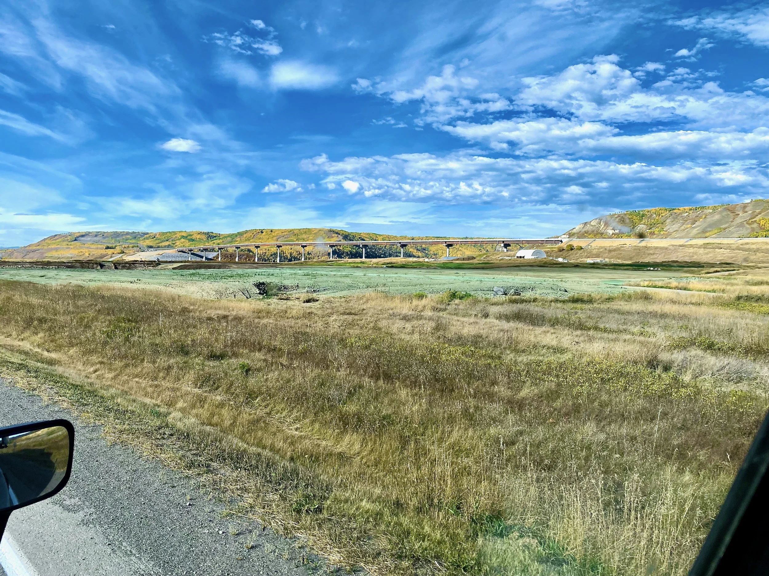
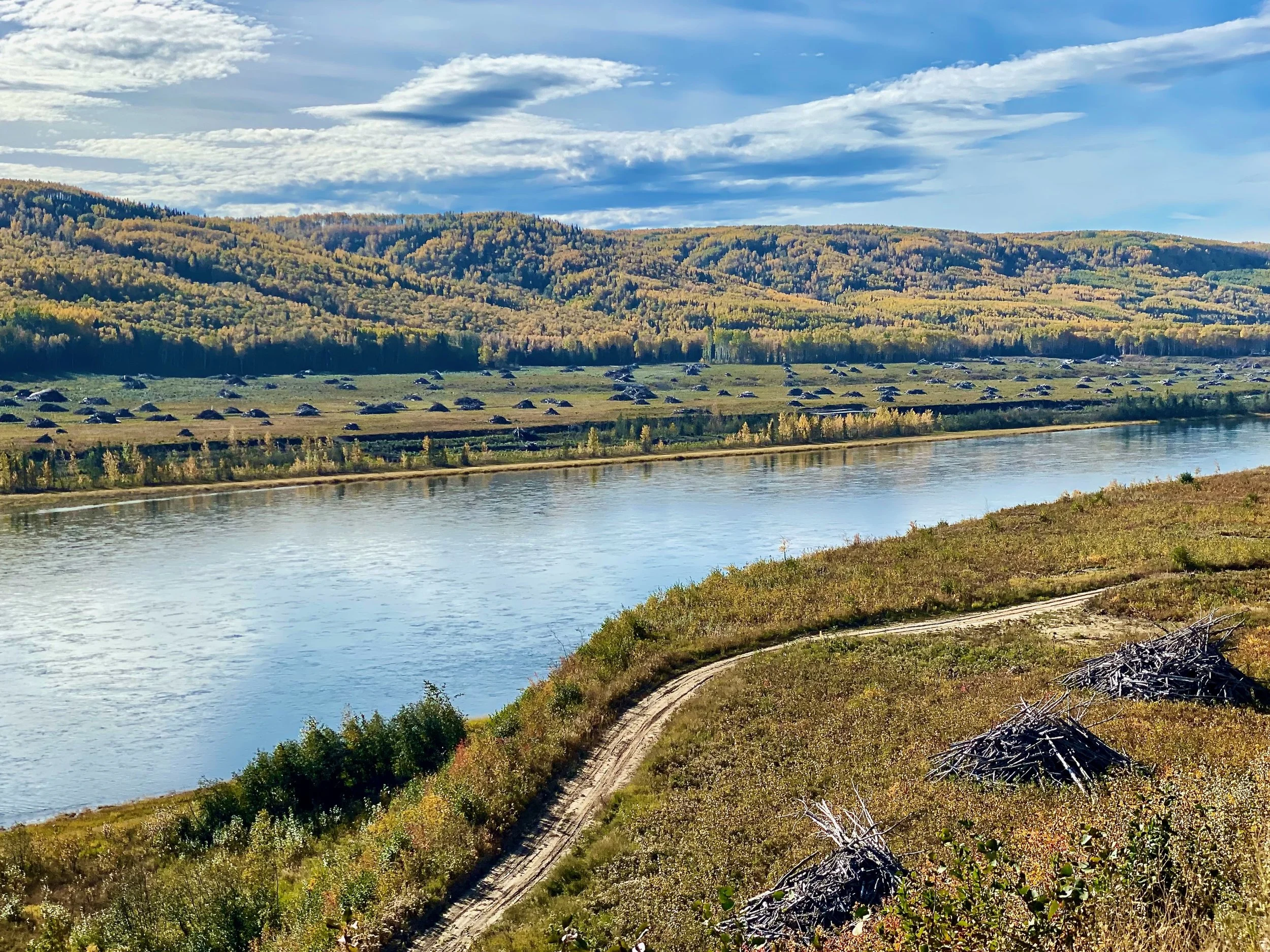
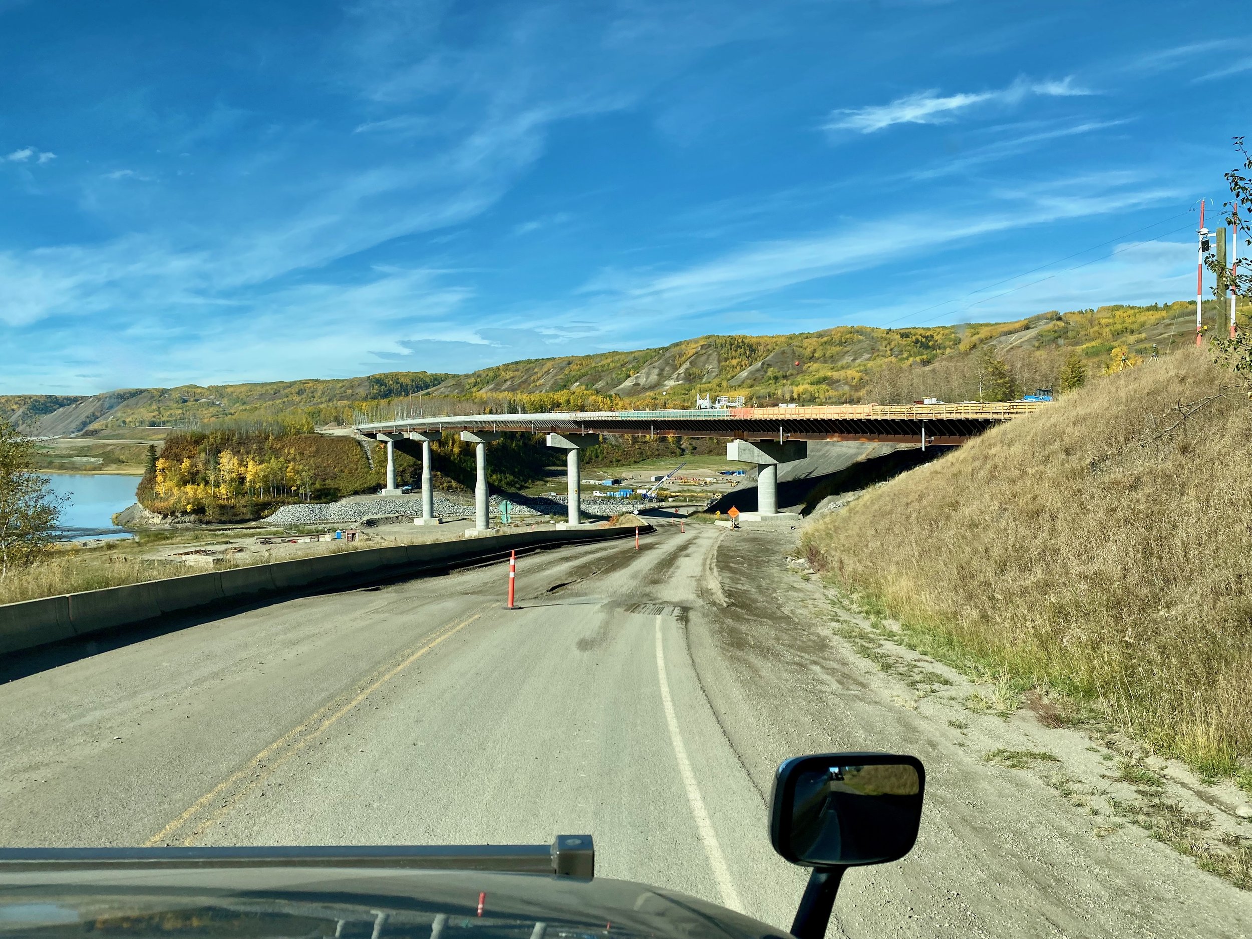
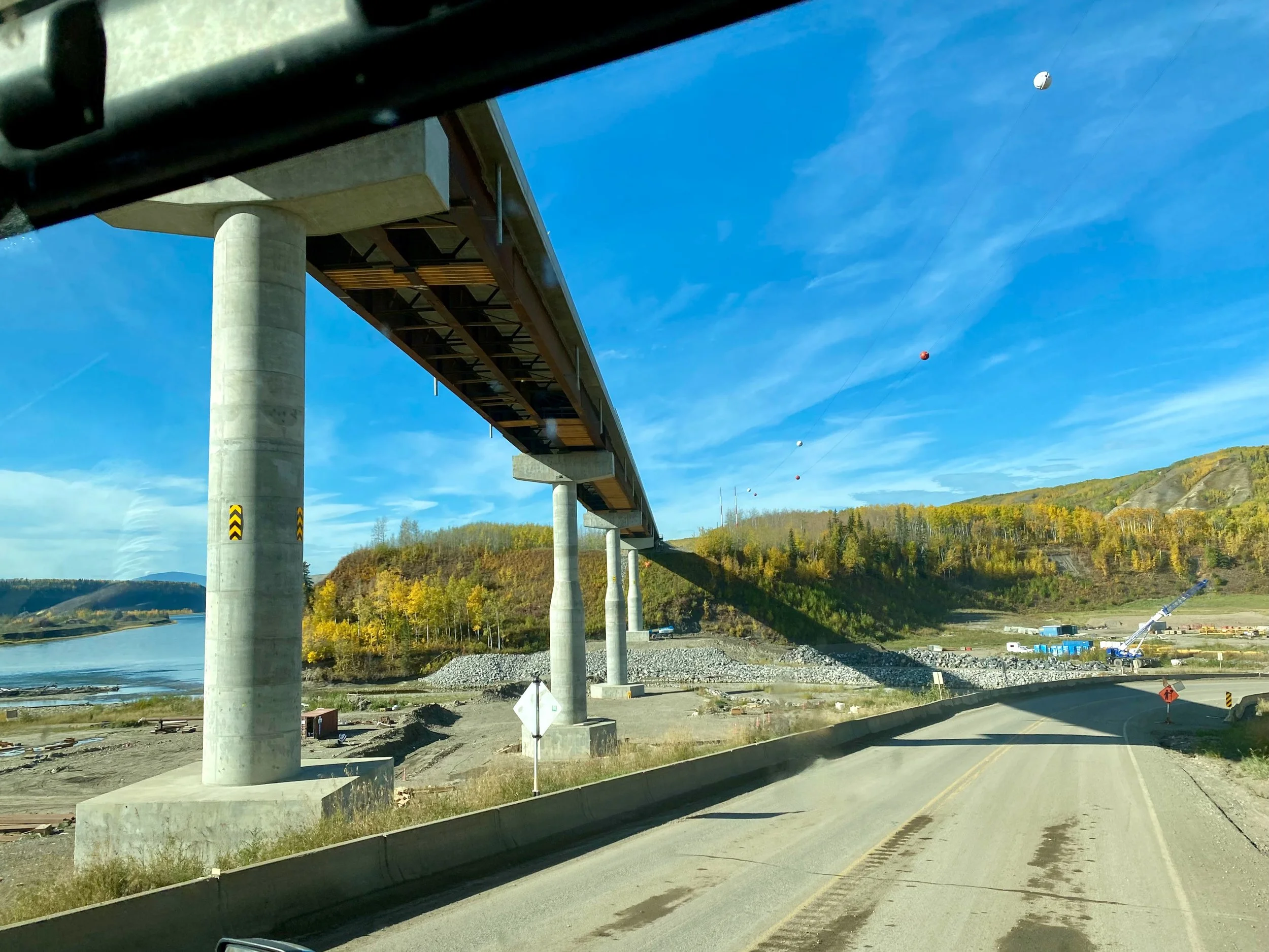
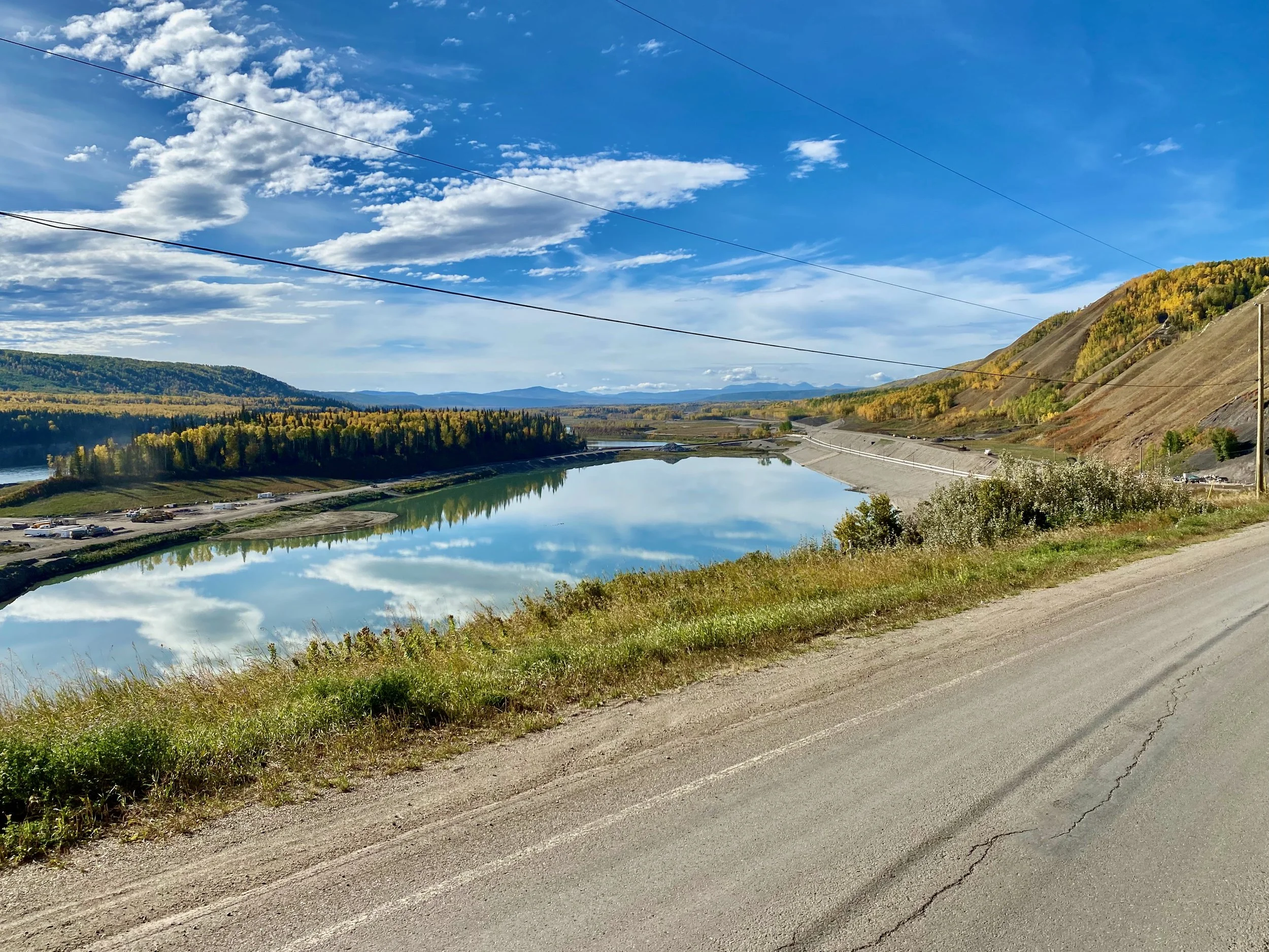
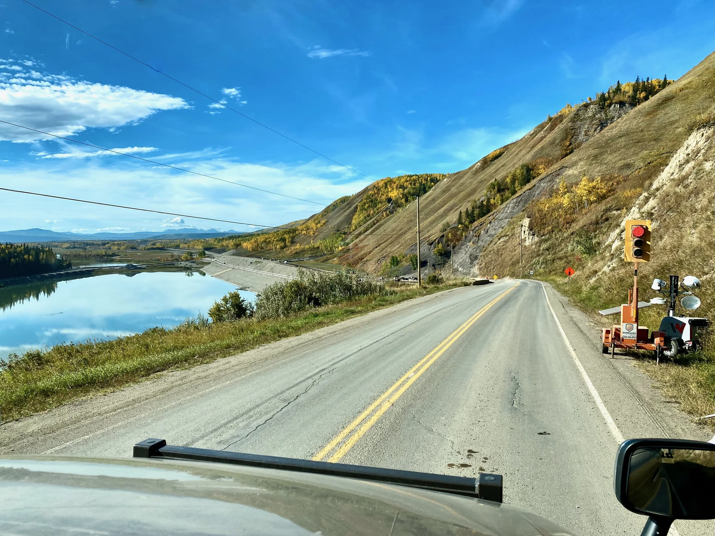
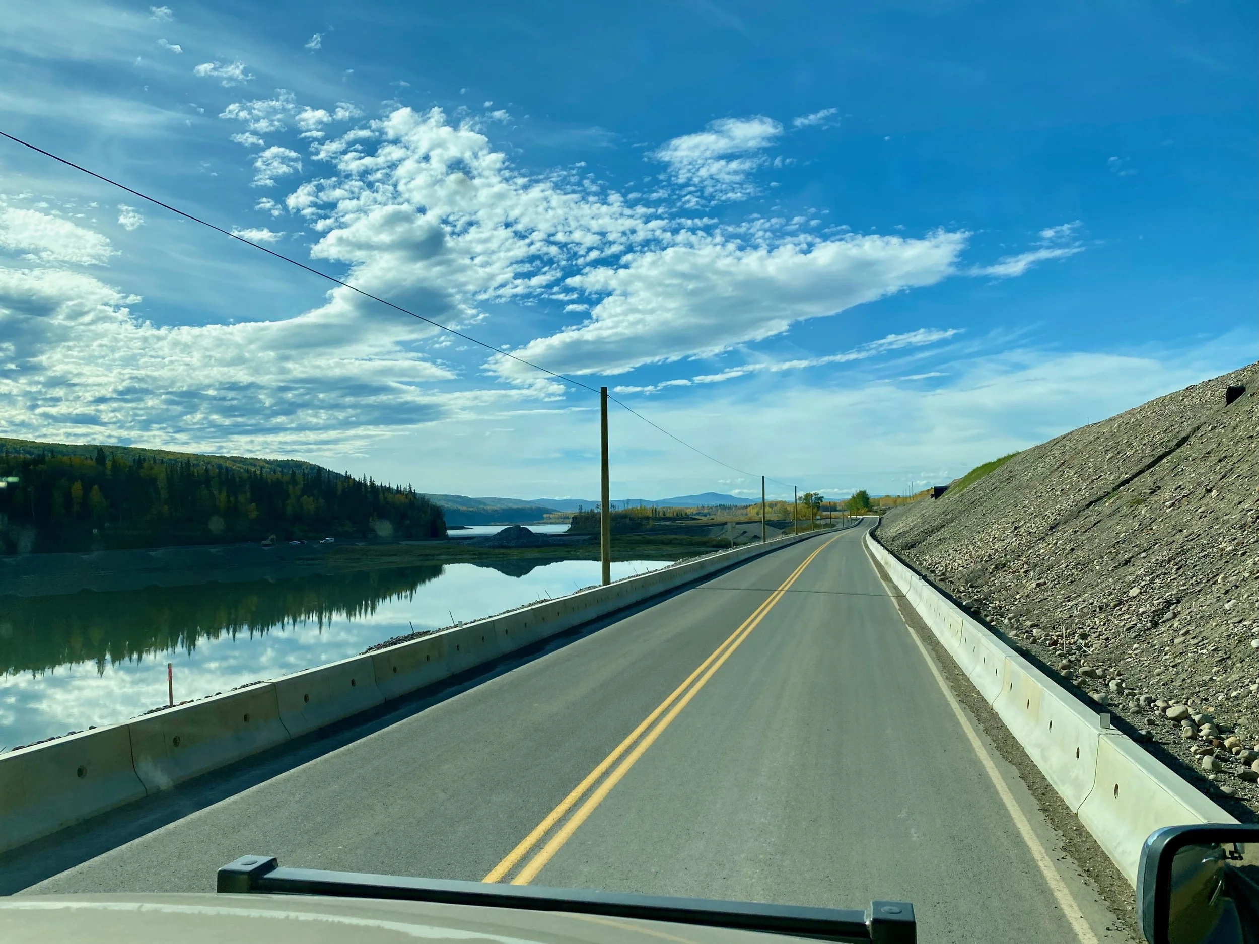
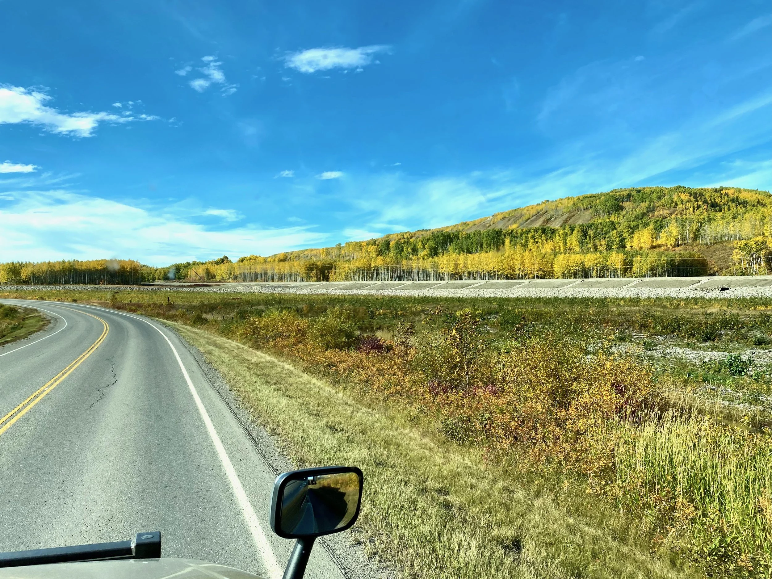
The giant earthen dam which is the centre of the Site C power generation complex.
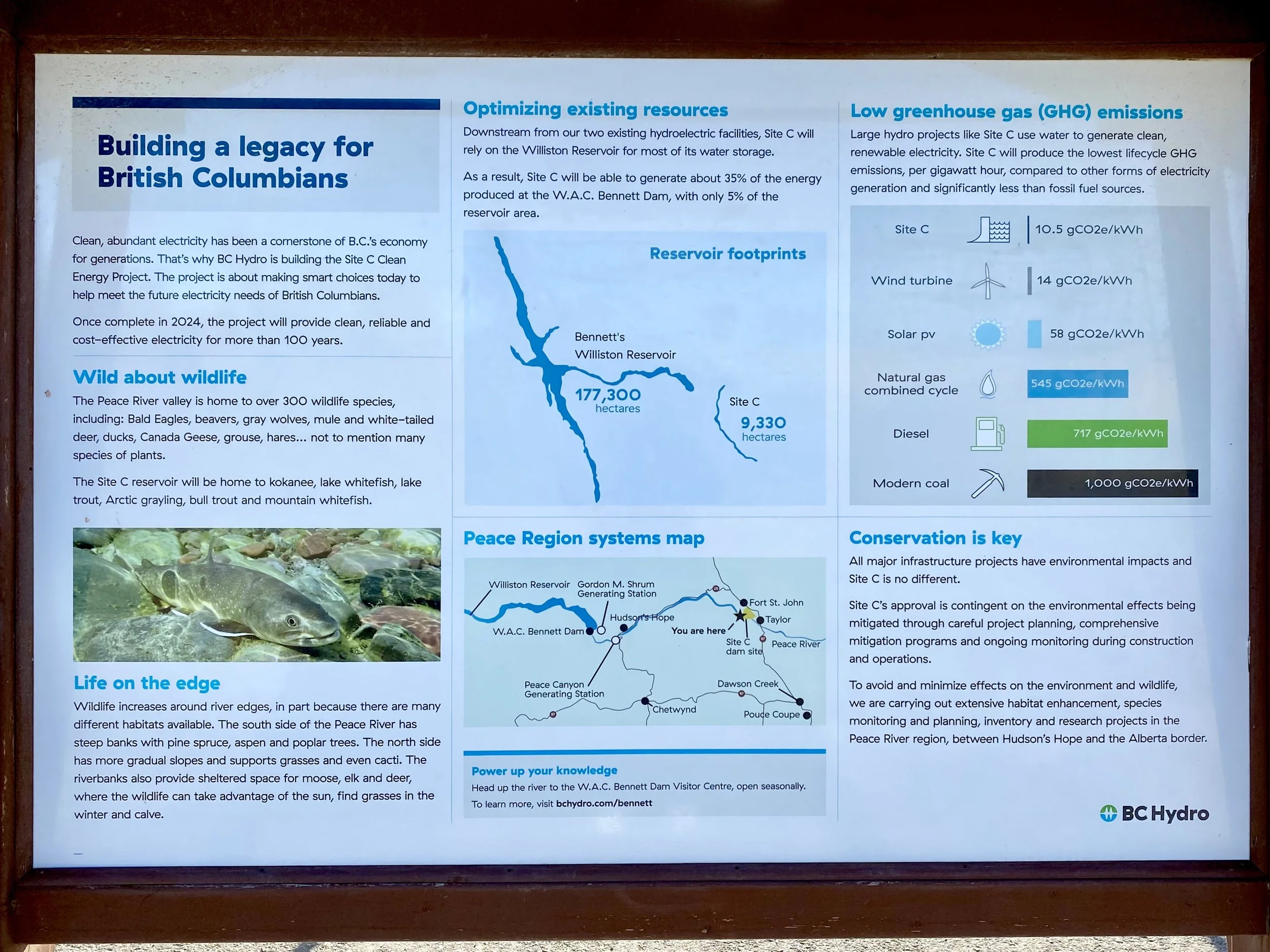
Since we were here in Fort St. John, we wanted to take advantage of that and go and see the massive Site C Dam project that was being built. This is the third major hydroelectric project in this area, and will provide British Columbia with the needed power to take the province way into the future where massive amounts of clean electrical energy will be needed. To do this though, the Peace River valley upstream will have to be flooded to create the reservoir, much like Lake Powell and Lake Mead in the western United States. It’s controversial because of the flooding, but it will provide clean energy. Really, it’s the only viable type of clean energy at these northern latitudes.
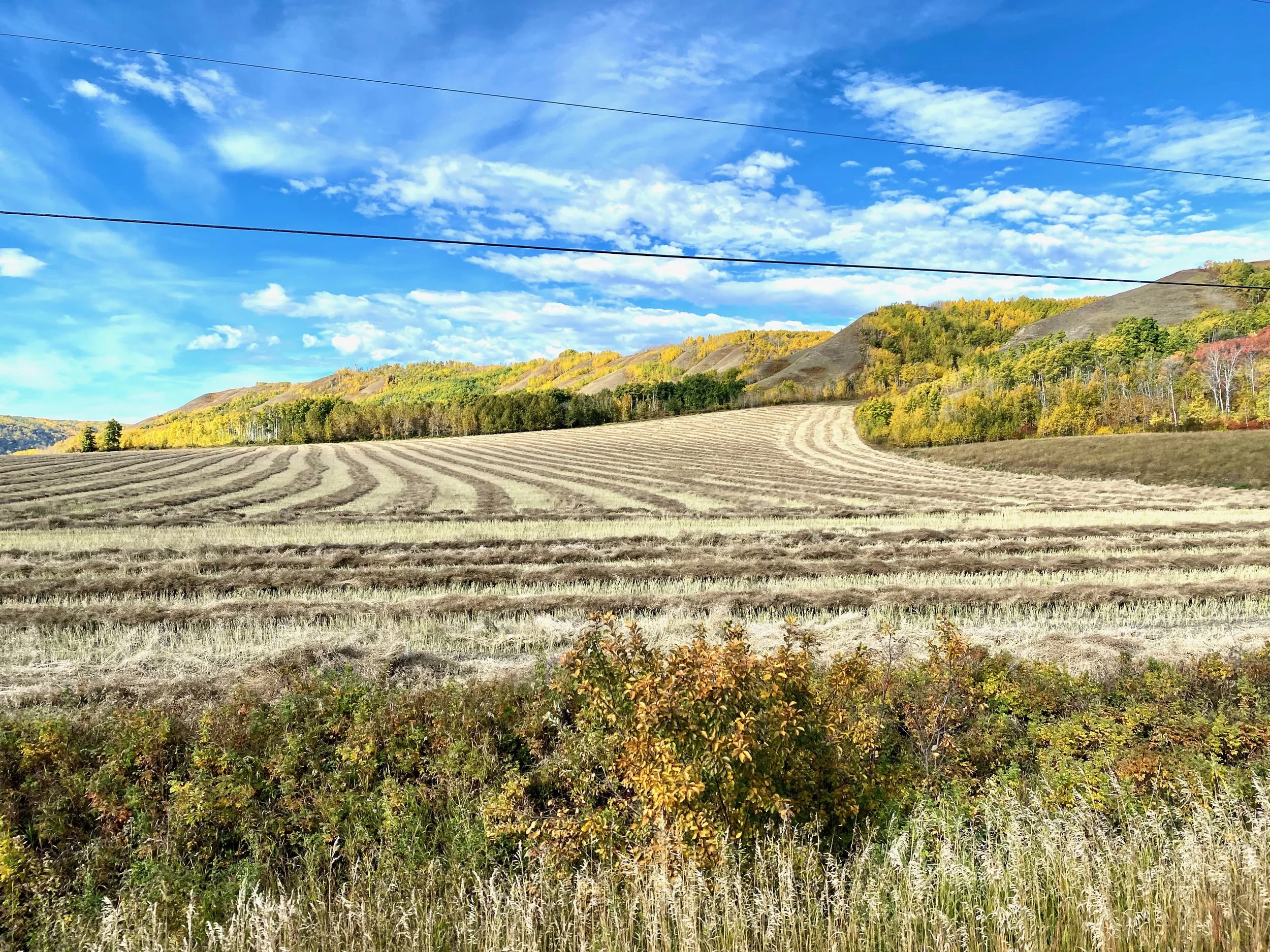

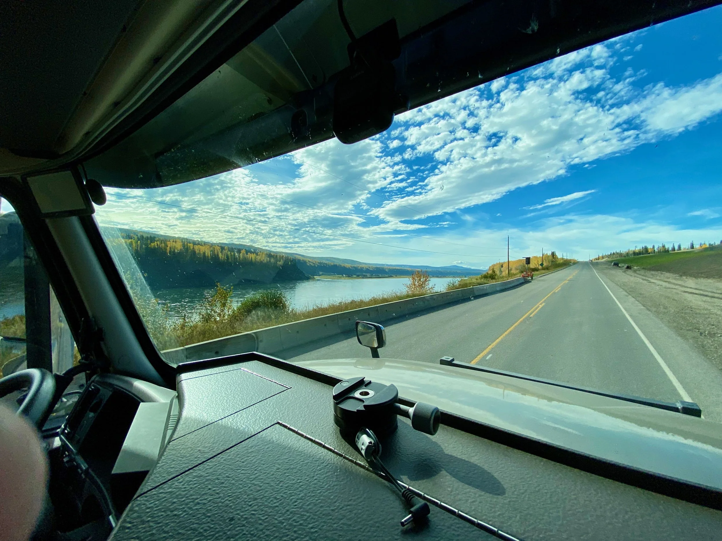
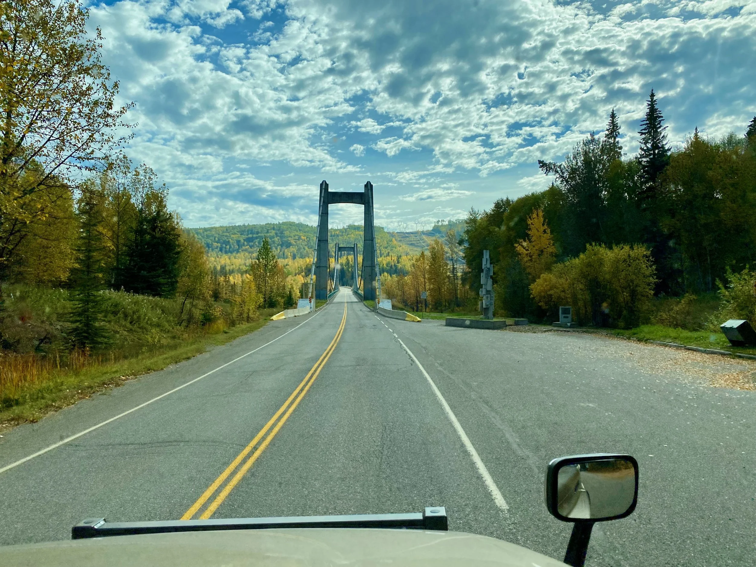
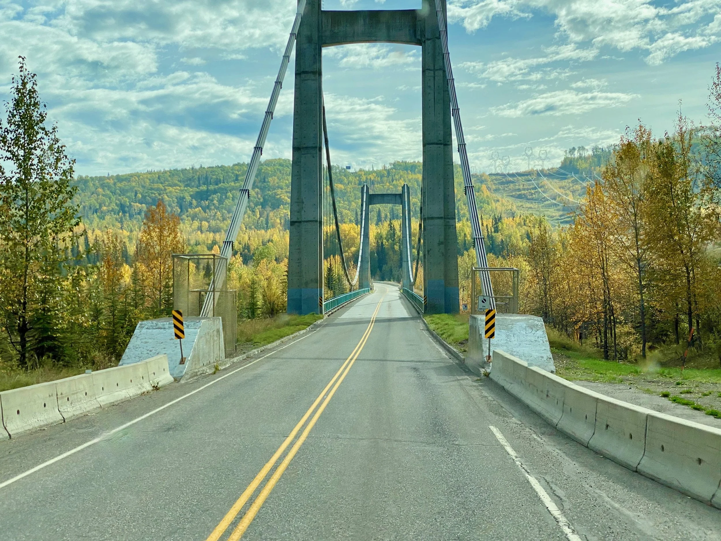
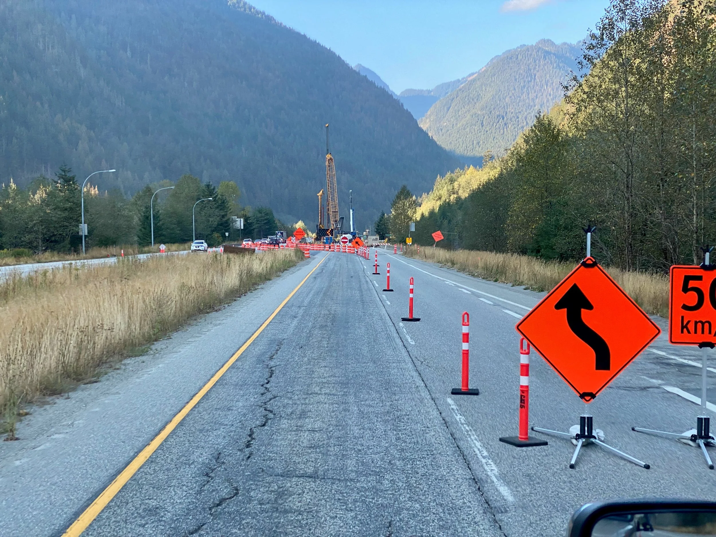
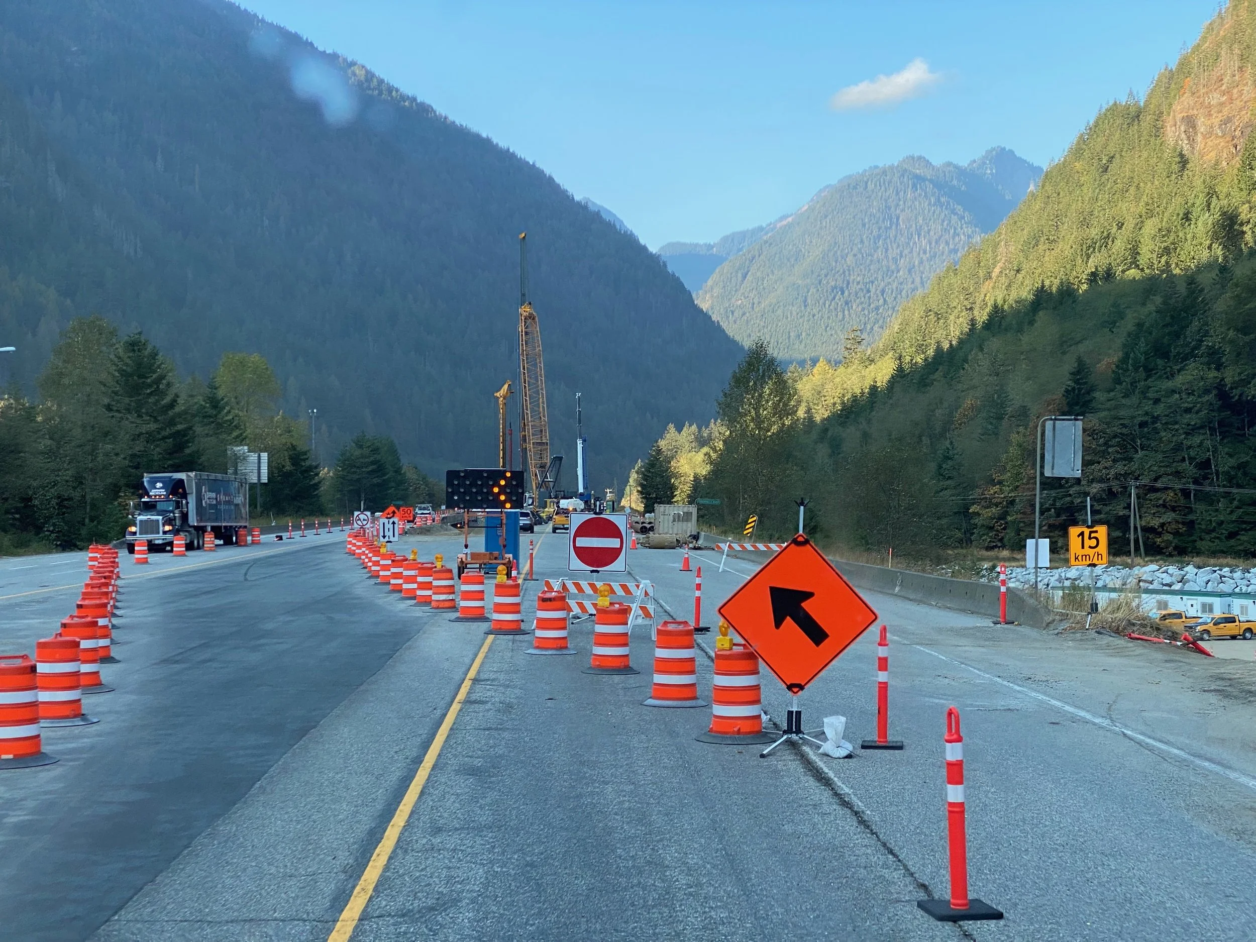
From the Peace Country to the Pacific Coast


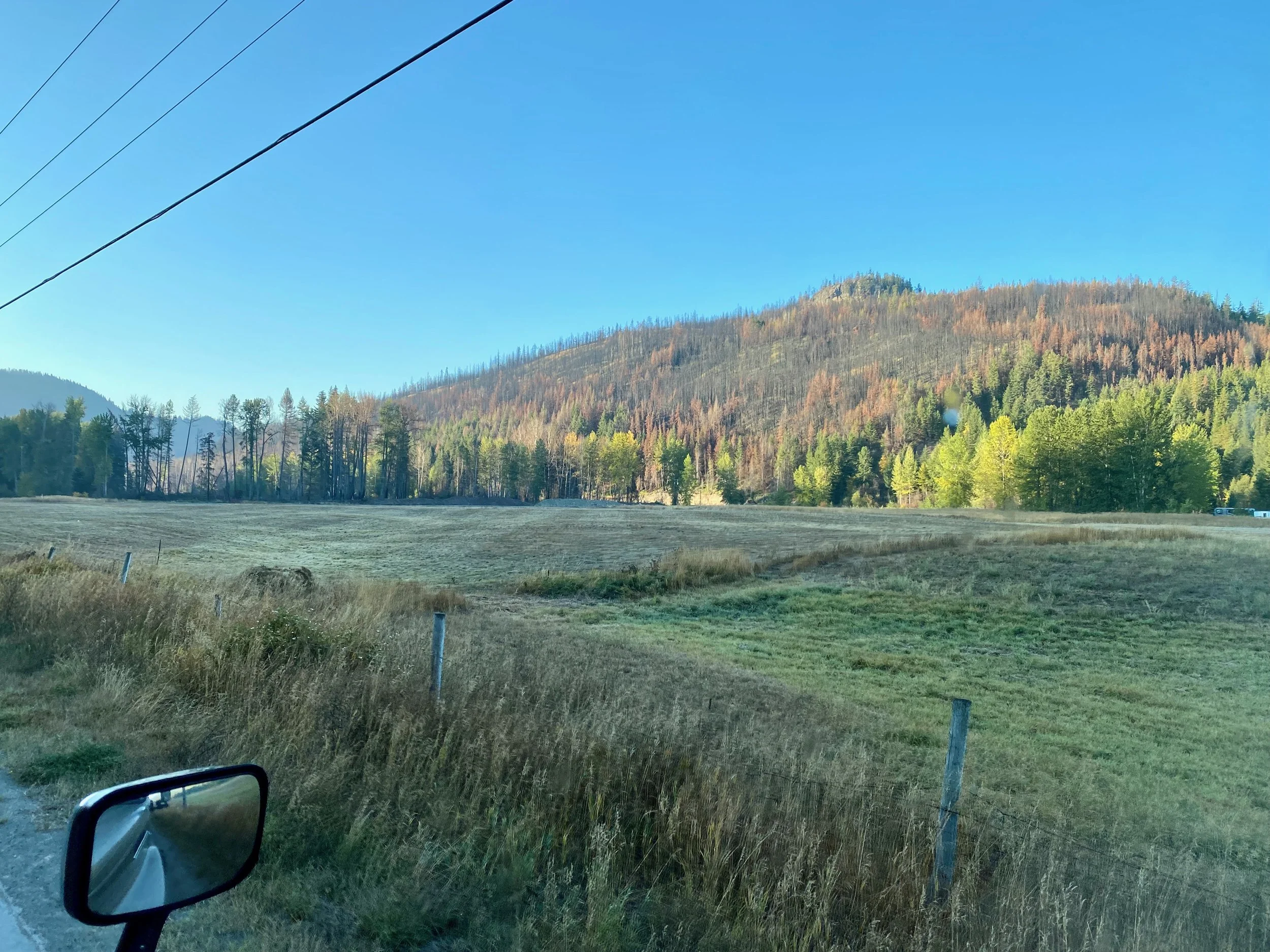
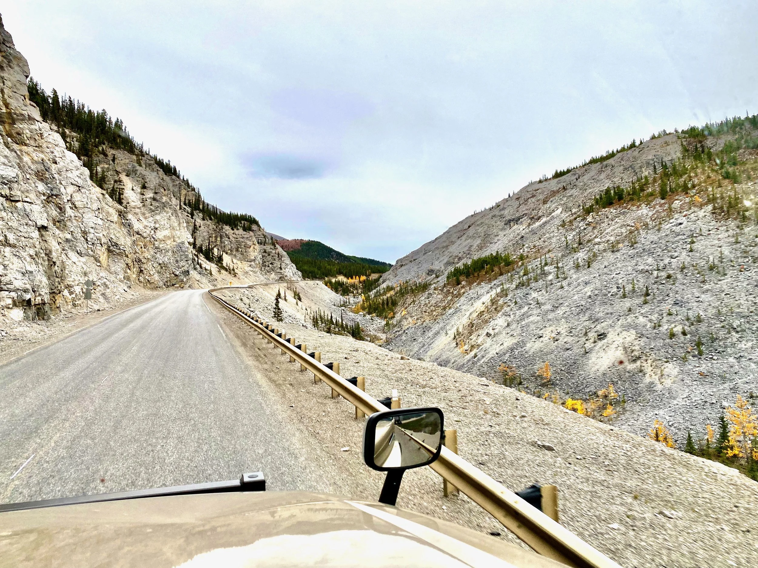
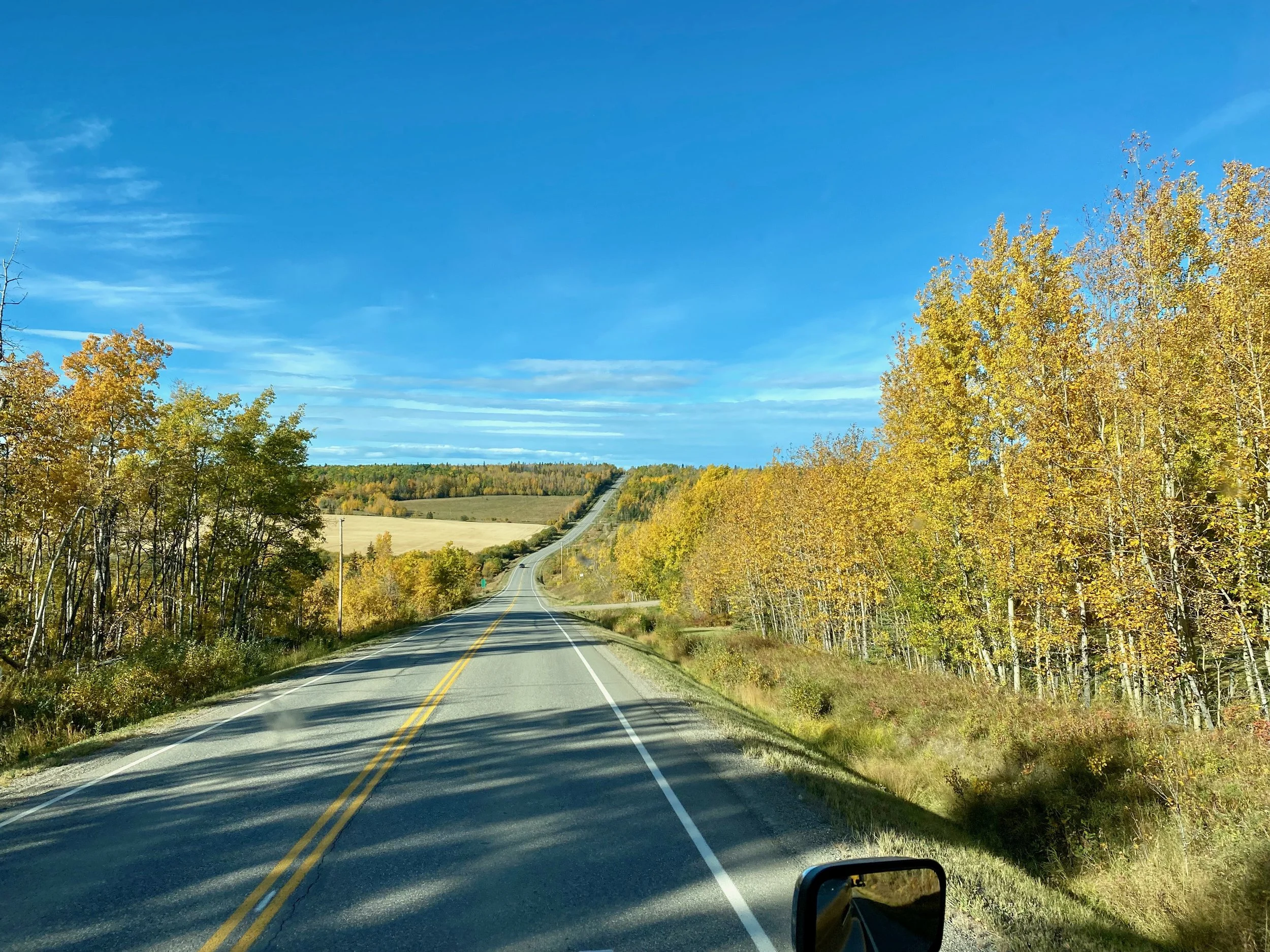
By the time one reaches Hudson’s Hope, the countryside starts changing. Moving further away from the Peace River region heading south west, there’s more mountains and river valleys to travel through.
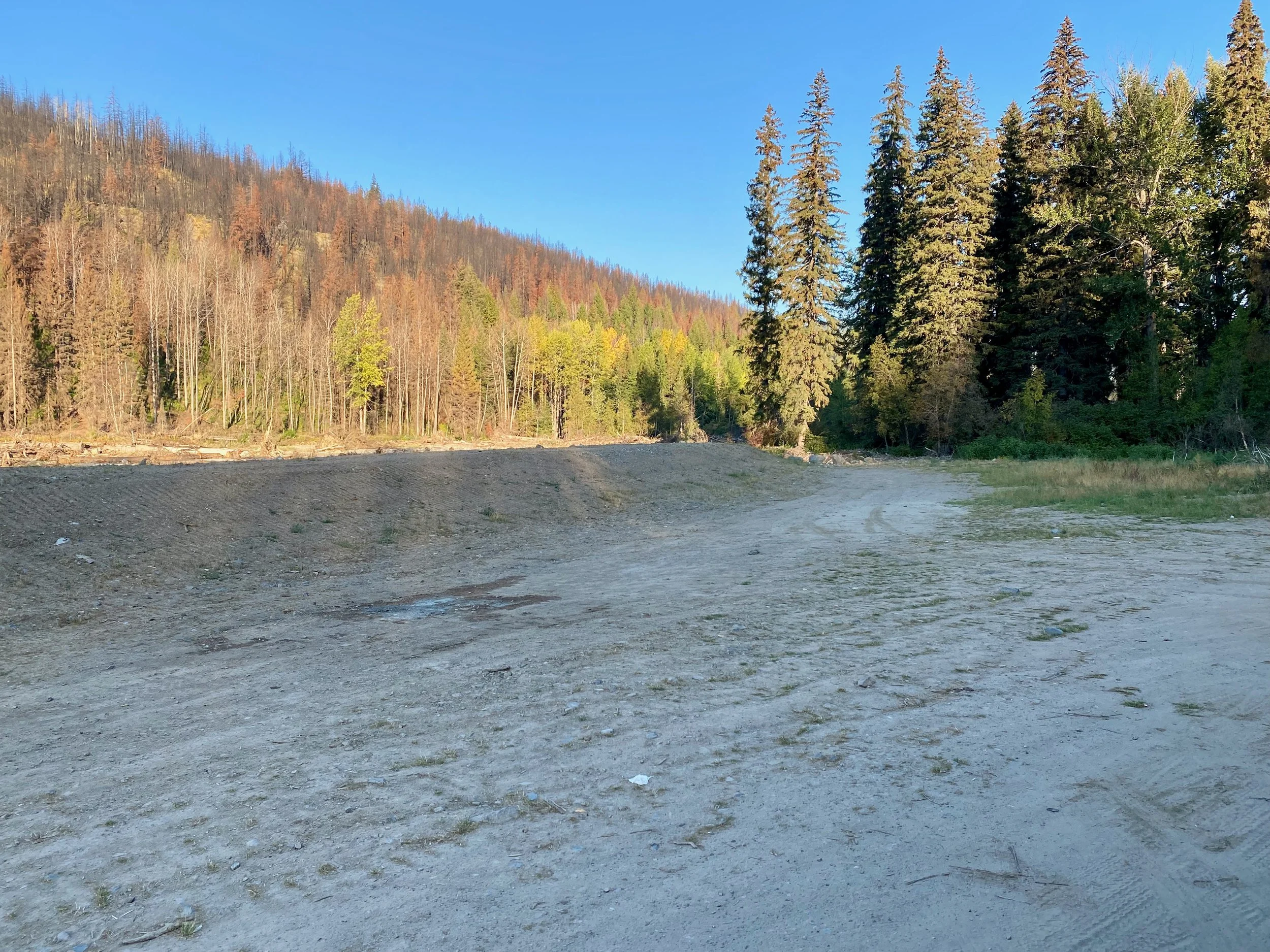
Scenery is more restricted because of the close tree line and steep hillsides. So we traveled through this region without taking many photographs. At this point it was a matter of getting south to visit relatives in the Caribou/Chilcotin, and then back to the coast and our commitments at home.