
Trans Canada Odyssey
July/August, 2019
2019 Trans Canada driving route. (18,713km)
All areas of Canada visited to date. (36,055km)
The first thing anyone contemplating a trip across Canada needs to know is that the country is big. Canada is the second largest country in the world by land area, behind Russia, and it covers six time zones. The other bit of trivia for someone driving is that there is no continuous four lane divided highway that goes coast to coast. A significant portion of the main Trans Canada Highway is just two lanes, undivided, and those sections are generally in areas where the road has steep hills and many tight curves. This creates many locations where the road is hazardous, and restricts the speed that one can travel, especially in a big truck.
Fortunately for us, speed is not a high priority. Our tires force that issue, as they’re speed restricted to 55mph (90kph). But that’s okay with us. After all, we’re not trying to set a speed record. Safety, on the other hand, is a high priority for us. That’s why we drive a 20 tonne truck. Aside from its ability to carry 800 liters of fresh water, and 950 liters of fuel for a range of 2500 kilometers, our large truck wraps us in a cocoon of protective metal with a 2000 pound block of metal out in front (the engine). Mass definitely has its advantages. It may be more costly to run, but it’s a form of life insurance that we’re happy to pay for.
Trip Timing
The massive, oddly shaped iceberg we saw off the coast of southern Labrador at Red Bay. (Shot from shore with a 600mm lens)
When planning the trip, we wanted to leave the west coast in time to arrive in Newfoundland when the icebergs were floating by and the whale migrations were at their peak. Unfortunately “stuff” got in the way and forced us into a later departure time. This pushed our arrival time in Newfoundland to early August, which was after the icebergs had finished and few whales were left in the area. All the whale watching tour operators had shut their doors for the season. Despite this, we did manage to see both, albeit to a much lesser degree. The one advantage to the later start was that when we did reach eastern Canada the heavy tourist season had already starting to ebb. This is something that we very much appreciated, since it made it easier for us to find parking places that would otherwise be jammed up with tourists.
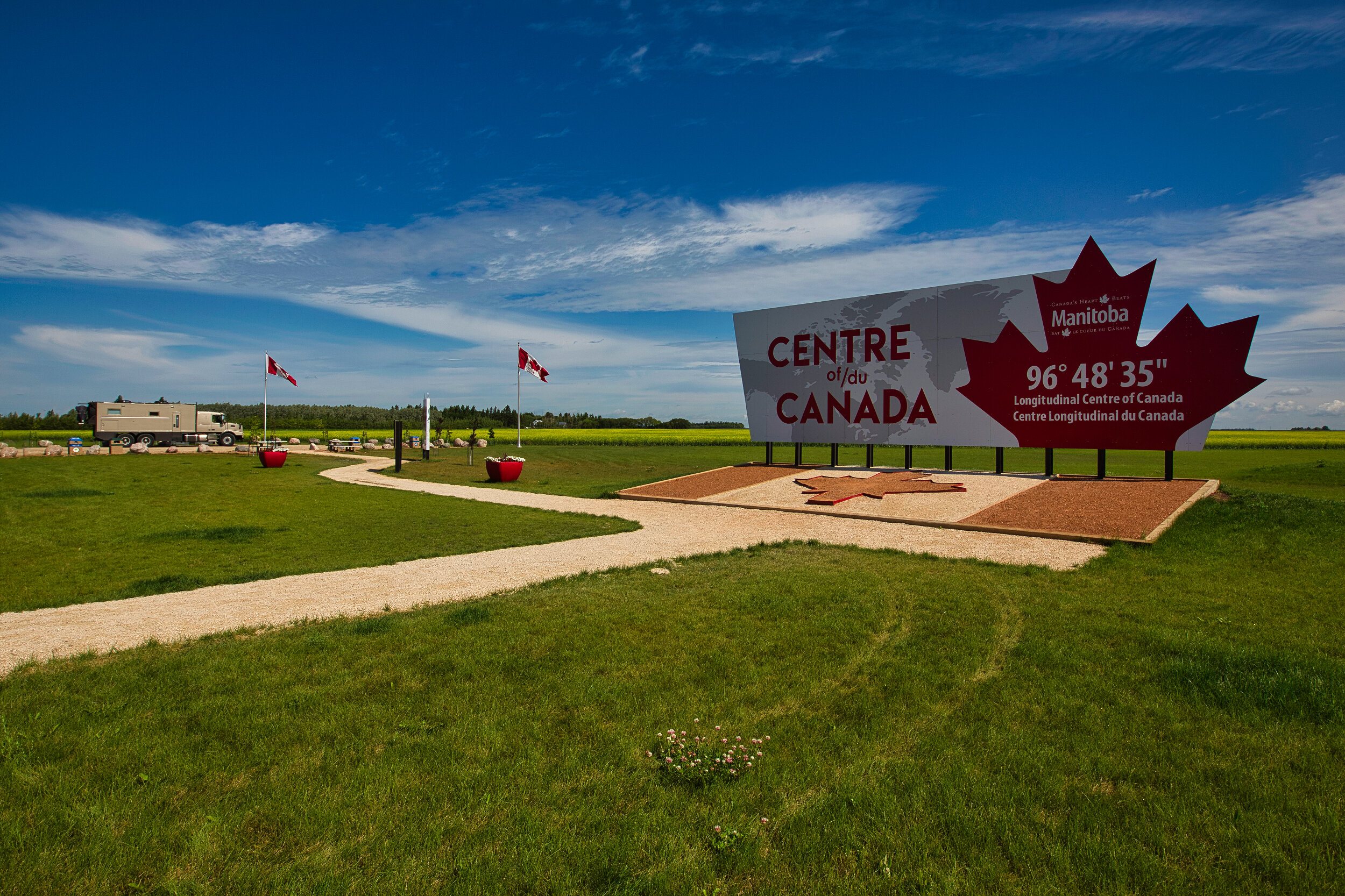
For the sake of this trip, its photography and story, I’ve elected to break it up into five regions. British Columbia, since this is where we live, and it gets lots of coverage in other trips, the Prairies (Alberta, Saskatchewan, and Manitoba) which, for the most part, are very flat and sparsely populated, Central Canada (which is Ontario and Quebec) because they are well populated, with so many towns, Newfoundland and Labrador since they are considered one province and essentially isolated from mainland Canada with only the ferry and one very bad road through Quebec to Labrador, and finally the Maritimes which includes New Brunswick, Nova Scotia and Prince Edward Island. The northern territories were not included in this trip, and are a special trip all unto themselves.