First Snow In The Rocky Mountains
October, 2021
Our route for this journey.
One of the best times to visit the Rocky Mountains is just after the first snow of the season. The skiff of white on the dark rock face offers a contrast that makes the ruggedness stand out in a way that can’t be seen at any other time of the year. The monotone appearance seen in summer, and indeed winter, just can’t compete with late autumn.
The great thing about this trip was that it began on October 7th, so we got autumn colour at the lower elevations, and then the black and white panoramas at the higher elevations when we got to the Rocky Mountains. There’s also fewer tourists to contend with at this time of the year, and that’s a bonus no matter the location.
Looking up at Vulture Peak near Bow Lake, 30 minutes north of Lake Louise, Alberta.
Autumn First, Then The Snow
Here in British Columbia, it’s often the case that the summer weather runs well into fall, and we have warm sunny days throughout much of October. This year was one of these times.
After clearing the congestion of the Vancouver lower mainland, we took the Coquihala Highway into the interior of the province. Our first stop for the night was in Chase, a small community that borders the South Thompson River at the south end of the Little Shuswap Lake. Our boondocking spot was a dirt parking lot by the boat launch ramp to the river. At this time of the year we could see the spawning salmon jumping out of the water all over the river, and a few of the locals lined up along the riverside fly fishing. We saw a lot more fish jumping than we did being caught.


After a peaceful night in Chase, the next morning we continued on eastward on the Trans Canada Highway through the Shuswap region and on to the town of Revelstoke. Situated alongside the Columbia River, it’s almost dead centre of the Columbia Mountain Range, which includes the Monashee, Selkirk and Purcell Mountains.
This location is the furthest we could get from the centre of the hotel and lift area.
Our overnight spot in Revelstoke was at the ski hill on Revelstoke Mountain. Tucked in a far corner alongside the helicopter pad, we had a peaceful night on the mountain thanks to the fact that it was in between the summer and winter season. During this period there’s little activity on the mountain. Nevertheless, it’s still a great place to spend time. Clean mountain air and warm autumn sunshine are always a great combination.
Exploring Highway 23, North of Revelstoke
From Revelstoke one can travel west, east and south and carry on to places far beyond. But going north takes you on the section of Hwy 23 that’s a dead end road. It terminates at the Mica Dam on Kinbasket Lake, a 200km long body of water that feeds the dam, and is the headwater for the mighty Columbia River. It sits in the valley between the Caribou/Selkirk mountains and the Rocky Mountains, which is the reason why it’s such a huge source of water.


We had come to Revelstoke to visit a close friend, and we ran out of time to make it to the end of the road at Mica Dam. So we’ll have to scope that out sometime in the future.
When we were done in Revelstoke we carried on to the east and did an overnight stop on a side logging road west of Golden.

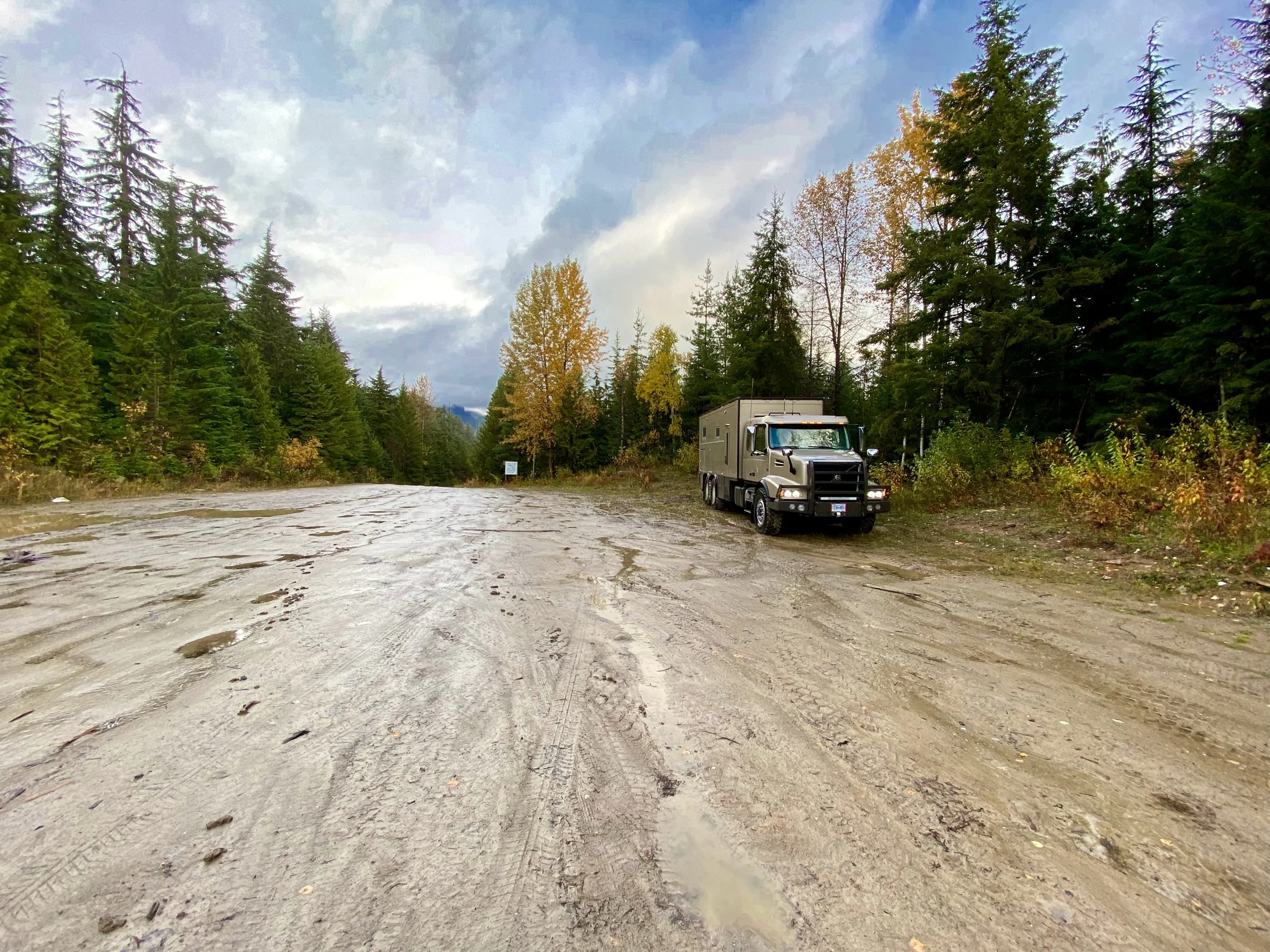


We came across this scene the next morning as we got closer to Golden, and it was just too photogenic to pass up.
From Golden To The Rockies
A glimpse of the extensive reconstruction of this section of the Trans Canada Highway.
Traveling east of Golden leads one into the Illecillewaet River canyon, a rugged and deep cut in the topography. The highway is high up on the canyon wall, and because of this has given this section of highway a lethal reputation both for those doing stupid things, as well as for those who were just in the wrong place at the wrong time when rocks fall. After decades of carnage, the various governments finally decided that something should be done about it. This work has closed the highway many times forcing long detours, but for us on this trip, we were lucky and the highway was open for us to pass and save a lot of time getting to the Rockies.
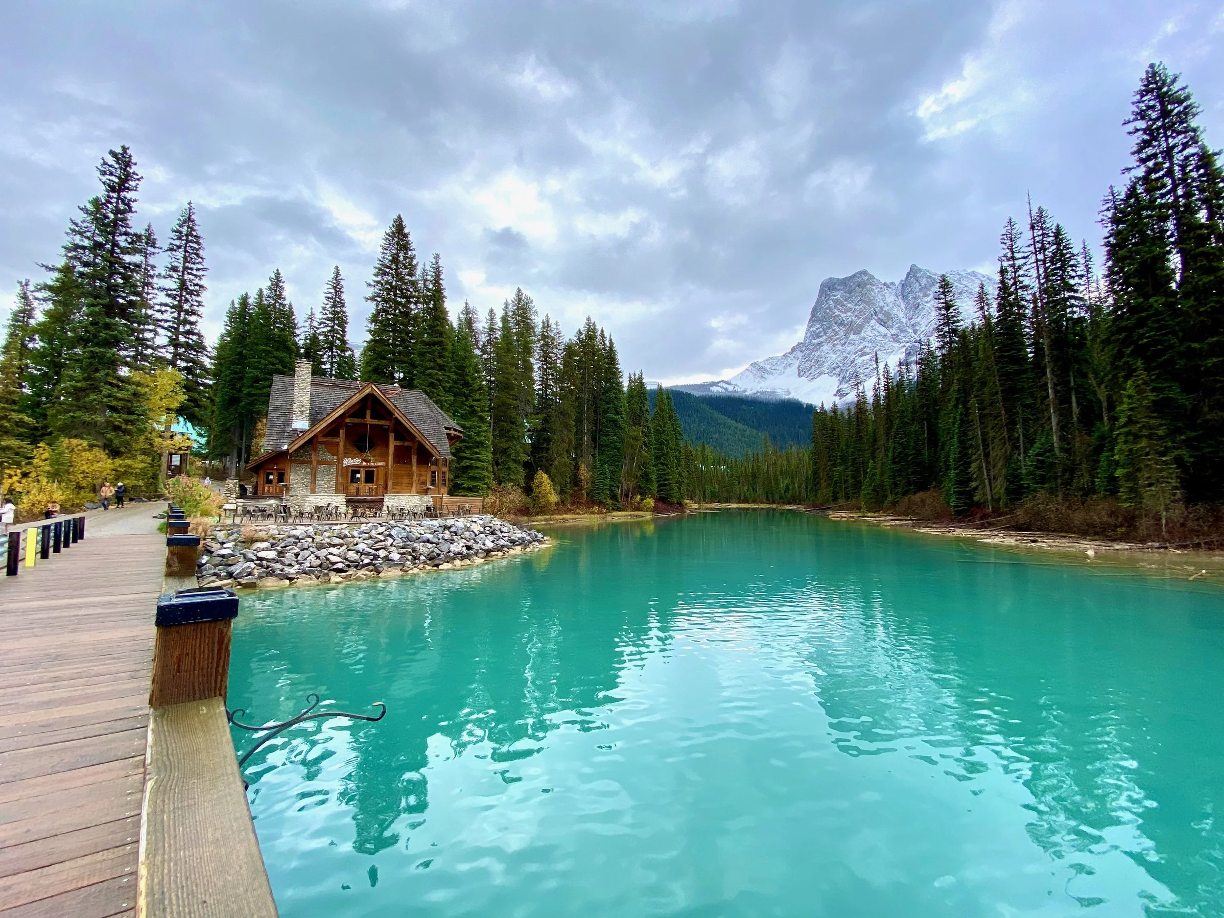
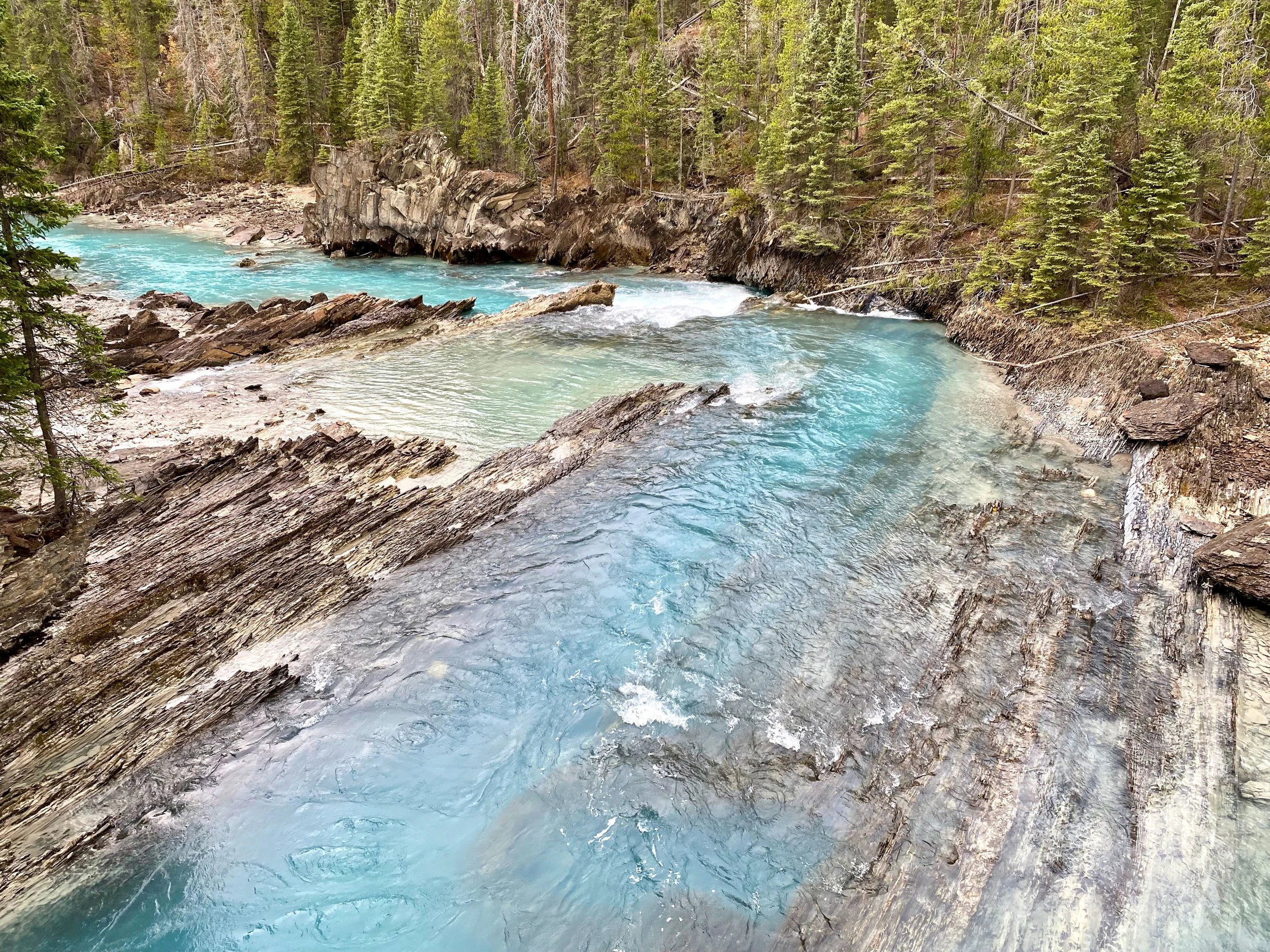
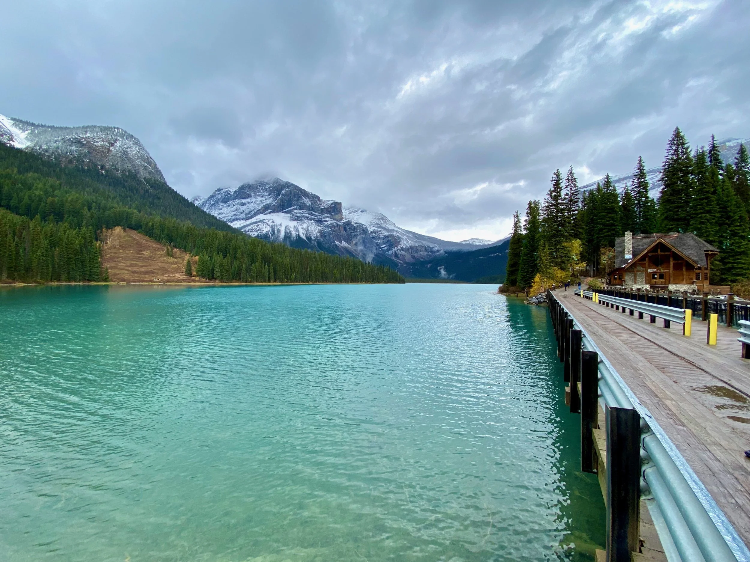
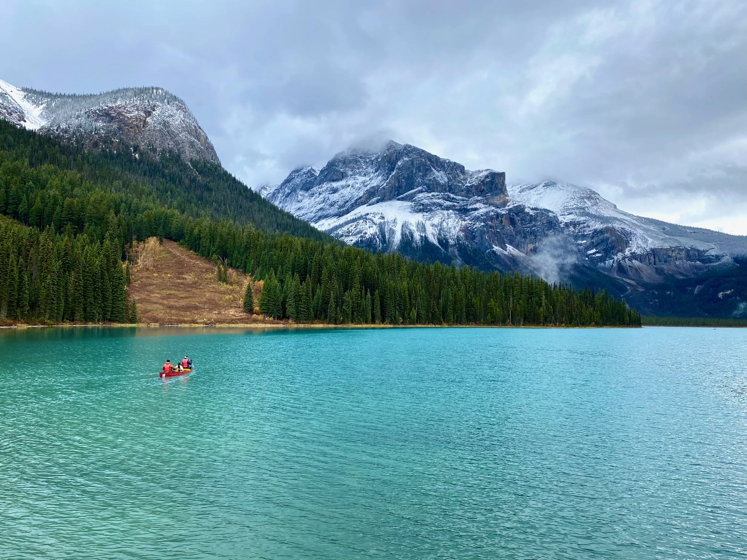
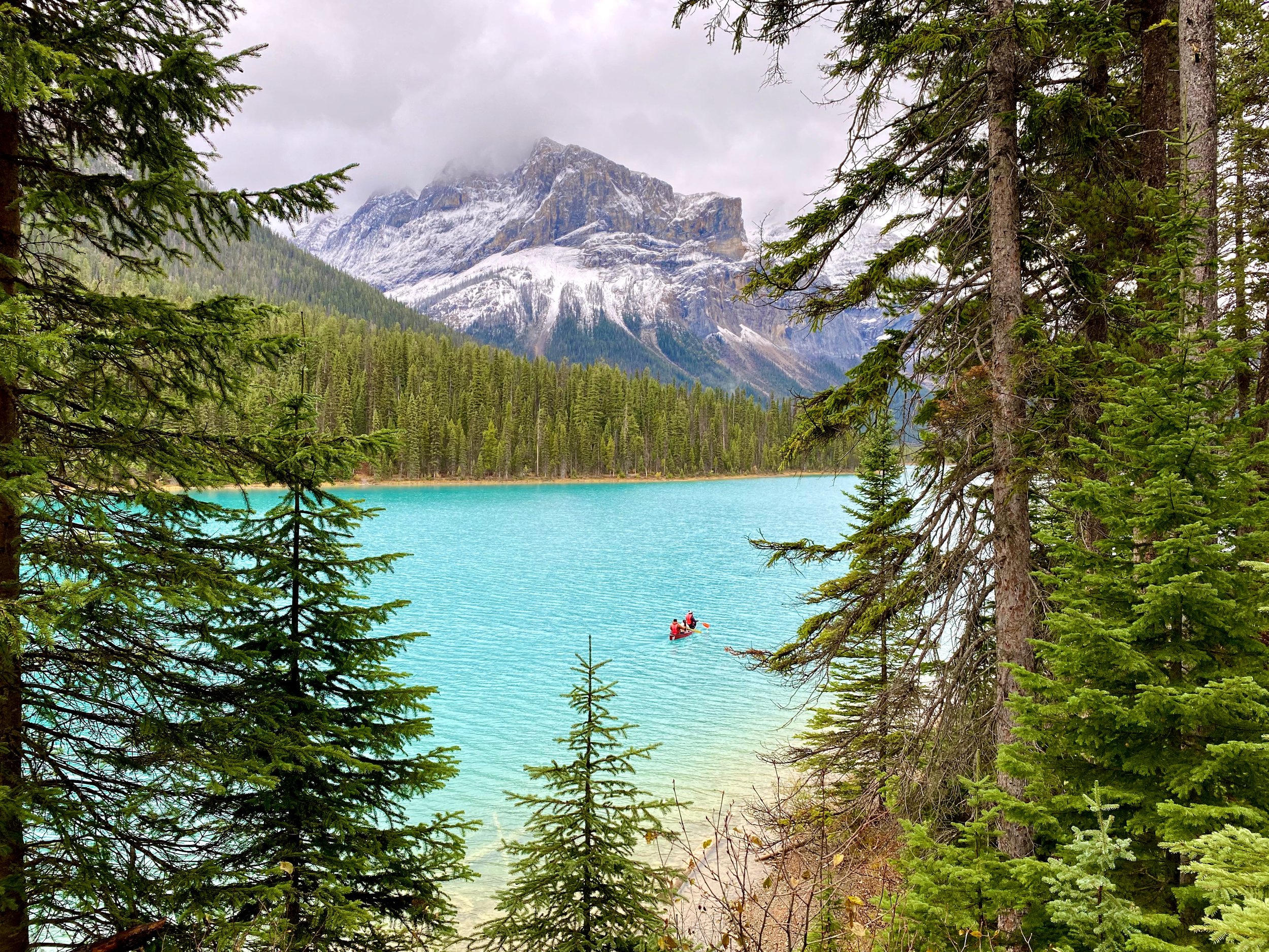
Exiting the canyon leads one into the stretch of highway that winds its way through a long flat valley bottom where the town of Field is located and the entrance to Yoho National Park. In Yoho we visited the Natural Bridge and Emerald Lake.


Before we left Yoho National Park we stopped briefly at Field in the Kicking Horse River valley. We’ve stopped here numerous times before, so this time we just parked at the visitors centre out on the highway and made some tea.
Looking out at the beginning of mountain storm that few would feel good about.
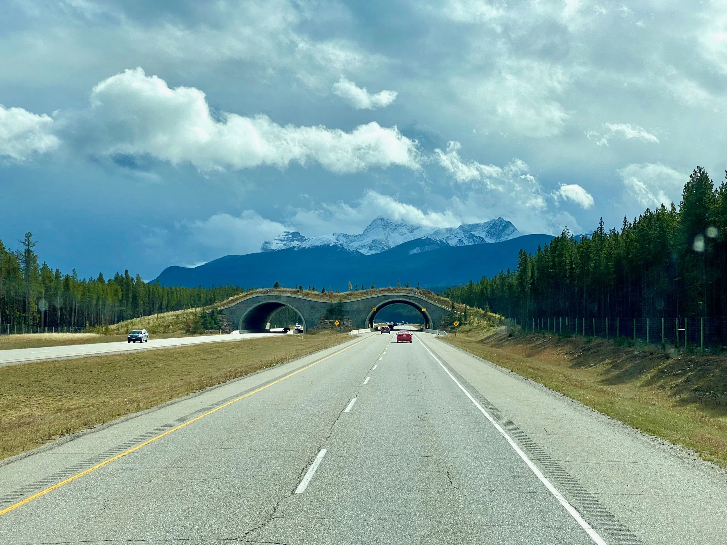
While there, a winter style storm blew in and blanketed the area in thick sleet and considerable misery. We felt sorry for the others that were traveling in regular cars and had to endure the soaking to get to and from the coffee bar in the visitor centre and fuel station. Since we have our own coffee bar in house, and a dry tunnel to crawl through, we enjoyed our break and then carried on to Canmore for fuel and a back street to camp on.


Driving North Through The Rockies
The sharp Hilda Peak, with 3,491m (11,453ft) high Mount Athabasca behind it to the left.
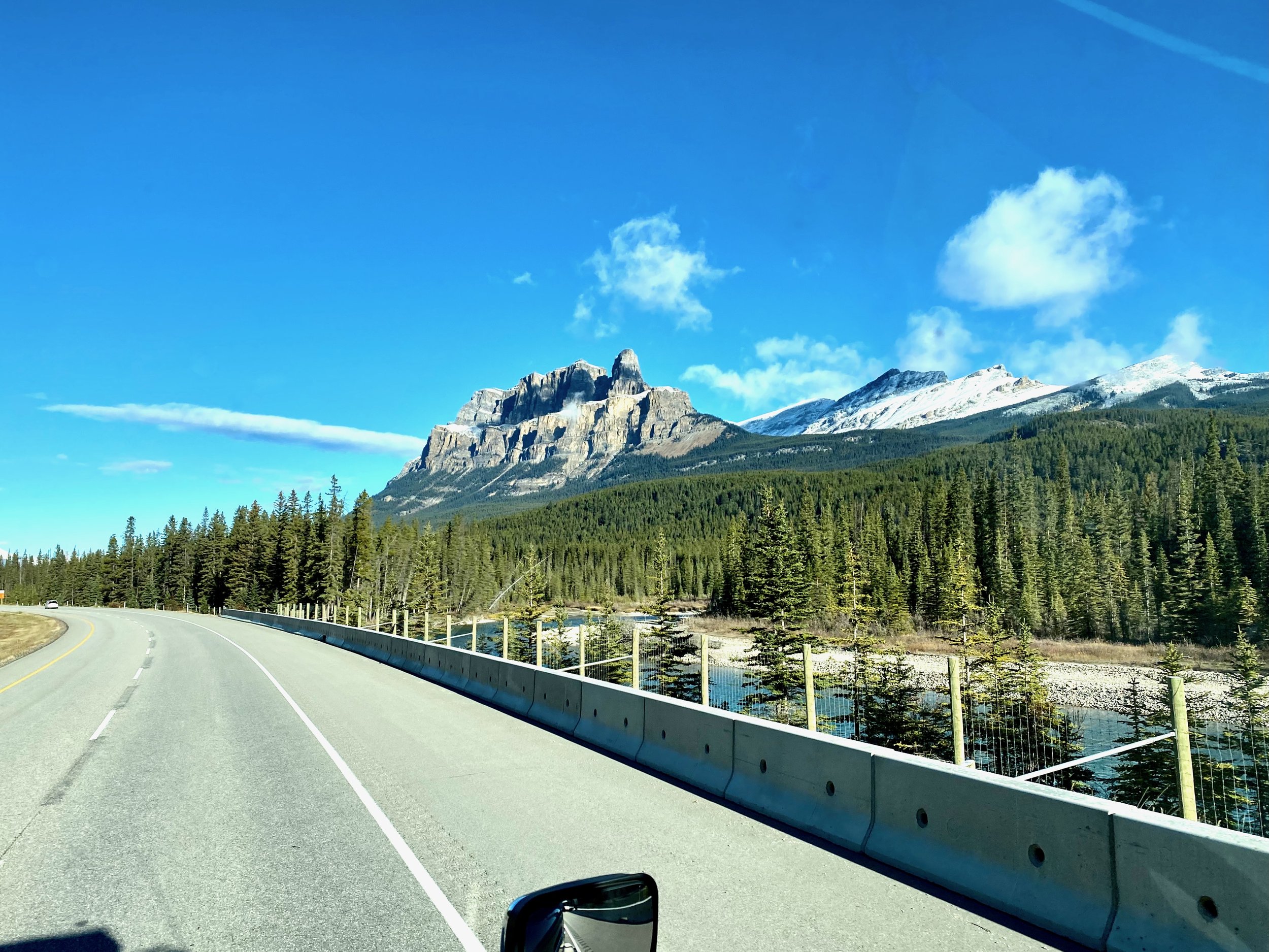
The best views of the Canadian Rocky Mountains is seen on the drive north from Banff on the way to Jasper. The whole journey is through two national parks, created in 1885 (Banff) and 1907/1930 (Jasper) for their pristine beauty and diverse wildlife.
Known as the Icefields Parkway, the road north of Lake Louise takes one on an amazing visual experience, one crafted by Mother Nature at her very best. The biggest downside to the parkway is that during busy tourist times the popularity of the drive can sometimes overwhelm the available scenic pullouts and make it hard to park at times.


This shows the path of the Athabasca River, and the water bodies it flows into.
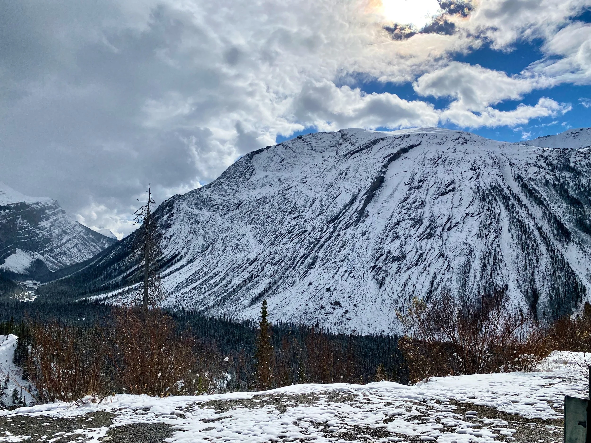
The two major attractions for tourists on the Icefields Parkway are the Athabasca Glacier and Athabasca Falls. One attraction, of course, feeds the other. The glacier is a big deal, and as such has a large hotel (Glacier View Lodge) and visitors centre across the highway from it. Unfortunately, the passage of time has eroded the glacier so that its toe is now several kilometres further away from the highway than it was when we first saw it back in the early 1980s.
Few appreciate the importance of the Athabasca Glacier, and indeed the Columbia Icefields in general. It’s from this massive frozen reservoir that the Athabasca River originates. This river flows northward, connecting numerous bodies of water until it eventually connects with the mighty Mackenzie River and flows ultimately into the Arctic Ocean some 6200 kilometres away. It’s part of the Mackenzie River system that drains one fifth of Canada, an area of over 1.8 million square kilometres. As a comparison, it’s an area nearly as big as all of Mexico.


Heading West From Jasper
Mt. Robson presents an imposing scene no matter what time of the year it’s visited.
After reaching the town of Jasper, and spending an overnight stay on one of its streets, we turned west and headed on our journey back to the south coast. Enroute we pass through several regions of British Columbia that have unique characteristics, and do well to round out our autumn excursion.
Along the route, the first location of significance is Mt. Robson Provincial Park. The mountain is significant enough that it could be worthy of National Park status, but as it stands, it remains under provincial jurisdiction. This is a good thing as there are less rules and restrictions, and visiting it doesn't cost anything, unless you use the excellent campsite across the highway.


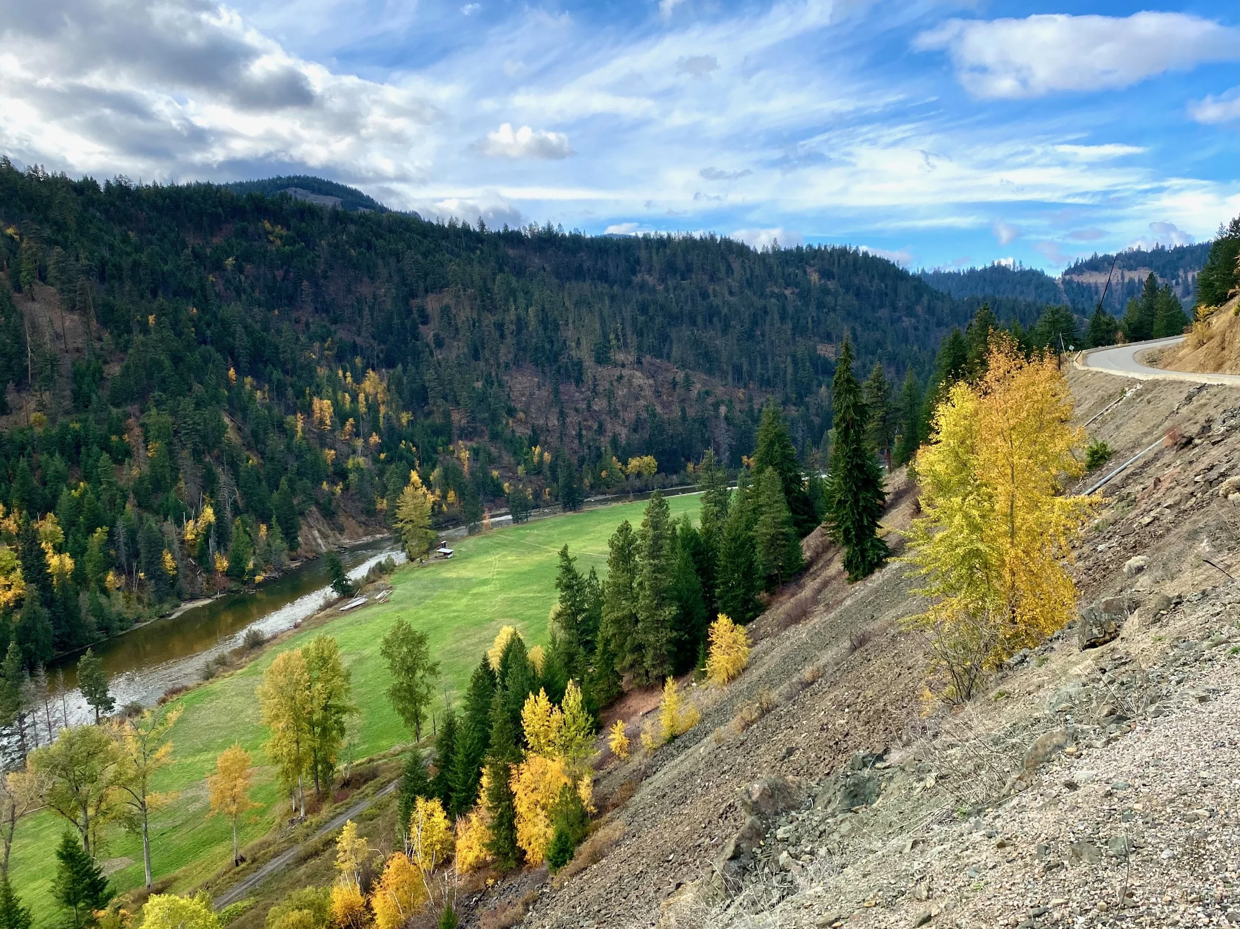
Carrying on southwest from Mt. Robson, one travels along Highway 5 and past a number of small communities. Many of these towns we’ve stopped overnight in at one time or another. It’s a good road, but undivided with lots of windy sections. So best traveled at a more leisurely pace to really enjoy.


Forest service campsites can be some of the best in the province. The ones along this road spread out along the lake shore.
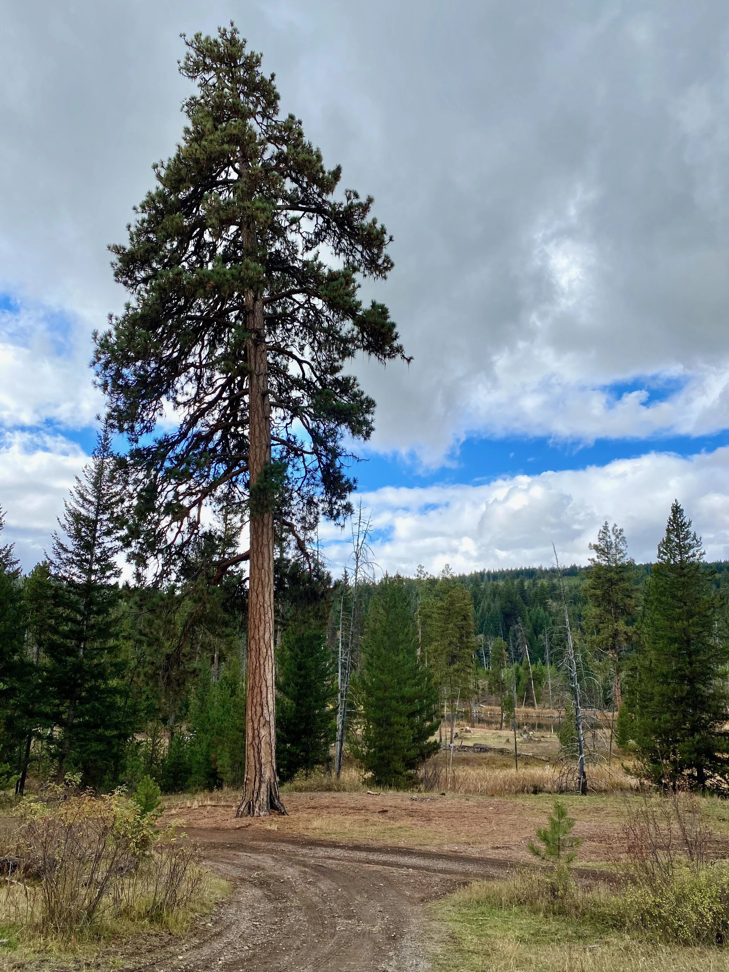
Traveling down Highway 5 we transition from the Fraser-Fort George region to the Thompson-Nicola region. Doing so manifests itself visually with a change in both topography and vegetation, which is especially noticeable when you get off the main roads and start traveling the back roads.
From Kamloops south we traveled the back roads and spent time exploring areas we hadn’t seen.
Traveling the backroad through the Tulameen area of the southern Nicola Valley.