Northern B.C. Circle Tour
September, 2016
British Columbia, Canada
Starting out some three months earlier, this trip was supposed to be part of the ill fated B.C. central coast trip, and the Great Bear Rain Forest. Interrupted by the total failure of the two main body mounts, we had to abort the trip in order to limp back to Vancouver so we could redesign and then remake new body mounts that we could rely on.
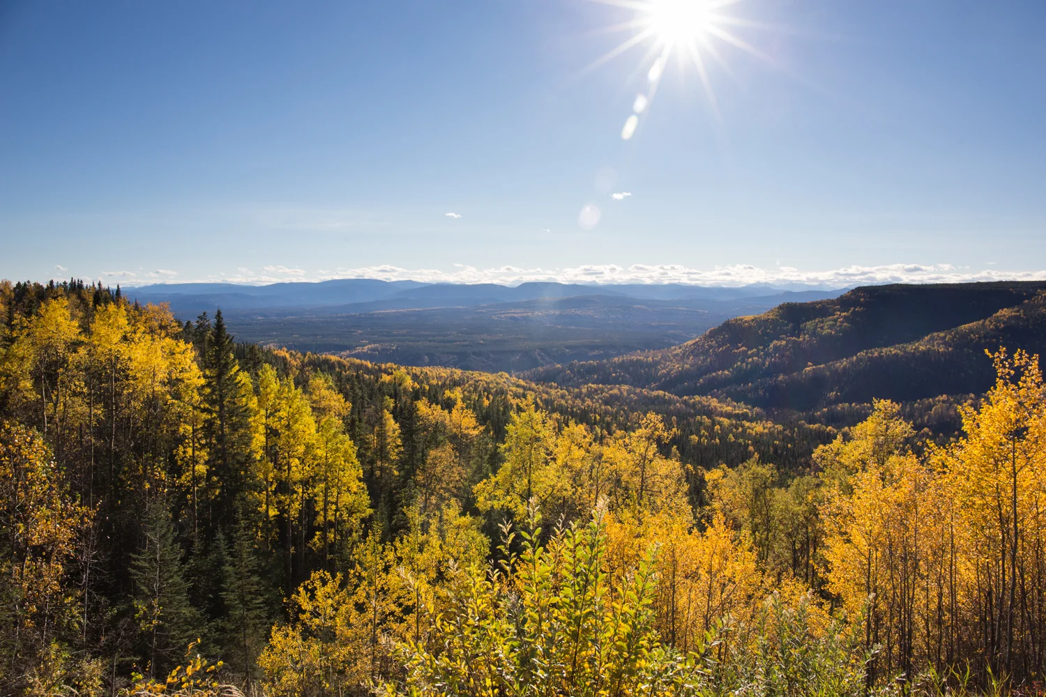
The later start to this northern portion of the trip had both a positive, and negative, effect on our journey. Since it was now late September, the positive effect was that all the magnificent fall colours were on display across the landscape. Unfortunately the negative effect was the onset of winter weather once we got to the Yukon. Since we didn't have our tire chains with us, and we still weren't convinced that our boiler system was reliable, we had to turn back south once we hit Watson Lake. Weather forecasts called for significant snowfall in the Yukon, and we just couldn't risk getting caught in it.
Towns along the route
Hope
Yale
Boston Bar
Lytton
Spences Bridge
Ashcroft
Cache Creek
Clinton
100 Mile House
Lac La Hache
Williams Lake
Quesnel
Wells
Barkerville
Prince George
Chetwynd
Hudson's Hope
Fort St. John
Fort Nelson
Toad River
Watson Lake
Cassiar
Dease Lake
Stewart
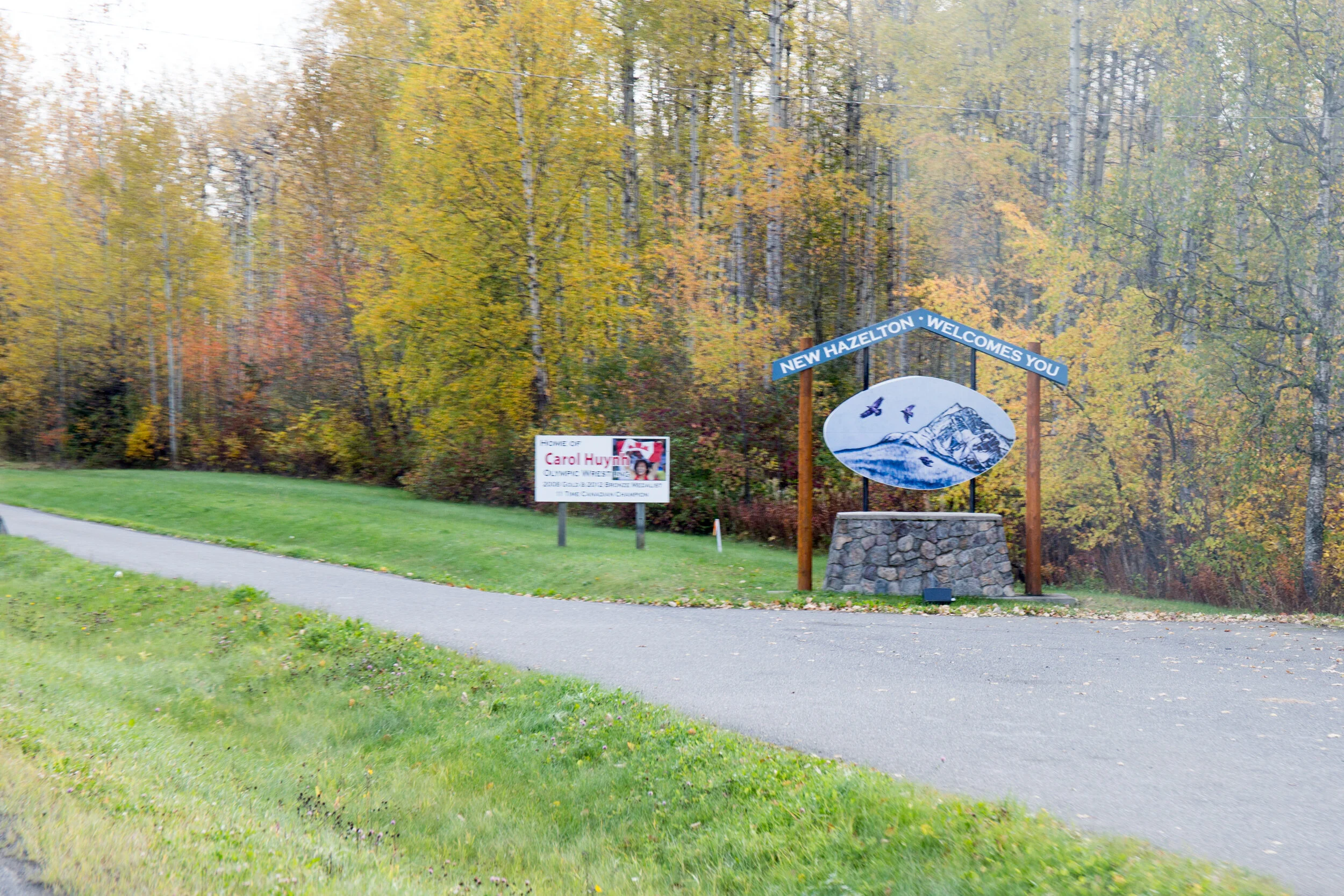
New Hazelton
Smithers
Burns Lake


The Fraser Canyon
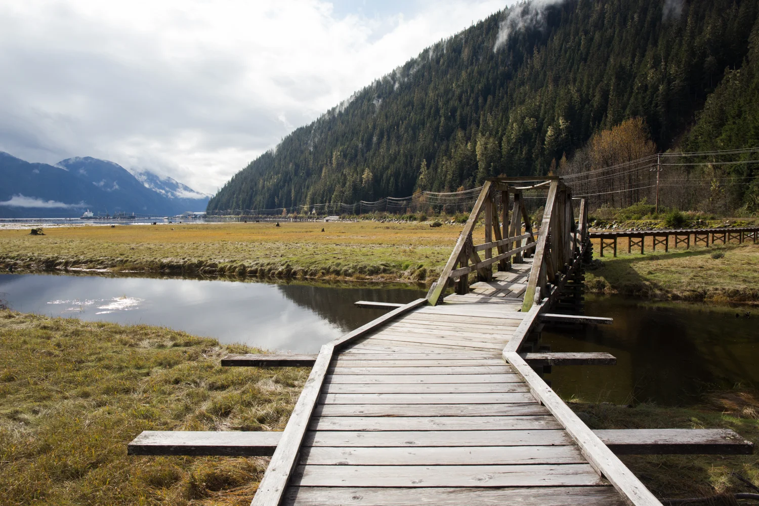
By the time we got out of Vancouver and the lower mainland, we didn't get too far into the Fraser Canyon before it was time to find a camp for the night. The simplest thing for us was to make use of the provincial campgrounds. At this time of the year they are virtually empty. The one we chose was well above the highway on a mountainside overlooking the mighty Fraser River.
From high top the hillside we were offered a clear view of the canyon and river below. Waiting just long enough for the sun to un-shade the chasm below, we could see a train winding its way along the ribbon thin ledge carved into the rock.
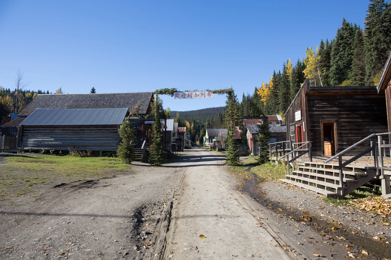
Old Gold Towns
Travelling quickly through the Cariboo region, at its northern boundary we make a detour to the east to visit Wells and Baskerville. Two small towns that figured into the early gold rush days of the Cariboo, and which were managed by the Cariboo Gold Quartz Mine company. With populations in the 1930s nearing 5000, these towns are now a shadow of their former selves. Largely tourist supported today, they have resident populations of around 300, which can shrink to only 100 in the wintertime.
We arrived in Barkerville only a few days before it was to close for the season. Although sunny, the temperatures overnight were below freezing, and a heavy frost lay upon everything. We were the only visitors for the morning.


Peace River Country
The northeast region of British Columbia is know as the Peace country. Named for the large river passing through it, this area is bountiful farmland with long, sunny summers. It's also home of a massive infrastructure project from the 1960s. It's what provided B.C. with abundant electrical power for the last fifty years, and where all these years later, is the location of a second major hydro-electric project providing clean energy for the future power needs of the province. It's a controversial project costing billions, but for a northern country where the sun is absent so often, it may well be the only viable solution.


The Boundary Region – B.C. & the Yukon
As one moves closer to the B.C. – Yukon border area, the communities become smaller, and spread further apart. This means vast tracks of land that are totally devoid of human population. But along the Alcan highway there are few towns, and numerous whistle stops that service those that use the highway. In some locations work accommodations in the form of portable building camps have been constructed to house those that earn their livelihood from the remote oil and gas projects, and other infrastructure work that is underway.
The last real town before the run to the Yukon border is Fort Nelson. North of that there are just work camps, a few fuel stops and wilderness tourism operations. But these should not be passed by. Like the stunning beauty that surrounds them, these often small operations have a charm and consequence about them that is worth the travellers consideration.


We stayed overnight at one such place. Though we didn't need fuel, or even a campground to stay in, it did feel good to pull of into the camp at Tetsa River Outfitters. They provided accommodation for area workers, RV spots for motorhomes and ordinary camping spots for tenters and the like. We parked in one of the tenting spots and had a nice quiet night. But it was the morning that we were looking forward to. You see, Tetsa River Outfitters is know especially well for one thing in particular… and that would be cinnamon buns. Big and gooey, one is enough to feed the two of us, and maybe for more than one meal. We bought a bunch of them.


The Yukon & The Turn South
Although we had planned to continue northwest to get to Kluane National Park & Reserve, the weather forecasts we received in Watson Lake made us reconsider the plan. The last thing we wanted to do was get catch in heavy snow without the appropriate equipment to travel safely. So after a quick tour of the town of Watson Lake, we headed over to the provincial campground at the actual lake. Watson Lake's claim to fame is its attraction called the Sign Post Forest. It was started in 1942 by a worker on the Alaska highway. He was asked to repair some sign posts, and added one of his own showing the distance to his hometown in the southern 48 states. The practice caught on with other travellers adding signs of their own, and by 1990 a couple from Ohio added the 10,000th sign. Today the forest boasts over 77,000 signs, and still continues to grow every year with new visitors bringing their own contribution.


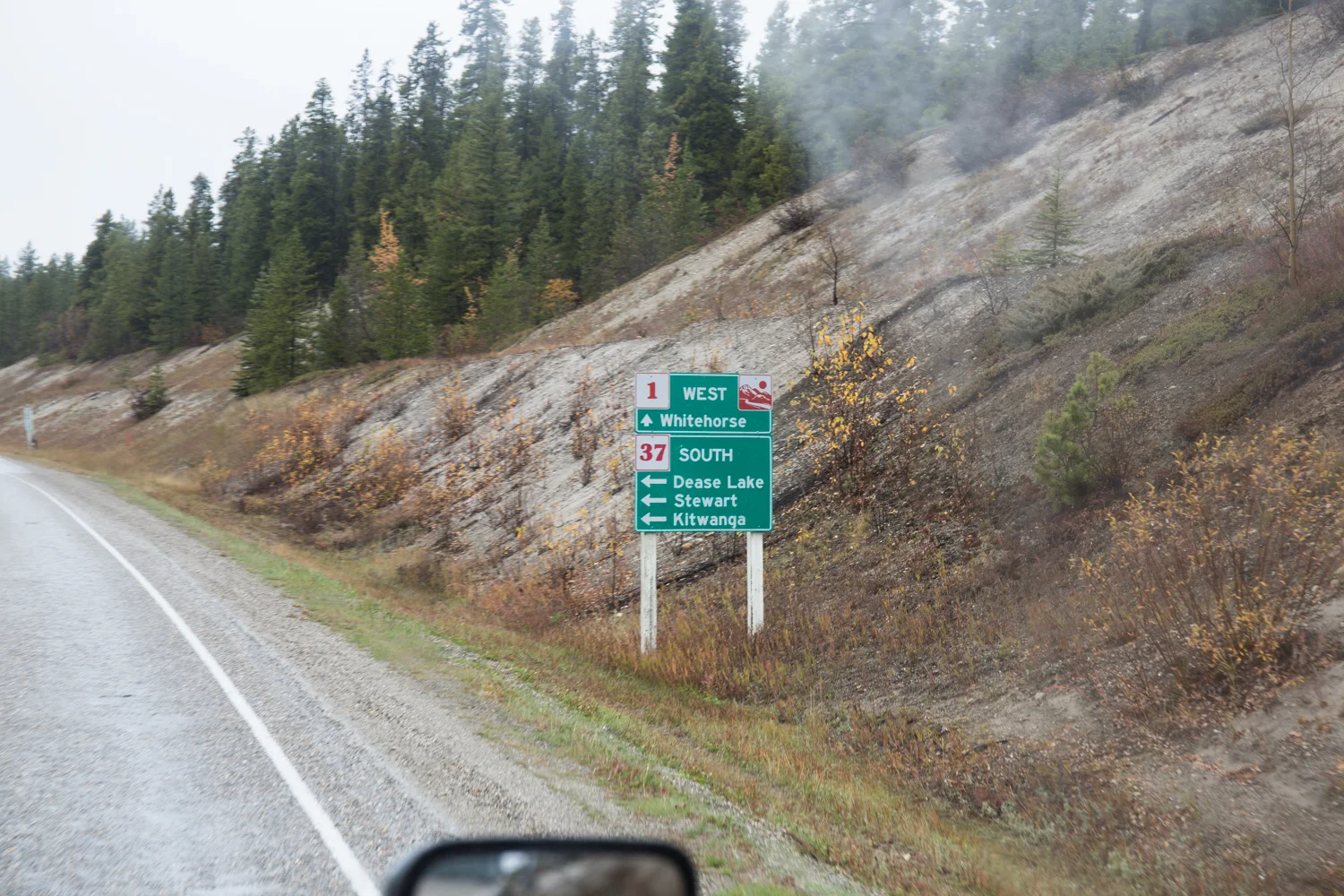

Finishing the circle – The Stewart Cassiar Highway
Although it's designated as a provincial highway, Highway 37 certainly doesn't measure up to what most people think of when they hear the word "highway". Known as the Stewart Cassiar Highway, it's 720 kilometres long, with only a single lane in either direction. It also has a reputation when it comes to accidents.
Our first look at the north end of Highway 37.
In fact, on our journey south, we had only been on the road for about an hour when we came upon a fully loaded B-train semi coming around a corner at us. We were on the inside of the corner, but so was the truck driver as he came around trying to make up time by driving on our side of the road. With only fifty metres between us, he swerved back onto his side of the road, but because of his high speed, and the now sharper bend, all 15 tires on the drivers side of his truck and trailers came off the ground. We thought for sure that he was gone, but I guess his time hadn't come yet, as he managed to keep the rig on the road. If he had been going just a little bit faster, or if his load had shifted, the whole rig would have rolled into the 20 foot deep ditch on the side of the road. If he had gone off the road, it's unlikely he would have survived the crash.
Yes, we had to change our underwear afterwards.
Talking with someone at a settlement further down the road, we learned that the north end of the highway is so remote that there's essentially no law enforcement, so truckers routinely speed and cut corners to make up time. According to this person, there's usually a half dozen truckers a year that loose their lives with this foolishness. We're just thankful that our time hadn't come up either. Most high speed head on collisions between class 8 trucks usually don't end well.
This fully loaded semi went off the road here, on a mile long straight stretch. The trailer split apart and his load was spread out all over the place. Someone didn't get their shipment.
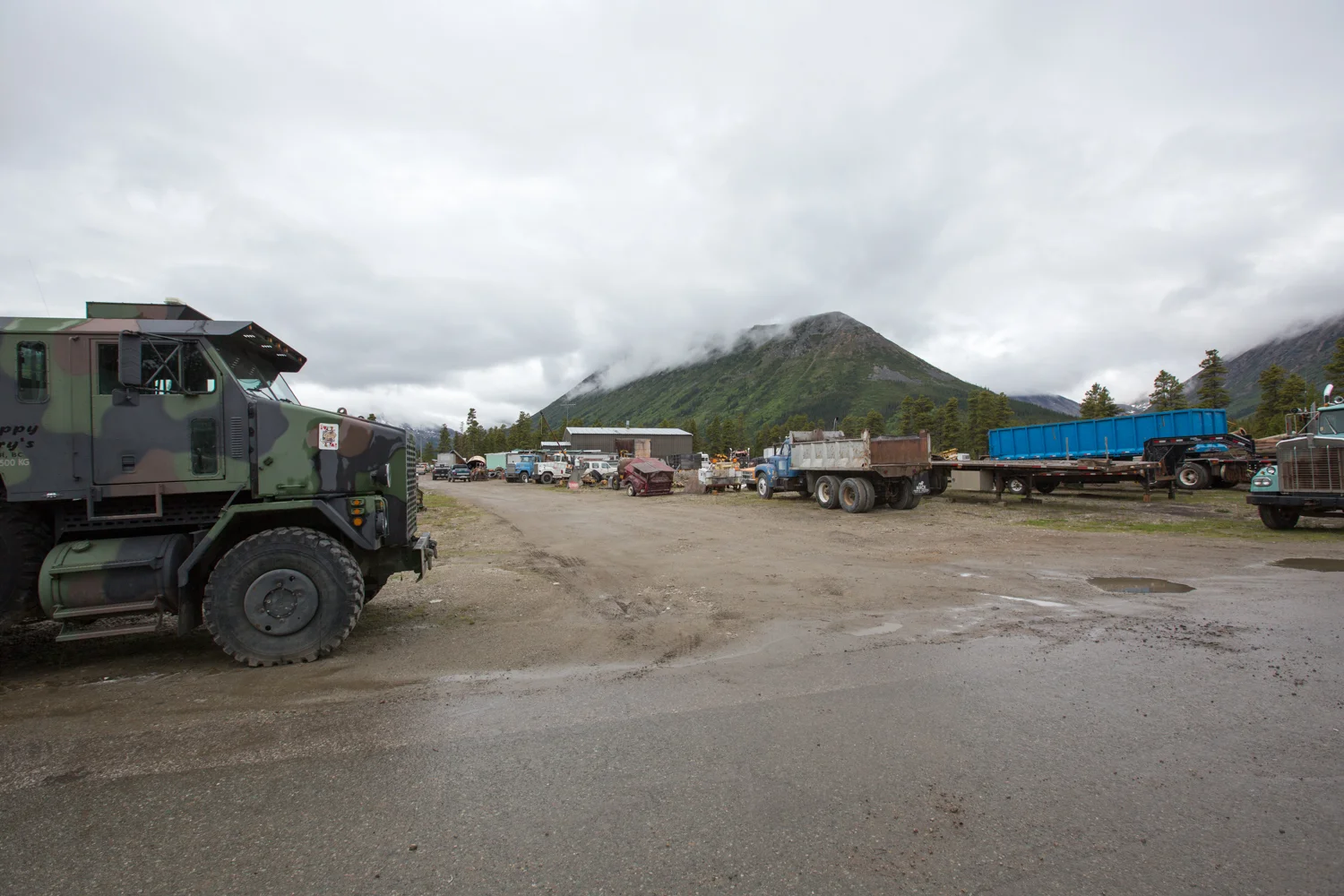
The Old Mining Town of Cassiar
Leading west off of Highway 37, is an unmarked, partially hidden two lane road that connects to the mining ghost town of Cassiar. The asbestos mine opened up in the early 1950s, and because of it's remote location, the company accepted the fact that they would have to build a community there in order to attract people to work in the mine. The mine shut down after forty years in operation, and all that remains there now are the old mine buildings, the massive piles of mine tailings, and a few people who have decided to live there.
The most notable of those who have made this old mining town their home base, is a scrap business run by an old timer named Scrappy Larry. We crossed his path while we were driving around. He came by in his pickup truck, and we had a chat for a few minutes. He seemed like a fairly nice guy, but his appearance was exactly what you would picture when thinking of a guy running a scrap business from a very remote and abandoned mine in the wilderness of B.C.


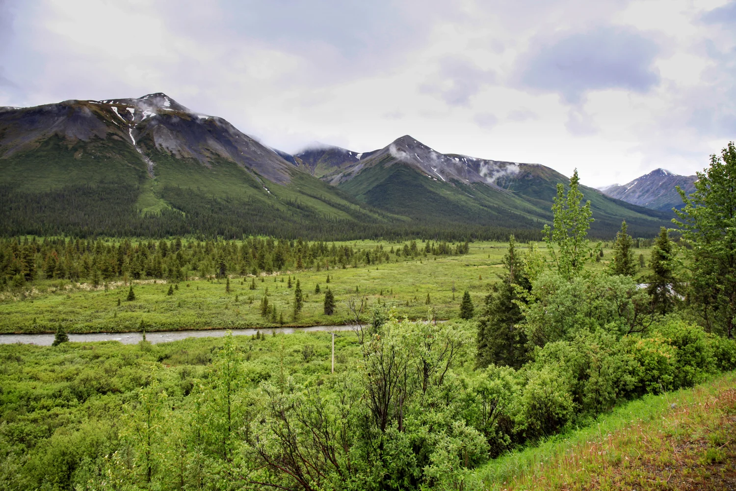
Stunningly Beautiful, But Very Remote
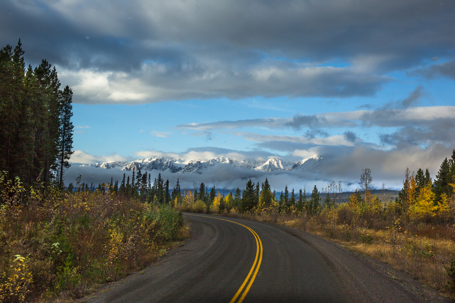
Once you start down Highway 37 you soon appreciate just how remote it is in this part of British Columbia. The road is flanked on both sides by tall mountains, and being closer to the coast, it sees a great deal of cloud and rain. So yes, it's very green. But when the sun does come out, the beauty can be indescribable.
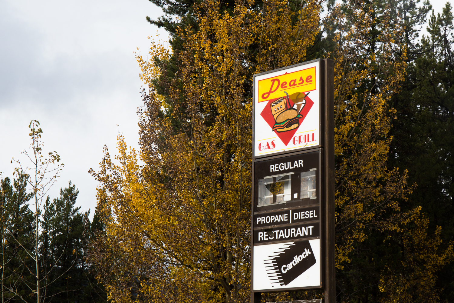
Spread out along the 700 kilometre length are a few settlements, all of which are very small, and only a few still have fuel available to motorists. Jade City isn't really a city, but rather a tourist stop for people to shop for jade products that are made from the private jade mine that hides itself well up in the mountains. Apparently it produces a very high quality jade that is coveted in Asia, so most of what they mine ends up over there.
Dease Lake, one of the larger communities along the road, is still very small by most standards. It's home to the only police presence in the area, and they're responsible for everything from the Yukon border down to Meziadin Junction. A distance of 565 kilometres.


Stewart, B.C and Hyder, Alaska
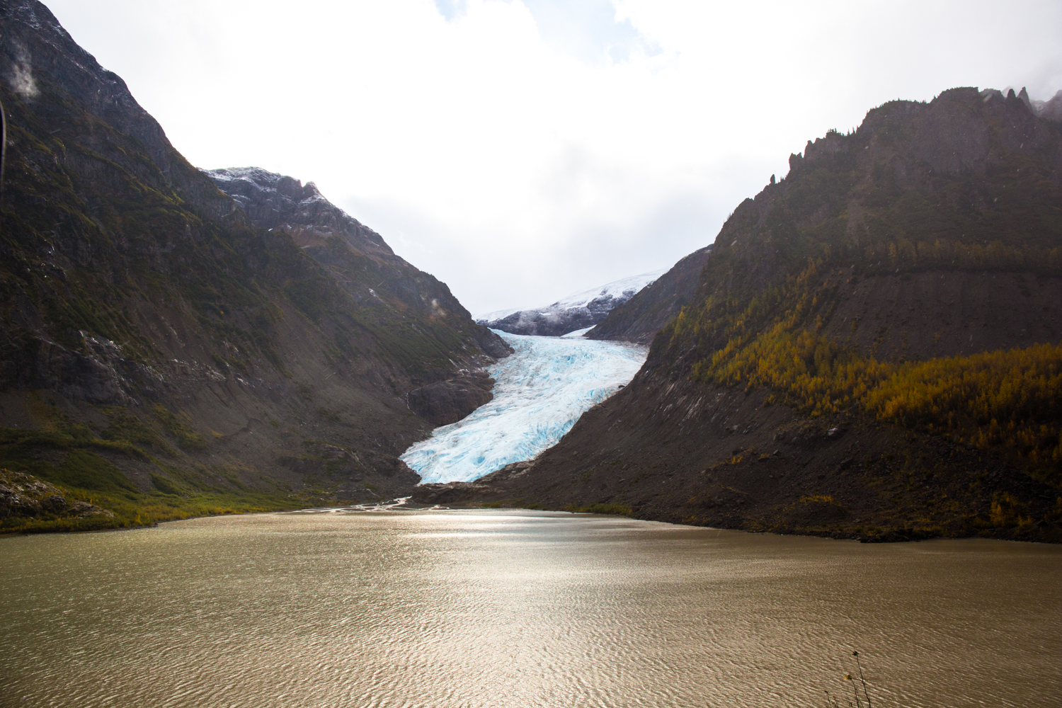
A little over three quarters of the way down Highway 37 is the intersection known as Mediadin Junction. It's a main fuel stop, and the point where the road branches over toward the town of Stewart, and the U.S. town of Hyder, Alaska. It's about an hour drive from the junction, and sits at the end of the Portland Canal that connects Stewart and Hyder to the open ocean. Several glaciers can be seen on the opposite side of the river that flows alongside of the road.
The area was rich in gold and silver, and had a population of around 10,000 prior to World War I. But once the minerals ran out the population has been declining ever since. Today Stewart is home to less than 500 residents.


South of Meziadin Junction
The drive from Meziading Junction down to Highway 16, the main east-west route from Prince George to Prince Rupert on the coast, is about 150 kilometres. By the time we had finished exploring Stewart, it was late afternoon. So we decided to camp at Meziadin Lake, a large lake in the area with a great provincial campground. The only problem is that this late in the season, the campground is closed. So we had to find our own spot down the road a short way. We found a spot right on the lake, at a makeshift boat launching area in what appeared to be a residential area, most likely for summer holiday cottages. We later discovered that this boat launch was used by locals to wash the mud off their vehicles after a days work in the back country. Four or five cars showed up, and one by one they drove the vehicles into the lake up to the door sills, and moved the vehicle back and forth in the water to slosh off the mud. As soon as they were finished, they all disappeared and we had the location all to ourselves for the night.
The next morning we headed down the road for the last two hours spent on the Stewart Cassiar Highway. Along the way we had sunshine, rain, fog and several black bears crossing the road. Once we hit Highway 16 we fuelled up and made the drive back to Prince George where we first turned east to start the northern circle tour. From there we headed south to make our way back to our home base in Vancouver.